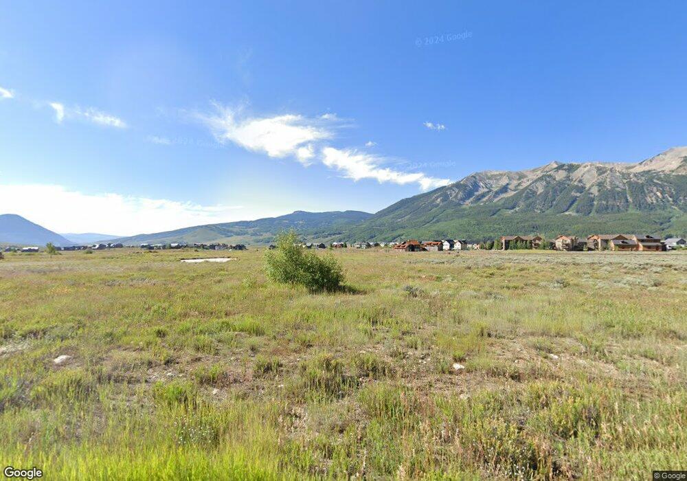
136 N Avion Dr Crested Butte, CO 81224
Estimated Value: $111,747
--
Bed
--
Bath
--
Sq Ft
0.5
Acres
About This Home
This home is located at 136 N Avion Dr, Crested Butte, CO 81224 and is currently estimated at $111,747. 136 N Avion Dr is a home located in Gunnison County with nearby schools including Gunnison Elementary School, Crested Butte Community School, and Gunnison Middle School.
Ownership History
Date
Name
Owned For
Owner Type
Purchase Details
Closed on
Jun 27, 2019
Sold by
Yum & Yum Co
Bought by
Yum & Yum Co Llc
Current Estimated Value
Purchase Details
Closed on
Jun 11, 2019
Sold by
Dinner Bruce
Bought by
Yum & Yum Co
Purchase Details
Closed on
Oct 24, 2018
Sold by
Lbc Buckhorn Colorado Llc
Bought by
Dinner Bruce
Purchase Details
Closed on
Sep 11, 2018
Sold by
Landy Richard A
Bought by
Lsc Buckhorn Colorado Llc
Purchase Details
Closed on
Aug 14, 1996
Create a Home Valuation Report for This Property
The Home Valuation Report is an in-depth analysis detailing your home's value as well as a comparison with similar homes in the area
Home Values in the Area
Average Home Value in this Area
Purchase History
| Date | Buyer | Sale Price | Title Company |
|---|---|---|---|
| Yum & Yum Co Llc | -- | None Available | |
| Yum & Yum Co | $79,000 | None Available | |
| Dinner Bruce | $76,300 | Land Title Guarantee Co | |
| Lsc Buckhorn Colorado Llc | -- | None Available | |
| -- | $92,500 | -- |
Source: Public Records
Tax History Compared to Growth
Tax History
| Year | Tax Paid | Tax Assessment Tax Assessment Total Assessment is a certain percentage of the fair market value that is determined by local assessors to be the total taxable value of land and additions on the property. | Land | Improvement |
|---|---|---|---|---|
| 2024 | $1,312 | $21,270 | $21,270 | $0 |
| 2023 | $1,312 | $21,270 | $21,270 | $0 |
| 2022 | $1,733 | $24,800 | $24,800 | $0 |
| 2021 | $1,499 | $24,800 | $24,800 | $0 |
| 2020 | $1,718 | $28,710 | $28,710 | $0 |
| 2019 | $1,684 | $28,710 | $28,710 | $0 |
| 2018 | $942 | $15,370 | $15,370 | $0 |
| 2017 | $951 | $15,370 | $15,370 | $0 |
| 2016 | $537 | $9,220 | $9,220 | $0 |
| 2015 | $679 | $9,220 | $9,220 | $0 |
| 2014 | $679 | $11,080 | $11,080 | $0 |
Source: Public Records
Map
Nearby Homes
- 136 N Avion Dr
- 44 County Road 738a Brush Creek Rd
- 163 N Avion Dr
- 77 S Avion Dr
- 204 N Avion Dr
- 42 Earhart Ln
- 214 Elk Valley Rd
- 379 S Avion Dr
- 333 S Avion Dr
- 49 White Stallion Cir
- 83 White Stallion Cir
- 441 White Stallion Cir
- 528 White Stallion Cir
- 527 S Avion Dr
- 103 Buckhorn Way
- 470 White Stallion Cir
- 97 Chestnut Ln
- 84 Chestnut Ln
- 96 Chestnut Ln
- 360 Wapiti Ln
- 96 N Avion Dr
- 44 County Road 738
- 0 County Road 738a Brush Creek Rd
- 28 County Road 738a
- 38 Earhart Ln
- 141 S Avion Dr
- 205 S Avion Dr
- 123 S Avion Dr
- 231 S Avion Dr
- 252 N Avion Dr Unit Lot 10, Buckhorn
- 252 N Avion Dr
- 15 Earhart Ln
- 42 Earhart Ln Unit Lot 7, Buckhorn Ranc
- 0 Earhart Ln Unit 762884
- 0 Earhart Ln Unit 746849
- 0 Earhart Ln Unit 726444
- 0 Earhart Ln Unit 731100
- 0 Earhart Ln Unit Lot 7, Buckhorn Ranc
- 0 Earhart Ln Unit 9783
- 0 Earhart Ln Unit 12060