136 N Fork Rd Westfield, PA 16950
Estimated Value: $230,000 - $281,080
4
Beds
2
Baths
1,512
Sq Ft
$162/Sq Ft
Est. Value
About This Home
This home is located at 136 N Fork Rd, Westfield, PA 16950 and is currently estimated at $244,770, approximately $161 per square foot. 136 N Fork Rd is a home located in Tioga County with nearby schools including Westfield Area Elementary School and Cowanesque Valley Junior/Senior High School.
Ownership History
Date
Name
Owned For
Owner Type
Purchase Details
Closed on
Apr 30, 2007
Sold by
Wolstenholme Ralph and Wolstenholme Deeann
Bought by
Hamilton James L and Hamilton Beverlea L
Current Estimated Value
Home Financials for this Owner
Home Financials are based on the most recent Mortgage that was taken out on this home.
Original Mortgage
$120,600
Outstanding Balance
$73,597
Interest Rate
6.23%
Mortgage Type
New Conventional
Estimated Equity
$171,173
Create a Home Valuation Report for This Property
The Home Valuation Report is an in-depth analysis detailing your home's value as well as a comparison with similar homes in the area
Home Values in the Area
Average Home Value in this Area
Purchase History
| Date | Buyer | Sale Price | Title Company |
|---|---|---|---|
| Hamilton James L | $127,000 | None Available |
Source: Public Records
Mortgage History
| Date | Status | Borrower | Loan Amount |
|---|---|---|---|
| Open | Hamilton James L | $120,600 |
Source: Public Records
Tax History Compared to Growth
Tax History
| Year | Tax Paid | Tax Assessment Tax Assessment Total Assessment is a certain percentage of the fair market value that is determined by local assessors to be the total taxable value of land and additions on the property. | Land | Improvement |
|---|---|---|---|---|
| 2025 | $3,236 | $223,160 | $22,000 | $201,160 |
| 2024 | $5,370 | $223,160 | $22,000 | $201,160 |
| 2023 | $2,905 | $103,940 | $15,500 | $88,440 |
| 2022 | $2,828 | $103,940 | $15,500 | $88,440 |
| 2021 | $2,730 | $103,940 | $15,500 | $88,440 |
| 2020 | $2,760 | $103,940 | $15,500 | $88,440 |
| 2019 | $2,697 | $103,940 | $15,500 | $88,440 |
| 2018 | $2,643 | $103,940 | $15,500 | $88,440 |
| 2017 | -- | $103,940 | $15,500 | $88,440 |
| 2016 | $2,559 | $103,940 | $15,500 | $88,440 |
| 2015 | -- | $103,940 | $15,500 | $88,440 |
| 2014 | -- | $103,940 | $15,500 | $88,440 |
Source: Public Records
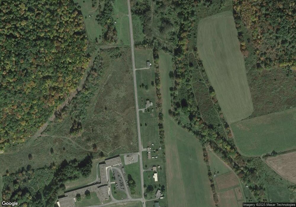
Map
Nearby Homes
- 172 N Fork Rd
- 1197 State Route 49
- 42 N Fork Rd
- 8 N Fork Rd
- 262 N Fork Rd
- 60 N Fork Rd
- 1157 State Route 49
- 1157 Route 49
- 1149 Route 49
- 1197 Route 49
- 1131 Route 49
- 1131 State Route 49
- 22 Harper Ln
- 78 Rumseys Rd
- 1216 Route 49
- 337 N Fork Rd
- 209 Harvey Ave
- 1196 Route 49
- 197 Harvey Ave
- 140 Bailey Bailey Rd