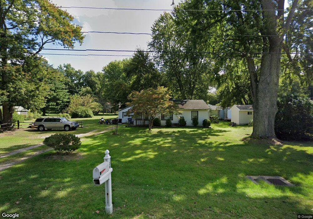
136 N Mccord Rd Toledo, OH 43615
Estimated Value: $133,000 - $171,297
2
Beds
1
Bath
1,218
Sq Ft
$128/Sq Ft
Est. Value
About This Home
This home is located at 136 N Mccord Rd, Toledo, OH 43615 and is currently estimated at $155,574, approximately $127 per square foot. 136 N Mccord Rd is a home located in Lucas County with nearby schools including Dorr Street Elementary School, Springfield Middle School, and Springfield High School.
Ownership History
Date
Name
Owned For
Owner Type
Purchase Details
Closed on
Oct 31, 2007
Sold by
Morrison Judith R and Reneger John D
Bought by
Morrison Judith R and Morrison Clarence
Current Estimated Value
Purchase Details
Closed on
Jun 30, 2004
Sold by
Reneger Clarence F and Reneger Ruth M
Bought by
Reneger Clarence F and Reneger Ruth M
Create a Home Valuation Report for This Property
The Home Valuation Report is an in-depth analysis detailing your home's value as well as a comparison with similar homes in the area
Home Values in the Area
Average Home Value in this Area
Purchase History
| Date | Buyer | Sale Price | Title Company |
|---|---|---|---|
| Morrison Judith R | -- | Attorney | |
| Reneger Clarence F | -- | Attorney |
Source: Public Records
Tax History Compared to Growth
Tax History
| Year | Tax Paid | Tax Assessment Tax Assessment Total Assessment is a certain percentage of the fair market value that is determined by local assessors to be the total taxable value of land and additions on the property. | Land | Improvement |
|---|---|---|---|---|
| 2024 | $1,380 | $54,950 | $19,495 | $35,455 |
| 2023 | $2,020 | $37,835 | $16,940 | $20,895 |
| 2022 | $2,044 | $37,835 | $16,940 | $20,895 |
| 2021 | $1,923 | $37,835 | $16,940 | $20,895 |
| 2020 | $1,809 | $33,530 | $16,030 | $17,500 |
| 2019 | $1,767 | $33,530 | $16,030 | $17,500 |
| 2018 | $1,794 | $33,530 | $16,030 | $17,500 |
| 2017 | $1,834 | $32,795 | $15,680 | $17,115 |
| 2016 | $1,850 | $93,700 | $44,800 | $48,900 |
| 2015 | $1,847 | $93,700 | $44,800 | $48,900 |
| 2014 | $1,599 | $31,540 | $15,090 | $16,450 |
| 2013 | $1,599 | $31,540 | $15,090 | $16,450 |
Source: Public Records
Map
Nearby Homes
- 127 N Dorcas Rd
- 6607 Hill Ave
- 217 Pebble Beach Dr
- 6324 Bapst Ave
- 6339 Hill Ave
- 342 S Harefoote St
- 342 Roseanna Dr
- 7109 Springfield Hills Dr S
- 112 Deerfield Dr
- 6106 Hill Ave
- 312 Hayes Rd
- 1128 Plum Grove Ln
- 1032 Saturn Dr
- 7255 Apache Trail
- 1053 Plum Grove Ln
- 705 Diana Dr
- 419 N Holland Sylvania Rd
- 640 Quigley St
- 6066 White Oak Dr
- 1714 Deer Trail Dr
- 6752 Hancock Ave
- 128 N Mccord Rd
- 202 N Mccord Rd
- 118 N Mccord Rd
- 148 N Dorcas Rd
- 210 N Mccord Rd
- 201 N Dorcas Rd
- 111 N Mccord Rd
- 105 N Mccord Rd
- 215 N Dorcas Rd
- 113 N Dorcas Rd
- 101 N Mccord Rd
- 101 N Dorcas Rd
- 111 N Dorcas Rd
- 225 N Dorcas Rd
- 151 N Mccord Rd
- 128 N Dorcas Rd
- 206 N Dorcas Rd
- 35 N Mccord Rd
- 118 N Dorcas Rd