136 Norris Dr Moultrie, GA 31768
Estimated Value: $356,571 - $419,000
Studio
--
Bath
2,290
Sq Ft
$167/Sq Ft
Est. Value
About This Home
This home is located at 136 Norris Dr, Moultrie, GA 31768 and is currently estimated at $382,893, approximately $167 per square foot. 136 Norris Dr is a home with nearby schools including Doerun Elementary School, C.A. Gray Junior High School, and Willie J. Williams Middle School.
Ownership History
Date
Name
Owned For
Owner Type
Purchase Details
Closed on
Apr 30, 2012
Sold by
Beasley Ronald L
Bought by
Willis Michelle R
Current Estimated Value
Purchase Details
Closed on
Feb 26, 2004
Sold by
Mccorvey Randy
Bought by
Beasley Ronald L
Purchase Details
Closed on
Nov 15, 2002
Sold by
Bishop Ronald
Bought by
Mccorvey Randy
Purchase Details
Closed on
Feb 22, 2000
Bought by
Bishop Ronald
Create a Home Valuation Report for This Property
The Home Valuation Report is an in-depth analysis detailing your home's value as well as a comparison with similar homes in the area
Purchase History
| Date | Buyer | Sale Price | Title Company |
|---|---|---|---|
| Willis Michelle R | $15,000 | -- | |
| Beasley Ronald L | $14,900 | -- | |
| Mccorvey Randy | $149,500 | -- | |
| Bishop Ronald | -- | -- |
Source: Public Records
Tax History
| Year | Tax Paid | Tax Assessment Tax Assessment Total Assessment is a certain percentage of the fair market value that is determined by local assessors to be the total taxable value of land and additions on the property. | Land | Improvement |
|---|---|---|---|---|
| 2025 | $2,520 | $131,852 | $10,000 | $121,852 |
| 2024 | $2,520 | $135,546 | $10,000 | $125,546 |
| 2023 | $2,816 | $122,022 | $10,000 | $112,022 |
| 2022 | $2,031 | $87,281 | $10,000 | $77,281 |
| 2021 | $1,845 | $77,990 | $10,000 | $67,990 |
| 2020 | $1,878 | $77,990 | $10,000 | $67,990 |
| 2019 | $2,022 | $75,570 | $10,000 | $65,570 |
| 2018 | $1,933 | $75,570 | $10,000 | $65,570 |
| 2017 | $1,943 | $73,377 | $10,000 | $63,377 |
| 2016 | $1,917 | $71,520 | $8,000 | $63,520 |
| 2015 | $1,935 | $71,520 | $8,000 | $63,520 |
| 2014 | $1,865 | $70,300 | $8,000 | $62,300 |
| 2013 | -- | $51,940 | $8,000 | $43,940 |
Source: Public Records
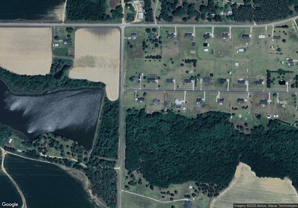
Map
Nearby Homes
- 512 Hagin Still Rd
- 827 Bonnie Tuk Rd
- Sardis Schley Church Rd
- 1485 Bay Rd
- 00 Rossman Dairy Rd
- 372 Westwoods Dr Unit 21
- LOT 29 Merganser Ln
- LOT 32 Merganser Ln
- LOT 28 Merganser Ln
- LOT 26 Merganser Ln
- LOT 30 Merganser Ln
- 1440 Faison Rd
- Lot 45 Fox Trot Dr
- LOT 52 Fox Trot Dr
- LOT 58 Fox Trot Dr
- LOT 56 Fox Trot Dr
- LOT 54 Fox Trot Dr
- 0 Fox Trot Dr
- LOT 53 Fox Trot Dr
- LOT 55 Fox Trot Dr
- 112 Norris Dr
- 172 Norris Dr
- 109 Norris Dr
- 131 Norris Dr
- 192 Norris Dr
- 151 Norris Dr
- 171 Norris Dr
- 187 Norris Dr
- 200 Norris Dr
- 785 Sam Sells Rd
- 773 Sam Sells Rd
- 731 Sam Sells Rd
- 201 Norris Dr
- 789 Sam Sells Rd
- 232 Norris Dr
- 703 Sam Sells Rd
- 723 Sam Sells Rd
- 231 Norris Dr
- 118 Whitfield Rd
- 1393 Tucker Rd
Your Personal Tour Guide
Ask me questions while you tour the home.