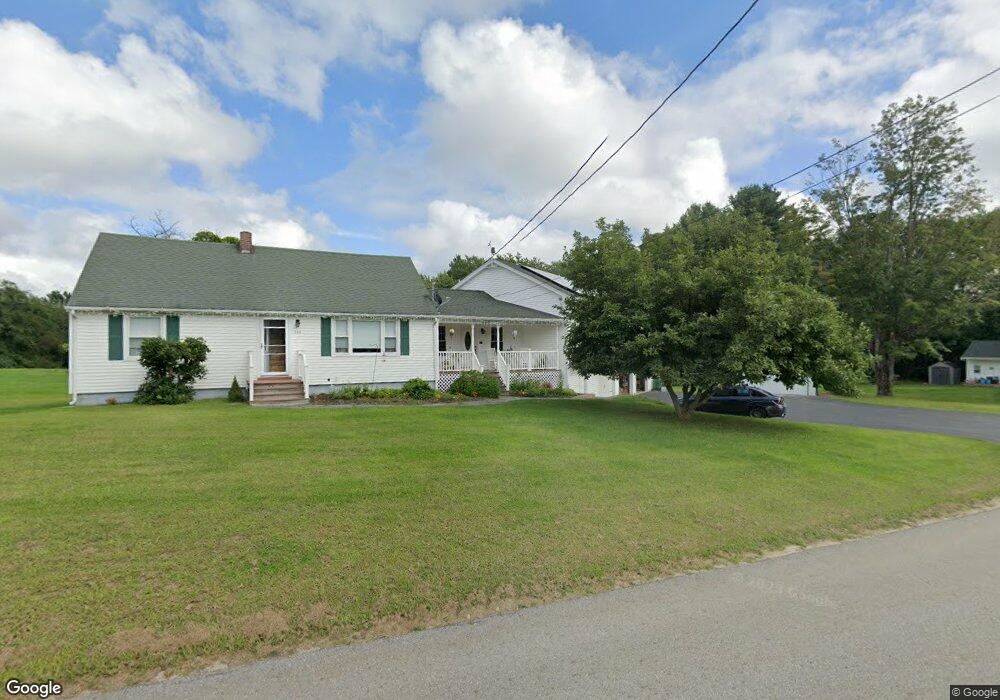
136 Northside Rd Charlton, MA 01507
Estimated Value: $657,280 - $827,000
4
Beds
4
Baths
3,380
Sq Ft
$219/Sq Ft
Est. Value
About This Home
This home is located at 136 Northside Rd, Charlton, MA 01507 and is currently estimated at $741,820, approximately $219 per square foot. 136 Northside Rd is a home located in Worcester County with nearby schools including Shepherd Hill Regional High School.
Ownership History
Date
Name
Owned For
Owner Type
Purchase Details
Closed on
Dec 16, 2014
Sold by
Colby Carolyn J and Diliddo Frank D
Bought by
Diliddo Frank D and Diliddo Kelly A
Current Estimated Value
Home Financials for this Owner
Home Financials are based on the most recent Mortgage that was taken out on this home.
Original Mortgage
$365,000
Outstanding Balance
$278,584
Interest Rate
3.98%
Mortgage Type
VA
Estimated Equity
$463,236
Purchase Details
Closed on
Feb 28, 2014
Sold by
Colby Carolyn J
Bought by
Colby Carolyn J and Diliddo Frank D
Create a Home Valuation Report for This Property
The Home Valuation Report is an in-depth analysis detailing your home's value as well as a comparison with similar homes in the area
Home Values in the Area
Average Home Value in this Area
Purchase History
| Date | Buyer | Sale Price | Title Company |
|---|---|---|---|
| Diliddo Frank D | -- | -- | |
| Diliddo Frank D | -- | -- | |
| Diliddo Frank D | -- | -- | |
| Colby Carolyn J | -- | -- | |
| Colby Carolyn J | -- | -- |
Source: Public Records
Mortgage History
| Date | Status | Borrower | Loan Amount |
|---|---|---|---|
| Open | Diliddo Frank D | $365,000 | |
| Closed | Colby Carolyn J | $365,000 |
Source: Public Records
Tax History Compared to Growth
Tax History
| Year | Tax Paid | Tax Assessment Tax Assessment Total Assessment is a certain percentage of the fair market value that is determined by local assessors to be the total taxable value of land and additions on the property. | Land | Improvement |
|---|---|---|---|---|
| 2025 | $6,332 | $568,900 | $99,000 | $469,900 |
| 2024 | $6,103 | $538,200 | $98,600 | $439,600 |
| 2023 | $5,806 | $477,100 | $93,000 | $384,100 |
| 2022 | $5,404 | $406,600 | $84,400 | $322,200 |
| 2021 | $5,320 | $354,400 | $80,200 | $274,200 |
| 2020 | $5,114 | $342,300 | $77,200 | $265,100 |
| 2019 | $5,056 | $342,300 | $77,200 | $265,100 |
| 2018 | $4,621 | $342,300 | $77,200 | $265,100 |
| 2017 | $4,128 | $292,800 | $71,200 | $221,600 |
| 2016 | $2,489 | $180,600 | $71,200 | $109,400 |
| 2015 | $2,424 | $180,600 | $71,200 | $109,400 |
| 2014 | $2,274 | $179,600 | $73,800 | $105,800 |
Source: Public Records
Map
Nearby Homes
- 40 Carroll Hill Rd
- 105 Carroll Hill Rd
- 7 Hycrest Rd
- 0 Hammond Hill Rd
- 8 Hycrest Rd
- 8 Northside Rd
- 25 N Main St Unit A
- 13 Boucher Dr
- 102 Worcester Rd
- 50 Old Spencer Rd
- 44 Hycrest Rd
- 7 L Stevens Rd Unit A
- 7 L Stevens Rd Unit B
- 65 Old Spencer Rd
- 0 Oxbow Rd
- Lot 3 Smith Rd
- Lot 5 Smith Rd
- Lot 4 Smith Rd
- 34 Worcester Rd
- 5 Glen Echo Shore Rd
- 139 Northside Rd
- 144 Northside Rd
- 0 Northside Rd
- 79 Northside Rd
- 150 Northside Rd
- 149 Northside Rd
- 250 Stafford St
- 250 Stafford St
- 268 Stafford St
- 264 Stafford St
- 113 Northside Rd
- 120 Northside Rd
- 114 Northside Rd
- 250
- 266 Stafford St
- 251 Stafford St
- 270 Stafford St
- 238 Stafford St
- 245 Stafford St
- 234 Stafford St