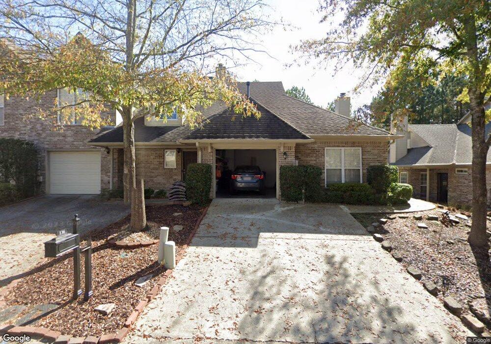
136 Reach Way Birmingham, AL 35242
Estimated Value: $267,159 - $298,000
3
Beds
3
Baths
1,550
Sq Ft
$182/Sq Ft
Est. Value
About This Home
This home is located at 136 Reach Way, Birmingham, AL 35242 and is currently estimated at $282,290, approximately $182 per square foot. 136 Reach Way is a home located in Shelby County with nearby schools including Mt. Laurel Elementary School, Chelsea Middle School, and Chelsea High School.
Ownership History
Date
Name
Owned For
Owner Type
Purchase Details
Closed on
Apr 19, 2007
Sold by
Federal Home Loan Mortgage Corporation
Bought by
Powell Tara L
Current Estimated Value
Purchase Details
Closed on
Nov 14, 2006
Sold by
Powell Tara L
Bought by
Federal Home Loan Mortgage Corporation
Purchase Details
Closed on
May 16, 2002
Sold by
Greystone Lands Inc
Bought by
Eady Jeffrey
Home Financials for this Owner
Home Financials are based on the most recent Mortgage that was taken out on this home.
Original Mortgage
$118,300
Interest Rate
7.12%
Create a Home Valuation Report for This Property
The Home Valuation Report is an in-depth analysis detailing your home's value as well as a comparison with similar homes in the area
Home Values in the Area
Average Home Value in this Area
Purchase History
| Date | Buyer | Sale Price | Title Company |
|---|---|---|---|
| Powell Tara L | $125,947 | None Available | |
| Federal Home Loan Mortgage Corporation | $118,657 | None Available | |
| Eady Jeffrey | $147,900 | -- |
Source: Public Records
Mortgage History
| Date | Status | Borrower | Loan Amount |
|---|---|---|---|
| Previous Owner | Eady Jeffrey | $118,300 | |
| Closed | Eady Jeffrey | $22,200 |
Source: Public Records
Tax History Compared to Growth
Tax History
| Year | Tax Paid | Tax Assessment Tax Assessment Total Assessment is a certain percentage of the fair market value that is determined by local assessors to be the total taxable value of land and additions on the property. | Land | Improvement |
|---|---|---|---|---|
| 2024 | $1,057 | $24,020 | $0 | $0 |
| 2023 | $852 | $20,300 | $0 | $0 |
| 2022 | $828 | $19,760 | $0 | $0 |
| 2021 | $728 | $17,480 | $0 | $0 |
| 2020 | $652 | $15,740 | $0 | $0 |
| 2019 | $623 | $15,100 | $0 | $0 |
| 2017 | $576 | $14,020 | $0 | $0 |
| 2015 | $564 | $13,760 | $0 | $0 |
| 2014 | $551 | $13,460 | $0 | $0 |
Source: Public Records
Map
Nearby Homes
- 143 Reach Way
- 229 Reach Way
- 205 Narrows Reach
- 455 Reach Dr
- 799 Reach Crest
- 3650 Brasher Ln Unit 1
- 313 Narrows Pkwy
- 645 Narrows Point Way
- Loch Plan at Melrose Landing
- Magnolia Plan at Melrose Landing
- Woodley Plan at Melrose Landing
- Valley Plan at Melrose Landing
- Coleman Plan at Melrose Landing
- Belle Plan at Melrose Landing
- Martin Plan at Melrose Landing
- Bragg Plan at Melrose Landing
- Stockmore Plan at Melrose Landing
- 105 Atlantic Ln
- 237 Sawmill Loop
- 217 Sawmill Loop