136 SE Tide Ave Lincoln City, OR 97367
Estimated Value: $96,000 - $326,543
--
Bed
--
Bath
422
Sq Ft
$590/Sq Ft
Est. Value
About This Home
This home is located at 136 SE Tide Ave, Lincoln City, OR 97367 and is currently estimated at $248,886, approximately $589 per square foot. 136 SE Tide Ave is a home located in Lincoln County with nearby schools including Oceanlake Elementary School, Taft Elementary School, and Taft High School.
Ownership History
Date
Name
Owned For
Owner Type
Purchase Details
Closed on
Nov 17, 2014
Sold by
Lee Forrest D
Bought by
Roshak Joint Trust and Roshak Susan M
Current Estimated Value
Purchase Details
Closed on
Aug 6, 2006
Sold by
Krumbah Kirby Jay
Bought by
Lee Forrest D and Forrest D Lee Trust
Home Financials for this Owner
Home Financials are based on the most recent Mortgage that was taken out on this home.
Original Mortgage
$96,000
Interest Rate
6.56%
Mortgage Type
Unknown
Create a Home Valuation Report for This Property
The Home Valuation Report is an in-depth analysis detailing your home's value as well as a comparison with similar homes in the area
Home Values in the Area
Average Home Value in this Area
Purchase History
| Date | Buyer | Sale Price | Title Company |
|---|---|---|---|
| Roshak Joint Trust | $100,000 | Western Title & Escrow | |
| Lee Forrest D | $125,000 | Wte |
Source: Public Records
Mortgage History
| Date | Status | Borrower | Loan Amount |
|---|---|---|---|
| Previous Owner | Lee Forrest D | $96,000 |
Source: Public Records
Tax History Compared to Growth
Tax History
| Year | Tax Paid | Tax Assessment Tax Assessment Total Assessment is a certain percentage of the fair market value that is determined by local assessors to be the total taxable value of land and additions on the property. | Land | Improvement |
|---|---|---|---|---|
| 2024 | $1,658 | $96,540 | $96,540 | -- |
| 2023 | $1,612 | $93,730 | $0 | $0 |
| 2022 | $1,567 | $91,000 | $0 | $0 |
| 2021 | $1,493 | $88,350 | $0 | $0 |
| 2020 | $1,459 | $85,780 | $0 | $0 |
| 2019 | $1,409 | $83,290 | $0 | $0 |
| 2018 | $1,377 | $80,870 | $0 | $0 |
| 2017 | $1,318 | $78,520 | $0 | $0 |
| 2016 | $996 | $62,270 | $0 | $0 |
| 2015 | $931 | $57,840 | $0 | $0 |
| 2014 | $1,537 | $93,740 | $0 | $0 |
| 2013 | -- | $91,010 | $0 | $0 |
Source: Public Records
Map
Nearby Homes
- 210 SE Surf Ave
- 203 SE Surf Ave
- 380 SE Quay Ave
- 313 SE Oar Ave
- 302 SE Neptune Ave
- 333 SE Oar Ave
- 520 SE Quay Ave
- 541 SE Oar Ave
- TL1508 + NE East Devils Lake Rd
- 720 SE Quay Ave
- 2016 SE 8th St
- 2036 NE Lagoon Ln
- 1343 SE 2nd Ct
- 305 SE Jetty Ave Unit B
- 305 SE Jetty Ave Unit A
- 305 SE Jetty Ave
- 331 SE Jetty Ave
- 1198 NE Lakewood
- 1268 NE Harbor Ridge
- 1255 NE Lakewood
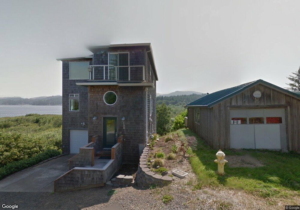
- 124 SE Tide Ave
- 200 SE Tide Ave
- 2 Tide (Blk) Ave
- 139 SE Tide Ave
- 183 SE Tide Ave
- 201 SE Tide Ave
- 140 SE Surf Ave
- 160 SE Surf Ave
- 215 SE Tide Ave
- 3600 Surf Ave NE
- 1109 Surf (T L) NE
- 1100 Surf (T L) NE
- 216 SE Surf Ave
- 230 SE Tide Ave
- 218 SE Surf Ave
- 250 SE Tide Ave
- 223 SE Tide Ave
- t/l 22200 SE Tide Ave
- TL10600 SE Tide Ave
- lot 10 SE Tide Ave