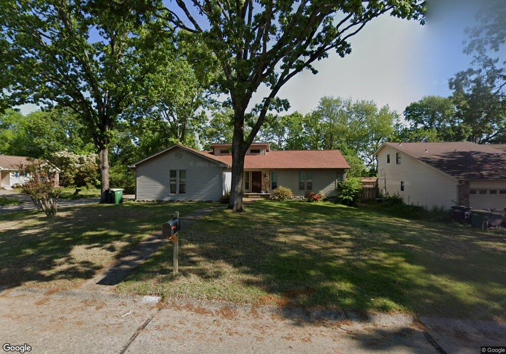
136 Tiffany Cir Sherwood, AR 72120
Estimated Value: $187,000 - $208,000
--
Bed
2
Baths
1,407
Sq Ft
$140/Sq Ft
Est. Value
About This Home
This home is located at 136 Tiffany Cir, Sherwood, AR 72120 and is currently estimated at $196,549, approximately $139 per square foot. 136 Tiffany Cir is a home located in Pulaski County with nearby schools including Sylvan Hills Elementary School, Sylvan Hills Middle School, and Sylvan Hills High School.
Ownership History
Date
Name
Owned For
Owner Type
Purchase Details
Closed on
Jun 15, 2007
Sold by
Pyle Lance W
Bought by
Kennedy Michael R
Current Estimated Value
Home Financials for this Owner
Home Financials are based on the most recent Mortgage that was taken out on this home.
Original Mortgage
$129,730
Outstanding Balance
$79,252
Interest Rate
6.16%
Mortgage Type
VA
Estimated Equity
$117,297
Purchase Details
Closed on
Aug 22, 2000
Sold by
Grisham Cynthia Renee Mcelhanon and Grisham Charles D
Bought by
Pyle Lance W
Home Financials for this Owner
Home Financials are based on the most recent Mortgage that was taken out on this home.
Original Mortgage
$94,050
Interest Rate
8.15%
Create a Home Valuation Report for This Property
The Home Valuation Report is an in-depth analysis detailing your home's value as well as a comparison with similar homes in the area
Home Values in the Area
Average Home Value in this Area
Purchase History
| Date | Buyer | Sale Price | Title Company |
|---|---|---|---|
| Kennedy Michael R | $127,000 | None Available | |
| Pyle Lance W | $99,000 | -- |
Source: Public Records
Mortgage History
| Date | Status | Borrower | Loan Amount |
|---|---|---|---|
| Open | Kennedy Michael R | $129,730 | |
| Previous Owner | Pyle Lance W | $94,050 |
Source: Public Records
Tax History Compared to Growth
Tax History
| Year | Tax Paid | Tax Assessment Tax Assessment Total Assessment is a certain percentage of the fair market value that is determined by local assessors to be the total taxable value of land and additions on the property. | Land | Improvement |
|---|---|---|---|---|
| 2025 | $1,768 | $33,939 | $6,200 | $27,739 |
| 2024 | $1,668 | $33,939 | $6,200 | $27,739 |
| 2023 | $1,668 | $33,939 | $6,200 | $27,739 |
| 2022 | $1,703 | $33,939 | $6,200 | $27,739 |
| 2021 | $1,522 | $26,680 | $4,800 | $21,880 |
| 2020 | $125 | $26,680 | $4,800 | $21,880 |
| 2019 | $125 | $26,680 | $4,800 | $21,880 |
| 2018 | $125 | $26,680 | $4,800 | $21,880 |
| 2017 | $115 | $26,680 | $4,800 | $21,880 |
| 2016 | $115 | $26,160 | $5,600 | $20,560 |
| 2015 | $1,329 | $26,160 | $5,600 | $20,560 |
| 2014 | $1,329 | $26,160 | $5,600 | $20,560 |
Source: Public Records
Map
Nearby Homes
- 00 Highway 107
- 104 Mayfair Cove
- 00 E Kiehl Ave
- 208 E Kiehl Ave Unit out parcel
- 8222 Mark Ave
- 3073 Woodruff Creek Dr
- 8109 Oak Ridge Rd
- 135 W Lee Ave
- 2410 Crown Ct
- 59 Wesley Dr
- 222 Gragson Ave
- 4690 Hollyridge Cove
- 8100 Coleridge Dr
- 7909 Coleridge Dr
- 125 Almond Cove
- 7901 Coleridge Dr
- 9125 Woodbine St
- 616 E Woodruff Ave
- 2100 Covington Dr
- 9318 Woodbine Sttreet
- 134 Tiffany Cir
- 132 Tiffany Cir
- 221 Katye Ln
- 219 Katye Ln
- 214 Katye Ln
- 217 Katye Ln
- 117 Tiffany Cir
- 130 Tiffany Cir
- 215 Katye Ln
- 212 Katye Ln
- 128 Chiliwood Ln Unit A & B
- 128 Chiliwood Ln Unit A
- 115 Tiffany Cir
- 213 Katye Ln
- 128 Tiffany Cir
- 126 Chiliwood Ln
- 210 Katye Ln
- 130 Chiliwood Ln
- 113 Tiffany Cir
- 124 Chiliwood Ln