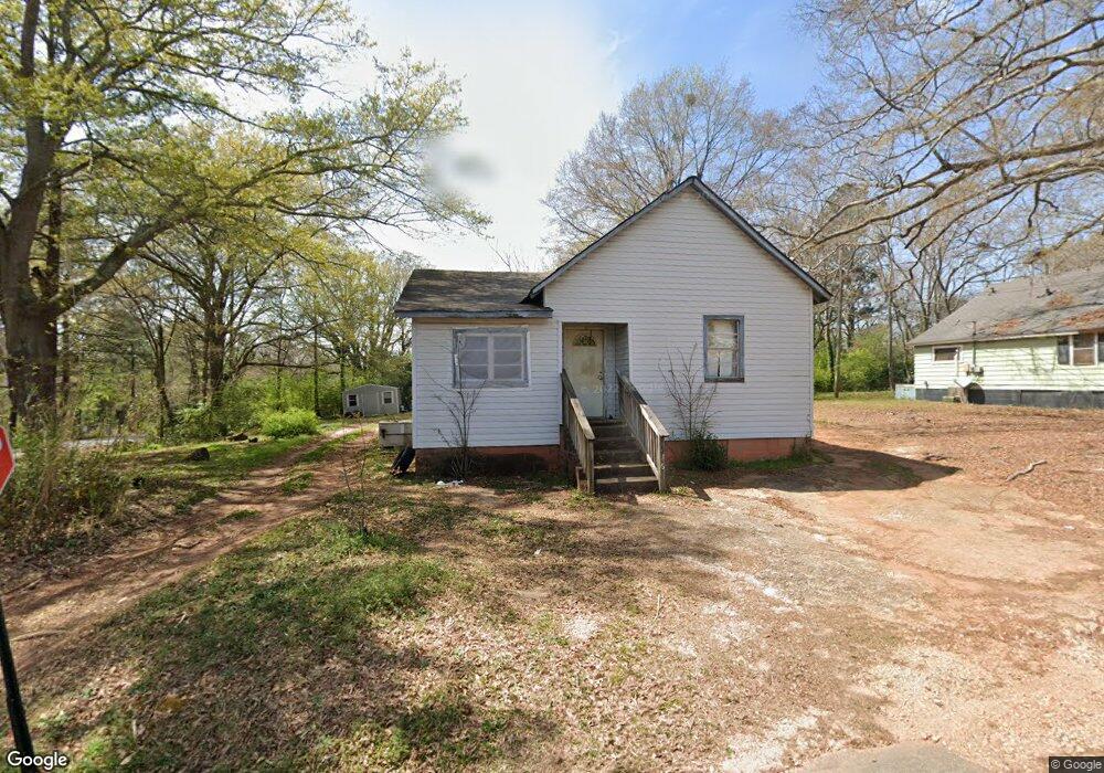
136 Timothy St Lagrange, GA 30240
Estimated Value: $64,000 - $94,253
3
Beds
1
Bath
1,478
Sq Ft
$51/Sq Ft
Est. Value
About This Home
This home is located at 136 Timothy St, Lagrange, GA 30240 and is currently estimated at $75,313, approximately $50 per square foot. 136 Timothy St is a home located in Troup County with nearby schools including Ethel W. Kight Elementary School, Hollis Hand Elementary School, and Franklin Forest Elementary School.
Ownership History
Date
Name
Owned For
Owner Type
Purchase Details
Closed on
Jan 9, 2003
Sold by
Atcherson Joe I
Bought by
Boyd John B
Current Estimated Value
Purchase Details
Closed on
Jun 13, 2002
Sold by
Linda Ann Boyd
Bought by
Atcherson Joe I
Purchase Details
Closed on
May 15, 2002
Sold by
Manufacutrers & Traders Co
Bought by
Linda Ann Boyd
Purchase Details
Closed on
Feb 24, 1993
Sold by
Boyd John Kenneth Sandra
Bought by
Manufacutrers & Traders Co
Purchase Details
Closed on
Jan 1, 1951
Sold by
C C Fdn
Bought by
Boyd John Kenneth Sandra
Create a Home Valuation Report for This Property
The Home Valuation Report is an in-depth analysis detailing your home's value as well as a comparison with similar homes in the area
Purchase History
| Date | Buyer | Sale Price | Title Company |
|---|---|---|---|
| Boyd John B | $18,300 | -- | |
| Atcherson Joe I | $17,000 | -- | |
| Linda Ann Boyd | $16,900 | -- | |
| Manufacutrers & Traders Co | -- | -- | |
| Boyd John Kenneth Sandra | -- | -- |
Source: Public Records
Tax History
| Year | Tax Paid | Tax Assessment Tax Assessment Total Assessment is a certain percentage of the fair market value that is determined by local assessors to be the total taxable value of land and additions on the property. | Land | Improvement |
|---|---|---|---|---|
| 2025 | $871 | $31,920 | $2,840 | $29,080 |
| 2024 | $635 | $23,280 | $2,840 | $20,440 |
| 2023 | $589 | $21,600 | $2,840 | $18,760 |
| 2022 | $567 | $20,320 | $2,840 | $17,480 |
| 2021 | $577 | $19,120 | $2,840 | $16,280 |
| 2020 | $577 | $19,120 | $2,840 | $16,280 |
| 2019 | $524 | $17,360 | $2,840 | $14,520 |
| 2018 | $522 | $17,310 | $2,790 | $14,520 |
| 2017 | $522 | $17,310 | $2,790 | $14,520 |
| 2016 | $508 | $16,835 | $2,790 | $14,045 |
| 2015 | $303 | $10,036 | $2,872 | $7,164 |
| 2014 | $304 | $10,036 | $2,872 | $7,164 |
| 2013 | -- | $10,036 | $2,872 | $7,164 |
Source: Public Records
Map
Nearby Homes
- 205 Grady St
- 101 Crown St Unit LOT 5
- 102 Crown St Unit LOT 1
- 109 Garfield St
- 1308 Forrest Ave
- 610 Wilburn Ave
- 608 Wilburn Ave
- 202 Parker Ln
- 1304 Forrest Ave
- 1405 Forrest Ave
- 1402 Forrest Ave
- 1808 Murphy Ave
- 900 B N Pkwy
- 517 Jefferson St
- 107 Clark St
- 507 S Lee St
- 1308 Park Ave
- 503 S Lee St
- 211 Moores Hill
- 0 Moores Hill
Your Personal Tour Guide
Ask me questions while you tour the home.