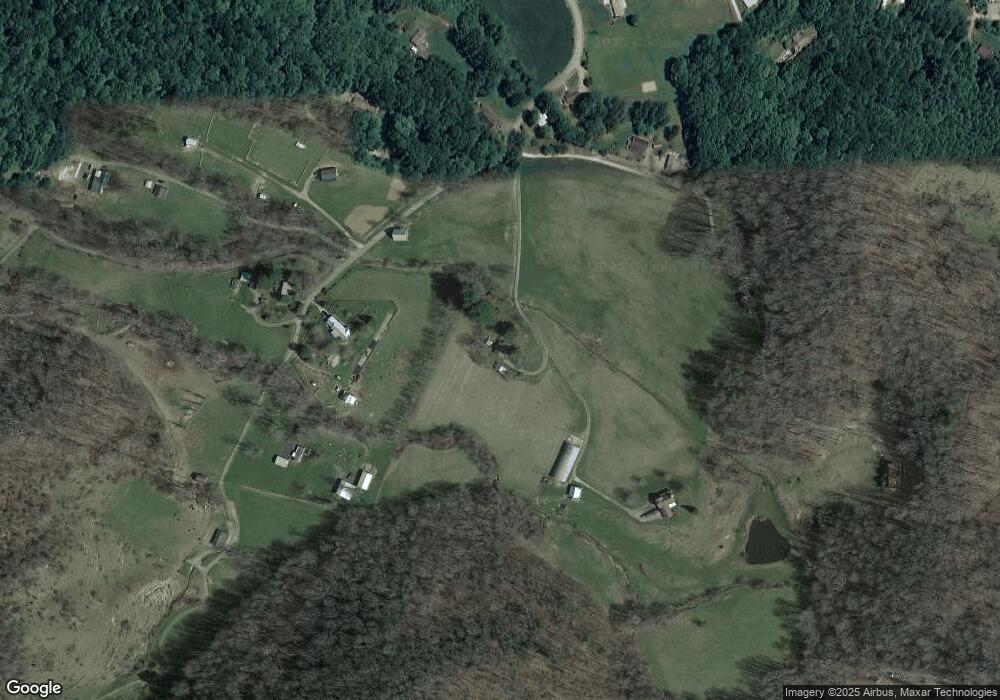
136 Twin Branch Ln Canton, NC 28716
Estimated Value: $295,636 - $319,000
2
Beds
1
Bath
1,098
Sq Ft
$281/Sq Ft
Est. Value
About This Home
This home is located at 136 Twin Branch Ln, Canton, NC 28716 and is currently estimated at $308,879, approximately $281 per square foot. 136 Twin Branch Ln is a home located in Haywood County with nearby schools including North Canton Elementary School, Canton Middle, and Pisgah High School.
Ownership History
Date
Name
Owned For
Owner Type
Purchase Details
Closed on
May 22, 2024
Sold by
Gillis Robyn Rice and Gillis Paul D
Bought by
Gillis Family Trust and Gillis
Current Estimated Value
Purchase Details
Closed on
Aug 9, 2006
Sold by
Adams Kim R
Bought by
Oakley Suzanne R and Oakley John
Create a Home Valuation Report for This Property
The Home Valuation Report is an in-depth analysis detailing your home's value as well as a comparison with similar homes in the area
Home Values in the Area
Average Home Value in this Area
Purchase History
| Date | Buyer | Sale Price | Title Company |
|---|---|---|---|
| Gillis Family Trust | -- | None Listed On Document | |
| Gillis Family Trust | -- | None Listed On Document | |
| Oakley Suzanne R | -- | None Available |
Source: Public Records
Tax History Compared to Growth
Tax History
| Year | Tax Paid | Tax Assessment Tax Assessment Total Assessment is a certain percentage of the fair market value that is determined by local assessors to be the total taxable value of land and additions on the property. | Land | Improvement |
|---|---|---|---|---|
| 2025 | -- | $181,800 | $64,900 | $116,900 |
| 2024 | $1,286 | $181,800 | $64,900 | $116,900 |
| 2023 | $1,286 | $181,800 | $64,900 | $116,900 |
| 2022 | $1,259 | $181,800 | $64,900 | $116,900 |
| 2021 | $629 | $181,800 | $64,900 | $116,900 |
| 2020 | $1,244 | $165,600 | $64,900 | $100,700 |
| 2019 | $1,249 | $165,600 | $64,900 | $100,700 |
| 2018 | $1,249 | $165,600 | $64,900 | $100,700 |
| 2017 | $1,249 | $165,600 | $0 | $0 |
| 2016 | $1,153 | $155,400 | $0 | $0 |
| 2015 | $1,137 | $155,400 | $0 | $0 |
| 2014 | $1,026 | $155,400 | $0 | $0 |
Source: Public Records
Map
Nearby Homes
- 120 Simonds Ridge
- 14 Mann Farm Rd
- 00 Carver Cove Rd
- 00 Wilson Cove Rd
- 359 Vision Rd
- 1294 Beaverdam Rd
- 220 Mountain Spring Ln
- Lot 50 Winter Green Dr
- 204 Mountain Spring Ln
- 58 Mcclellan Dr
- 74 Buckeye Cove Rd
- 1060 N Canton Rd
- 603 Willis Cove Rd
- 607 Silkwood Dr
- 955 N Canton Rd
- 00 Seasons Dr
- 672 Porters Ridge
- 229 Crabtree Mountain Rd
- 1433 Crabtree Mountain Rd
- 60 Porters Ridge Unit 2
- 221 Twin Branch Ln
- 192 Twin Branch Ln
- 745 Rice Cove Rd
- 581 Rice Cove Rd
- 584 Rice Cove Rd
- 750 Rice Cove Rd
- 55 Hickory Ridge
- 91 Hickory Ridge
- 525 Rice Cove Rd
- 179 Hickory Ridge
- 642 Rice Cove Rd
- 51 Stony Pond Ln
- 580 Rice Cove Rd
- 491 Rice Cove Rd
- 706 Rice Cove Rd
- 924 Rice Cove Rd
- 443 Rice Cove Rd
- 310 Hickory Ridge
- 295 Rice Cove Rd
- 371 Rice Cove Rd
