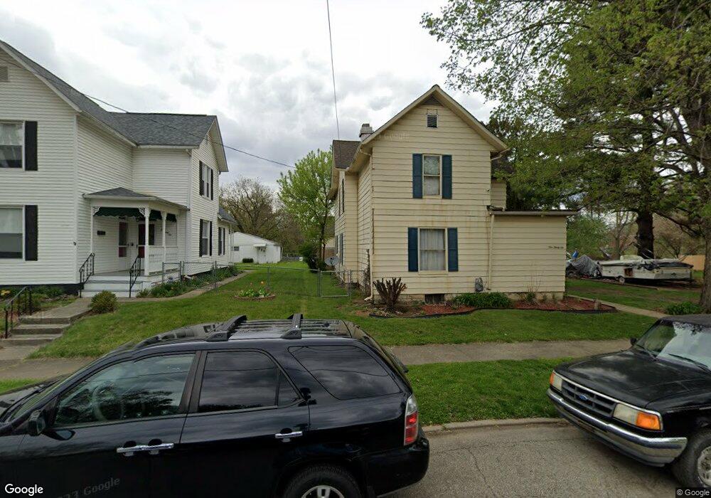
136 W Shields St Newark, OH 43055
Estimated Value: $231,000 - $286,000
4
Beds
2
Baths
1,800
Sq Ft
$142/Sq Ft
Est. Value
About This Home
This home is located at 136 W Shields St, Newark, OH 43055 and is currently estimated at $256,144, approximately $142 per square foot. 136 W Shields St is a home located in Licking County with nearby schools including John Clem Elementary School, Liberty Middle School, and Newark High School.
Ownership History
Date
Name
Owned For
Owner Type
Purchase Details
Closed on
Apr 10, 2012
Sold by
Lewis Amy C
Bought by
Lewis Jeffrey T
Current Estimated Value
Purchase Details
Closed on
Oct 18, 2005
Sold by
Bell Suzanne and Bell John
Bought by
Lewis Jeffrey T and Lewis Amy C
Home Financials for this Owner
Home Financials are based on the most recent Mortgage that was taken out on this home.
Original Mortgage
$106,331
Interest Rate
5.82%
Mortgage Type
FHA
Create a Home Valuation Report for This Property
The Home Valuation Report is an in-depth analysis detailing your home's value as well as a comparison with similar homes in the area
Home Values in the Area
Average Home Value in this Area
Purchase History
| Date | Buyer | Sale Price | Title Company |
|---|---|---|---|
| Lewis Jeffrey T | -- | None Available | |
| Lewis Jeffrey T | $108,000 | Ambassador Title |
Source: Public Records
Mortgage History
| Date | Status | Borrower | Loan Amount |
|---|---|---|---|
| Previous Owner | Lewis Jeffrey T | $106,331 |
Source: Public Records
Tax History
| Year | Tax Paid | Tax Assessment Tax Assessment Total Assessment is a certain percentage of the fair market value that is determined by local assessors to be the total taxable value of land and additions on the property. | Land | Improvement |
|---|---|---|---|---|
| 2024 | $2,098 | $58,590 | $7,770 | $50,820 |
| 2023 | $2,094 | $58,590 | $7,770 | $50,820 |
| 2022 | $1,694 | $42,150 | $4,380 | $37,770 |
| 2021 | $1,777 | $42,150 | $4,380 | $37,770 |
| 2020 | $1,818 | $42,150 | $4,380 | $37,770 |
| 2019 | $1,464 | $32,690 | $3,640 | $29,050 |
| 2018 | $1,465 | $0 | $0 | $0 |
| 2017 | $1,367 | $0 | $0 | $0 |
| 2016 | $1,302 | $0 | $0 | $0 |
| 2015 | $1,330 | $0 | $0 | $0 |
| 2014 | $1,702 | $0 | $0 | $0 |
| 2013 | $1,327 | $0 | $0 | $0 |
Source: Public Records
Map
Nearby Homes
- 122 W Shields St
- 441 Mount Vernon Rd
- 355 Eddy St
- 69 Wallace St
- 27 W North St
- 567 Kibler Ave
- 311 Clinton St
- 99 Hoover St
- 34 Charles St
- 242 Hudson Ave
- 236 N 10th St
- 12 E Saint Clair St
- 210 Buckingham St
- 218 Granville St
- 191 Elmwood Ave
- 655 Evans St
- 189 N Quentin Rd
- 185 N 10th St
- 54 E Stevens St
- 361 Granville St
- 146 W Shields St
- 148 W Shields St
- 415 Central Ave
- 126 W Shields St
- 150 W Shields St
- 391 Central Ave
- 421 Central Ave
- 152 W Shields St
- 387 Central Ave
- 118 W Shields St
- 425 Central Ave
- 154 W Shields St
- 390 Central Ave
- 420 Central Ave
- 408 Eddy St
- 116 W Shields St
- 149 W Shields St
- 412 Eddy St
- 431 Central Ave
- 431 Central Ave
Your Personal Tour Guide
Ask me questions while you tour the home.