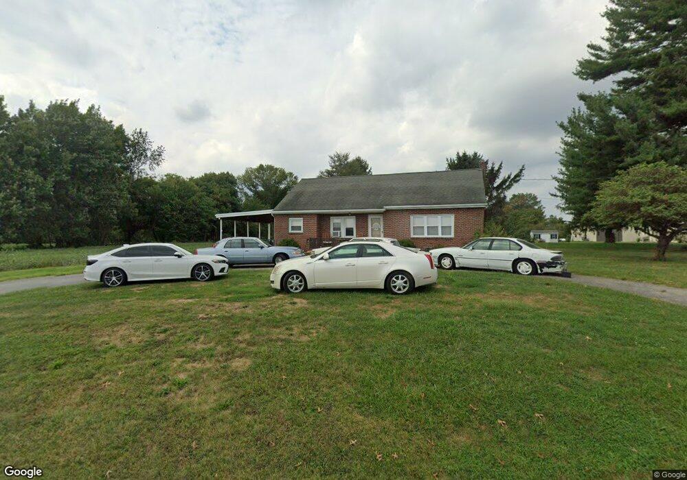
136 Weaver Rd Lancaster, PA 17603
Donerville NeighborhoodEstimated Value: $387,011 - $450,000
3
Beds
2
Baths
1,459
Sq Ft
$295/Sq Ft
Est. Value
About This Home
This home is located at 136 Weaver Rd, Lancaster, PA 17603 and is currently estimated at $430,503, approximately $295 per square foot. 136 Weaver Rd is a home located in Lancaster County with nearby schools including Central Manor Elementary School, Manor Middle School, and Penn Manor High School.
Ownership History
Date
Name
Owned For
Owner Type
Purchase Details
Closed on
Aug 18, 2000
Sold by
Cooper Randy S
Bought by
Cooper Randy S and Cooper Dorothy R
Current Estimated Value
Purchase Details
Closed on
May 27, 2000
Sold by
Sahm Kenneth C
Bought by
Cooper Randy S
Home Financials for this Owner
Home Financials are based on the most recent Mortgage that was taken out on this home.
Original Mortgage
$152,350
Interest Rate
8.14%
Create a Home Valuation Report for This Property
The Home Valuation Report is an in-depth analysis detailing your home's value as well as a comparison with similar homes in the area
Home Values in the Area
Average Home Value in this Area
Purchase History
| Date | Buyer | Sale Price | Title Company |
|---|---|---|---|
| Cooper Randy S | -- | -- | |
| Cooper Randy S | $169,300 | -- |
Source: Public Records
Mortgage History
| Date | Status | Borrower | Loan Amount |
|---|---|---|---|
| Closed | Cooper Randy S | $152,350 |
Source: Public Records
Tax History
| Year | Tax Paid | Tax Assessment Tax Assessment Total Assessment is a certain percentage of the fair market value that is determined by local assessors to be the total taxable value of land and additions on the property. | Land | Improvement |
|---|---|---|---|---|
| 2025 | $5,042 | $230,900 | $94,800 | $136,100 |
| 2024 | $5,042 | $230,900 | $94,800 | $136,100 |
| 2023 | $5,042 | $230,900 | $94,800 | $136,100 |
| 2022 | $4,947 | $230,900 | $94,800 | $136,100 |
| 2021 | $4,821 | $230,900 | $94,800 | $136,100 |
| 2020 | $4,821 | $230,900 | $94,800 | $136,100 |
| 2019 | $4,688 | $230,900 | $94,800 | $136,100 |
| 2018 | $5,533 | $230,900 | $94,800 | $136,100 |
| 2017 | $4,050 | $166,900 | $47,000 | $119,900 |
| 2016 | $4,050 | $166,900 | $47,000 | $119,900 |
| 2015 | $834 | $166,900 | $47,000 | $119,900 |
| 2014 | $2,820 | $166,900 | $47,000 | $119,900 |
Source: Public Records
Map
Nearby Homes
- 204 Post Oak Rd
- 2707 Kimberly Rd
- 526 White Chapel Rd
- 3059 Buckthorn Dr
- 825 Robin Rd
- 900 Cardinal Rd
- 16 Cedar Chase Dr
- 2457 Spring Water Cir
- 2808 Spring Valley Rd
- 1522 Manor Blvd
- 129 Townhouse Ln
- 2458 Spring Water Cir
- 2456 Spring Water Cir
- 323 Millersville Rd
- 26 E Main St
- 1038 Monticello Ln
- 266 Redwood Dr
- 1098 Monticello Ln
- 2336 Wood St
- 2842 Wimbledon Ln
- 124 Weaver Rd
- 118 Weaver Rd
- 123 Weaver Rd
- 117 Weaver Rd
- 106 Weaver Rd
- 3308 Columbia Ave
- 145 Weaver Rd
- 26 Weaver Rd
- 109 Bent Tree Dr
- 105 Bent Tree Dr
- 101 Post Oak Rd
- 3306 Columbia Ave
- 22 Weaver Rd
- 117 Bent Tree Dr
- 103 Post Oak Rd
- 18 Weaver Rd
- 3304 Columbia Ave
- 3314 Columbia Ave
- 125 Bent Tree Dr
- 3302 Columbia Ave
Your Personal Tour Guide
Ask me questions while you tour the home.