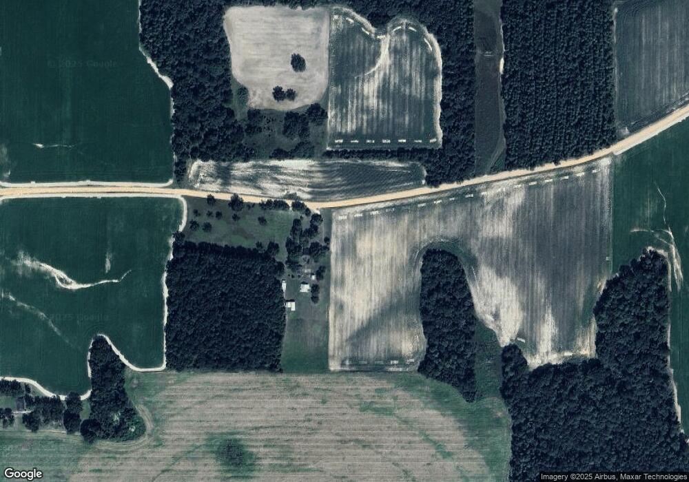
136 Wilson Rd Pineview, GA 31071
Estimated Value: $278,000 - $634,000
3
Beds
2
Baths
1,382
Sq Ft
$327/Sq Ft
Est. Value
About This Home
This home is located at 136 Wilson Rd, Pineview, GA 31071 and is currently estimated at $451,617, approximately $326 per square foot. 136 Wilson Rd is a home with nearby schools including Pulaski County Elementary School, Pulaski County Middle School, and Hawkinsville High School.
Ownership History
Date
Name
Owned For
Owner Type
Purchase Details
Closed on
Apr 26, 2005
Sold by
Deep Renita H
Bought by
Humphries Mitchell L and Humphries Denise C
Current Estimated Value
Home Financials for this Owner
Home Financials are based on the most recent Mortgage that was taken out on this home.
Original Mortgage
$269,394
Outstanding Balance
$141,725
Interest Rate
5.98%
Mortgage Type
New Conventional
Estimated Equity
$309,892
Purchase Details
Closed on
Oct 25, 2004
Sold by
Coleman Ronald R and Coleman Carole R
Bought by
Deep Renita H
Create a Home Valuation Report for This Property
The Home Valuation Report is an in-depth analysis detailing your home's value as well as a comparison with similar homes in the area
Home Values in the Area
Average Home Value in this Area
Purchase History
| Date | Buyer | Sale Price | Title Company |
|---|---|---|---|
| Humphries Mitchell L | $266,900 | -- | |
| Deep Renita H | $220,000 | -- |
Source: Public Records
Mortgage History
| Date | Status | Borrower | Loan Amount |
|---|---|---|---|
| Open | Humphries Mitchell L | $269,394 |
Source: Public Records
Tax History Compared to Growth
Tax History
| Year | Tax Paid | Tax Assessment Tax Assessment Total Assessment is a certain percentage of the fair market value that is determined by local assessors to be the total taxable value of land and additions on the property. | Land | Improvement |
|---|---|---|---|---|
| 2024 | $2,197 | $141,044 | $67,625 | $73,419 |
| 2023 | $2,197 | $76,212 | $26,457 | $49,755 |
| 2022 | $1,920 | $76,212 | $26,457 | $49,755 |
| 2021 | $1,909 | $76,212 | $26,457 | $49,755 |
| 2020 | $1,901 | $76,212 | $26,457 | $49,755 |
| 2019 | $1,884 | $76,212 | $26,457 | $49,755 |
| 2018 | $2,192 | $76,212 | $26,457 | $49,755 |
| 2017 | $2,192 | $76,212 | $26,457 | $49,755 |
| 2016 | $1,845 | $76,212 | $26,457 | $49,755 |
| 2015 | -- | $76,212 | $26,456 | $49,755 |
| 2014 | -- | $76,212 | $26,456 | $49,755 |
| 2013 | -- | $76,211 | $26,456 | $49,755 |
Source: Public Records
Map
Nearby Homes
- 540 Tippettville Rd
- 1312 Vienna Hwy
- 0 Watson Rd Unit LOTWP001
- 0 Watson Rd Unit LotWP001 22591913
- 0 Lindsey Rd
- 384 Royal Rd
- 1088 Tippettville Rd
- 1159 Pineview Hwy
- 0 Folds Rd Unit 22934248
- 0 Folds Rd Unit 11453576
- 00 Folds Rd
- 0 Folds Rd Unit 22934232
- 136 Pope Rd
- 2.78 ACRES Pineway Hwy
- 81 Peach Blossom Rd
- 4890 Calhoun Rd
- 1 Tippettville Rd
- 0 Benny Sharp Rd
- 595 Georgia 257
- 0 Margaret Ln Unit 250786
