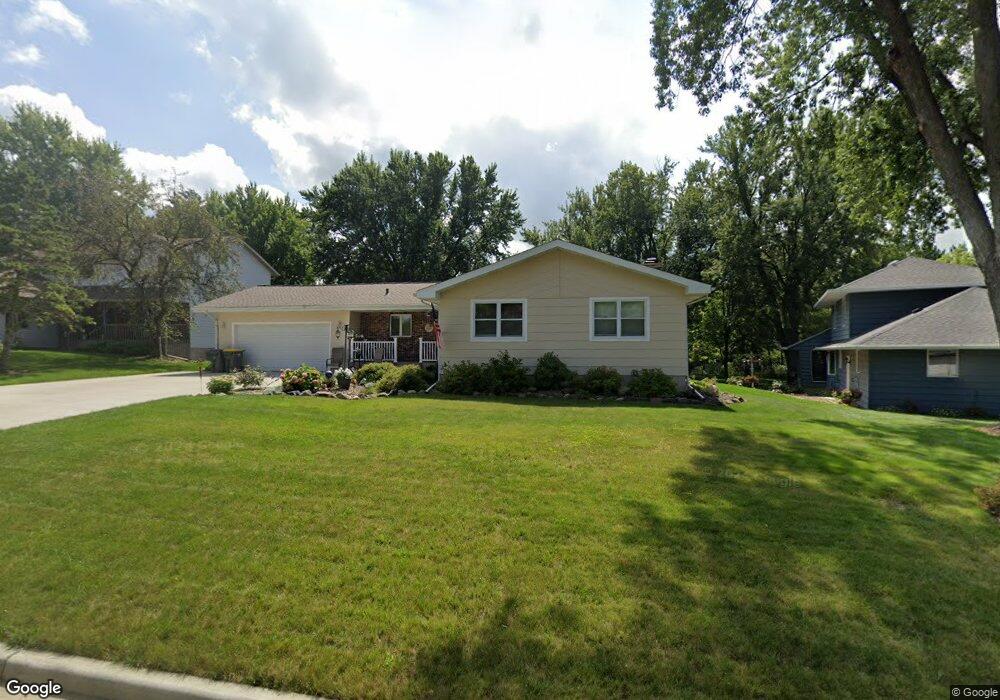
1360 Franklin St Baldwin, WI 54002
Estimated Value: $317,000 - $340,000
--
Bed
--
Bath
--
Sq Ft
0.41
Acres
About This Home
This home is located at 1360 Franklin St, Baldwin, WI 54002 and is currently estimated at $327,332. 1360 Franklin St is a home located in St. Croix County with nearby schools including Greenfield Elementary School, Viking Middle School, and Baldwin-Woodville High School.
Ownership History
Date
Name
Owned For
Owner Type
Purchase Details
Closed on
May 27, 2005
Sold by
Heebink Christopher B and Heebink Jennifer K
Bought by
Lindquist David E and Lindquist Kimberly K
Current Estimated Value
Create a Home Valuation Report for This Property
The Home Valuation Report is an in-depth analysis detailing your home's value as well as a comparison with similar homes in the area
Home Values in the Area
Average Home Value in this Area
Purchase History
| Date | Buyer | Sale Price | Title Company |
|---|---|---|---|
| Lindquist David E | $170,000 | None Available |
Source: Public Records
Tax History Compared to Growth
Tax History
| Year | Tax Paid | Tax Assessment Tax Assessment Total Assessment is a certain percentage of the fair market value that is determined by local assessors to be the total taxable value of land and additions on the property. | Land | Improvement |
|---|---|---|---|---|
| 2024 | $44 | $238,100 | $38,800 | $199,300 |
| 2023 | $4,115 | $238,100 | $38,800 | $199,300 |
| 2022 | $3,649 | $238,100 | $38,800 | $199,300 |
| 2021 | $3,720 | $238,100 | $38,800 | $199,300 |
| 2020 | $3,594 | $168,800 | $29,100 | $139,700 |
| 2019 | $3,517 | $168,800 | $29,100 | $139,700 |
| 2018 | $3,241 | $168,800 | $29,100 | $139,700 |
| 2017 | $3,402 | $168,800 | $29,100 | $139,700 |
| 2016 | $3,402 | $168,800 | $29,100 | $139,700 |
| 2015 | $3,151 | $133,700 | $23,000 | $110,700 |
| 2014 | $2,842 | $133,700 | $23,000 | $110,700 |
| 2013 | $2,897 | $133,700 | $23,000 | $110,700 |
Source: Public Records
Map
Nearby Homes
- 1280 Curtis St
- 1239 Newton St
- 1331 Franklin St
- 930 12th Ave
- 1210 14th Ave
- 720 Newton St
- 1190 Florence St
- 1130 Florence St
- 650 Newton St
- 1040 7th Ave
- xxx Lot #3 38th St
- Lot 15 Summit Cir
- 1370 8th Ave
- 183 Pintail St
- 180 Pintail St
- 195 Pintail St
- 191 Pintail St
- 198 Pintail St
- 1621 Mallard Ave
- 1632 Mallard Ave
- 1380 Franklin St
- 1320 Franklin St
- 1430 Curtis St
- 1430 Curtis St
- 1370 Curtis St
- 1380 Curtis St
- 1389 Franklin St
- 1300 Franklin St
- 1408 Franklin St
- 1330 Curtis St
- 1340 Curtis St
- 1270 Curtis St
- 1410 Franklin St
- 1420 Curtis St
- 1384 Lokhorst St
- 1311 Franklin St
- 1260 Lokhorst St
- 1394 Lokhorst St
- 1250 Curtis St
- 1228 Lokhorst St