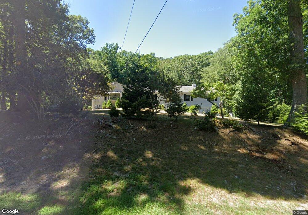
1360 Riverbank Rd Stamford, CT 06903
North Stamford NeighborhoodEstimated Value: $875,603 - $1,129,000
3
Beds
3
Baths
2,394
Sq Ft
$421/Sq Ft
Est. Value
About This Home
This home is located at 1360 Riverbank Rd, Stamford, CT 06903 and is currently estimated at $1,007,401, approximately $420 per square foot. 1360 Riverbank Rd is a home located in Fairfield County with nearby schools including Roxbury School, Cloonan School, and Westhill High School.
Ownership History
Date
Name
Owned For
Owner Type
Purchase Details
Closed on
Jul 10, 1998
Sold by
Abbot Richard L and Abbot Marie E
Bought by
Sibilia Giovanni C and Sibilia Teresa
Current Estimated Value
Create a Home Valuation Report for This Property
The Home Valuation Report is an in-depth analysis detailing your home's value as well as a comparison with similar homes in the area
Home Values in the Area
Average Home Value in this Area
Purchase History
| Date | Buyer | Sale Price | Title Company |
|---|---|---|---|
| Sibilia Giovanni C | $364,500 | -- |
Source: Public Records
Mortgage History
| Date | Status | Borrower | Loan Amount |
|---|---|---|---|
| Previous Owner | Sibilia Giovanni C | $179,000 | |
| Previous Owner | Sibilia Giovanni C | $178,000 |
Source: Public Records
Tax History Compared to Growth
Tax History
| Year | Tax Paid | Tax Assessment Tax Assessment Total Assessment is a certain percentage of the fair market value that is determined by local assessors to be the total taxable value of land and additions on the property. | Land | Improvement |
|---|---|---|---|---|
| 2025 | $10,252 | $440,550 | $236,870 | $203,680 |
| 2024 | $10,027 | $440,550 | $236,870 | $203,680 |
| 2023 | $10,776 | $440,550 | $236,870 | $203,680 |
| 2022 | $9,334 | $354,490 | $180,060 | $174,430 |
| 2021 | $9,206 | $354,490 | $180,060 | $174,430 |
| 2020 | $8,979 | $354,490 | $180,060 | $174,430 |
| 2019 | $8,979 | $354,490 | $180,060 | $174,430 |
| 2018 | $8,667 | $354,490 | $180,060 | $174,430 |
| 2017 | $9,833 | $365,680 | $201,940 | $163,740 |
| 2016 | $9,076 | $365,680 | $201,940 | $163,740 |
| 2015 | $8,828 | $365,680 | $201,940 | $163,740 |
| 2014 | $8,524 | $365,680 | $201,940 | $163,740 |
Source: Public Records
Map
Nearby Homes
- 401 Wildwood Rd
- 150 Wildwood Rd
- 25 Mill Stone Cir
- 21 S Brook Dr
- 271 Hunting Ridge Rd
- 77 Fox Glen Dr
- 43 Mill Rd
- 110 Erskine Rd
- Lot #21 S Brook Dr
- Lot #5 S Brook Dr
- 0 S Brook Dr Unit 170552650
- 95 Foxwood Rd
- 494 Sawmill Rd
- 30 Partridge Rd
- 27 Wellington Dr
- 81 Fox Ridge Rd
- 30 Dulan Dr
- 65 Malibu Rd
- 52 Mill Spring Ln
- 295 Haviland Rd
- 1372 Riverbank Rd
- 1352 Riverbank Rd
- 1351 Riverbank Rd
- 1371 Riverbank Rd
- 1392 Riverbank Rd
- 1347 Riverbank Rd
- 1332 Riverbank Rd
- 152 Harpsichord Turnpike
- 64 Round Hill Dr
- 1402 Riverbank Rd
- 1329 Riverbank Rd
- 142 Harpsichord Turnpike
- 1318 Riverbank Rd
- 1319 Riverbank Rd
- 1418 Riverbank Rd
- 125 Tall Oaks Rd
- 678 Erskine Rd
- 106 Tall Oaks Rd
- 60 Round Hill Dr
- 1419 Riverbank Rd