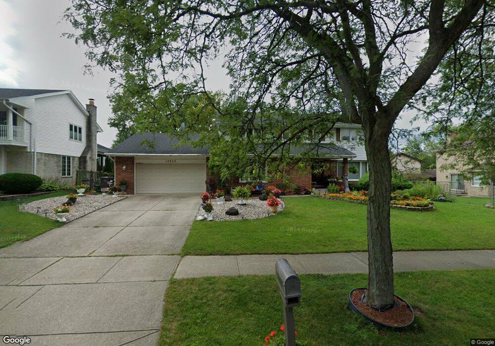
13600 Deerpath Dr Unit 2 Orland Park, IL 60462
Silver Lake North NeighborhoodEstimated Value: $530,000 - $551,000
5
Beds
4
Baths
2,842
Sq Ft
$189/Sq Ft
Est. Value
About This Home
This home is located at 13600 Deerpath Dr Unit 2, Orland Park, IL 60462 and is currently estimated at $537,104, approximately $188 per square foot. 13600 Deerpath Dr Unit 2 is a home located in Cook County with nearby schools including Prairie Elementary School, Liberty Elementary School, and Jerling Junior High School.
Ownership History
Date
Name
Owned For
Owner Type
Purchase Details
Closed on
Sep 30, 1998
Sold by
Vorperian Richard H and Vorperian Carol A
Bought by
Varjavand Reza and Varjavand Maryann
Current Estimated Value
Home Financials for this Owner
Home Financials are based on the most recent Mortgage that was taken out on this home.
Original Mortgage
$180,000
Interest Rate
6.88%
Purchase Details
Closed on
Feb 2, 1996
Sold by
Vorperian Richard H and Vorperian Carol A
Bought by
Vorperian Richard H and Vorperian Carol A
Create a Home Valuation Report for This Property
The Home Valuation Report is an in-depth analysis detailing your home's value as well as a comparison with similar homes in the area
Home Values in the Area
Average Home Value in this Area
Purchase History
| Date | Buyer | Sale Price | Title Company |
|---|---|---|---|
| Varjavand Reza | $255,000 | -- | |
| Vorperian Richard H | -- | -- |
Source: Public Records
Mortgage History
| Date | Status | Borrower | Loan Amount |
|---|---|---|---|
| Closed | Varjavand Reza | $180,000 |
Source: Public Records
Tax History Compared to Growth
Tax History
| Year | Tax Paid | Tax Assessment Tax Assessment Total Assessment is a certain percentage of the fair market value that is determined by local assessors to be the total taxable value of land and additions on the property. | Land | Improvement |
|---|---|---|---|---|
| 2024 | $9,437 | $43,676 | $7,895 | $35,781 |
| 2023 | $9,962 | $43,676 | $7,895 | $35,781 |
| 2022 | $9,962 | $39,413 | $6,843 | $32,570 |
| 2021 | $9,668 | $39,411 | $6,842 | $32,569 |
| 2020 | $10,069 | $41,743 | $6,842 | $34,901 |
| 2019 | $7,747 | $34,395 | $6,316 | $28,079 |
| 2018 | $8,124 | $36,617 | $6,316 | $30,301 |
| 2017 | $7,969 | $36,617 | $6,316 | $30,301 |
| 2016 | $8,130 | $33,416 | $5,789 | $27,627 |
| 2015 | $7,992 | $33,416 | $5,789 | $27,627 |
| 2014 | $8,398 | $33,416 | $5,789 | $27,627 |
| 2013 | $7,795 | $33,044 | $5,789 | $27,255 |
Source: Public Records
Map
Nearby Homes
- 8132 Pickens Dr
- 13623 S 84th Ave
- Richmond Plan at Misty Meadow
- Dartmore Plan at Misty Meadow
- Compton Plan at Misty Meadow
- Beaumont Plan at Misty Meadow
- Barrington Plan at Misty Meadow
- 8005 Trafalgar Ct
- 8115 Pluskota Dr
- 13458 S Westview Dr Unit V4
- 8309 W 132nd St
- 13550 86th Ave
- 13315 Strawberry Ln
- 14023 Chelsea Dr
- 7930 W Lakeview Ct Unit 2A
- 13332 S Oakview Ct Unit V4
- 13028 S 82nd Ave
- 13302 S Oakview Ct Unit 1FR
- 13959 Blackhawk Ln
- 8756 Butterfield Ln
- 13610 Deerpath Dr
- 8225 Red Oak Ln
- 8231 Red Oak Ln
- 13607 Arrowhead Ct
- 13618 Deerpath Dr
- 8241 Red Oak Ln
- 13601 Deerpath Dr
- 13557 Deerpath Dr
- 13609 Deerpath Dr
- 13617 Arrowhead Ct
- 13602 Arrowhead Ct
- 13549 Deerpath Dr
- 13617 Deerpath Dr
- 8249 Red Oak Ln
- 8224 Red Oak Ln
- 13625 Arrowhead Ct
- 8232 Red Oak Ln
- 13541 Deerpath Dr
- 13625 Deerpath Dr