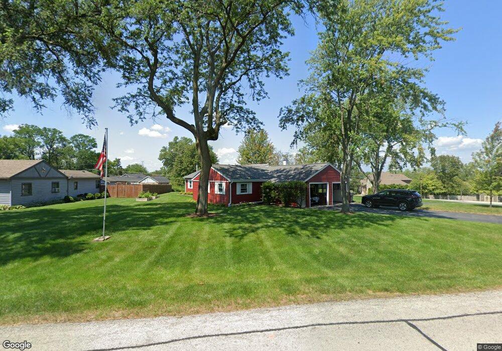
13600 Elm St Orland Park, IL 60462
Silver Lake North NeighborhoodEstimated Value: $309,000 - $407,000
5
Beds
2
Baths
1,230
Sq Ft
$292/Sq Ft
Est. Value
About This Home
This home is located at 13600 Elm St, Orland Park, IL 60462 and is currently estimated at $359,726, approximately $292 per square foot. 13600 Elm St is a home located in Cook County with nearby schools including Orland Park Elementary School, High Point Elementary School, and Orland Jr High School.
Ownership History
Date
Name
Owned For
Owner Type
Purchase Details
Closed on
Oct 17, 2017
Sold by
Blummer Gail S
Bought by
Blummer Gail S and Revocable Living Trust Of Gail S Blummer
Current Estimated Value
Purchase Details
Closed on
Oct 10, 2000
Sold by
Cole Taylor Bank
Bought by
Tyrrell Roger D and Tyrrell Linda M
Home Financials for this Owner
Home Financials are based on the most recent Mortgage that was taken out on this home.
Original Mortgage
$4,550,000
Outstanding Balance
$1,786,852
Interest Rate
9%
Mortgage Type
Construction
Estimated Equity
-$1,427,126
Create a Home Valuation Report for This Property
The Home Valuation Report is an in-depth analysis detailing your home's value as well as a comparison with similar homes in the area
Home Values in the Area
Average Home Value in this Area
Purchase History
| Date | Buyer | Sale Price | Title Company |
|---|---|---|---|
| Blummer Gail S | -- | Attorney | |
| Tyrrell Roger D | -- | -- |
Source: Public Records
Mortgage History
| Date | Status | Borrower | Loan Amount |
|---|---|---|---|
| Open | Tyrrell Roger D | $4,550,000 |
Source: Public Records
Tax History Compared to Growth
Tax History
| Year | Tax Paid | Tax Assessment Tax Assessment Total Assessment is a certain percentage of the fair market value that is determined by local assessors to be the total taxable value of land and additions on the property. | Land | Improvement |
|---|---|---|---|---|
| 2024 | $4,520 | $24,029 | $12,029 | $12,000 |
| 2023 | $3,920 | $24,029 | $12,029 | $12,000 |
| 2022 | $3,920 | $19,242 | $10,388 | $8,854 |
| 2021 | $3,833 | $19,242 | $10,388 | $8,854 |
| 2020 | $3,803 | $19,242 | $10,388 | $8,854 |
| 2019 | $3,716 | $19,712 | $9,294 | $10,418 |
| 2018 | $3,612 | $19,712 | $9,294 | $10,418 |
| 2017 | $4,028 | $21,511 | $9,294 | $12,217 |
| 2016 | $4,262 | $17,771 | $8,201 | $9,570 |
| 2015 | $4,186 | $17,771 | $8,201 | $9,570 |
| 2014 | $4,139 | $17,771 | $8,201 | $9,570 |
| 2013 | $4,416 | $19,860 | $8,201 | $11,659 |
Source: Public Records
Map
Nearby Homes
- 13520 Idlewild Dr
- 8932 Pebble Beach Ln
- 8841 Briarwood Ln
- 13411 Westgate Ct
- 13904 Virginia Ct
- 9146 W 140th St Unit 3NE
- 9114 W 140th St Unit 204
- 8820 W 140th St Unit 2A
- 9249 Dunmore Dr
- 13550 86th Ave
- 8756 Butterfield Ln
- 9590 Southmoor Dr
- 14111 Tod William Dr
- 14040 Boxwood Ln
- 13315 Strawberry Ln
- 14216 Clearview Dr
- 14304 Clearview Ct Unit 8904
- 14340 Mason Ln
- 13623 S 84th Ave
- 14350 Mason Ln