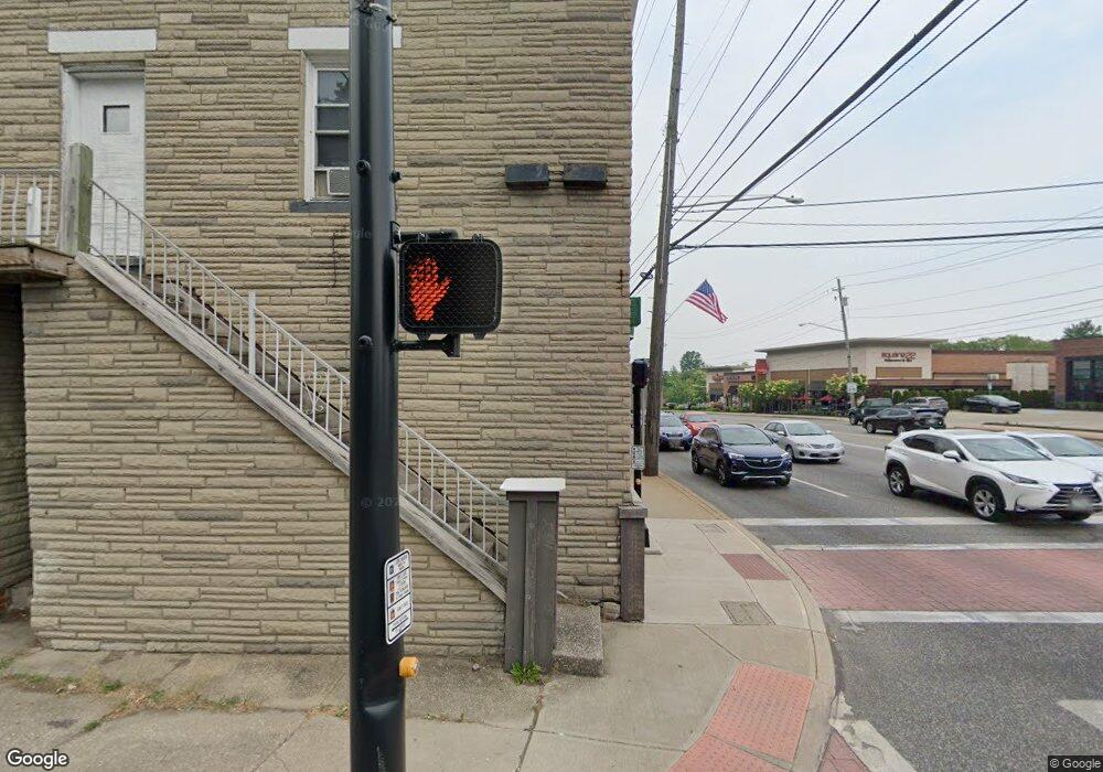
13600 Pearl Rd Strongsville, OH 44136
Estimated Value: $325,942
--
Bed
--
Bath
1,908
Sq Ft
$171/Sq Ft
Est. Value
About This Home
This home is located at 13600 Pearl Rd, Strongsville, OH 44136 and is currently estimated at $325,942, approximately $170 per square foot. 13600 Pearl Rd is a home located in Cuyahoga County with nearby schools including Strongsville High School, Strongsville Academy, and Sts Joseph & John Interparochial School.
Ownership History
Date
Name
Owned For
Owner Type
Purchase Details
Closed on
Nov 2, 2018
Sold by
Skowronsky Management Llc
Bought by
Clark Thomas M
Current Estimated Value
Home Financials for this Owner
Home Financials are based on the most recent Mortgage that was taken out on this home.
Original Mortgage
$120,000
Outstanding Balance
$75,379
Interest Rate
4.6%
Mortgage Type
Commercial
Estimated Equity
$250,563
Purchase Details
Closed on
Jul 22, 2009
Sold by
Skowronsky Michael E
Bought by
Skowronsky Management Llc
Purchase Details
Closed on
Apr 29, 1988
Sold by
Skowronsky Mike
Bought by
Skowronsky Mike
Purchase Details
Closed on
Mar 10, 1976
Sold by
Szentpetery Herman J and Szentpetery V
Bought by
Skowronsky Mike
Purchase Details
Closed on
Jan 1, 1975
Bought by
Szentpetery Herman J and Szentpetery Szentpetery
Create a Home Valuation Report for This Property
The Home Valuation Report is an in-depth analysis detailing your home's value as well as a comparison with similar homes in the area
Home Values in the Area
Average Home Value in this Area
Purchase History
| Date | Buyer | Sale Price | Title Company |
|---|---|---|---|
| Clark Thomas M | $200,000 | Consumer Direct Title | |
| Skowronsky Management Llc | -- | Attorney | |
| Skowronsky Mike | -- | -- | |
| Skowronsky Mike | $70,000 | -- | |
| Szentpetery Herman J | -- | -- |
Source: Public Records
Mortgage History
| Date | Status | Borrower | Loan Amount |
|---|---|---|---|
| Open | Clark Thomas M | $120,000 |
Source: Public Records
Tax History Compared to Growth
Tax History
| Year | Tax Paid | Tax Assessment Tax Assessment Total Assessment is a certain percentage of the fair market value that is determined by local assessors to be the total taxable value of land and additions on the property. | Land | Improvement |
|---|---|---|---|---|
| 2024 | $5,298 | $73,815 | $12,600 | $61,215 |
| 2023 | $5,719 | $70,000 | $10,080 | $59,920 |
| 2022 | $5,705 | $70,000 | $10,080 | $59,920 |
| 2021 | $5,738 | $70,000 | $10,080 | $59,920 |
| 2020 | $5,911 | $50,020 | $10,080 | $39,940 |
| 2019 | $4,103 | $142,900 | $28,800 | $114,100 |
| 2018 | $3,719 | $50,020 | $10,080 | $39,940 |
| 2017 | $3,525 | $44,250 | $8,860 | $35,390 |
| 2016 | $3,505 | $44,250 | $8,860 | $35,390 |
| 2015 | $5,981 | $44,250 | $8,860 | $35,390 |
| 2014 | $5,981 | $50,260 | $10,080 | $40,180 |
Source: Public Records
Map
Nearby Homes
- 19160 Wheelers Ln
- 13099 Olympus Way
- 13156 Olympus Way
- 13066 Olympus Way
- 14112 Settlers Way
- 19620 Porters Ln Unit 15F
- 18248 Meadow Ln
- 12539 Olympus Way
- 12385 Corinth Ct
- 12694 Ionia Ct
- 18336 Falling Water Rd
- 17809 Cliffside Dr Unit 4926
- 17289 Akita Ct Unit 4508
- 12647 Edgepark Cir
- 17945 Cliffside Dr
- 20078 Trapper Trail
- 13236 Tomson Dr
- 18630 Shurmer Rd
- 19513 Lunn Rd
- 13513 Suncrest Ct
- 19038 Westwood Dr
- 19068 Westwood Dr
- 18910 Westwood Dr
- 19098 Westwood Dr
- 13702 Pearl Rd
- 0 Westwood Dr Unit 3127930
- 19128 Westwood Dr
- 19132 Westwood Dr
- 19137 Westwood Dr
- 19137 Westwood Dr Unit 1
- 19137 Westwood Dr Unit 2
- 19130 Royalton Rd
- 19136 Westwood Dr
- 19163 Westwood Dr
- 19162 Westwood Dr
- 13309 Pearl Rd
- 19190 Westwood Dr
- 19191 Westwood Dr
- 19262 Westwood Dr
- 19194 Westwood Dr
