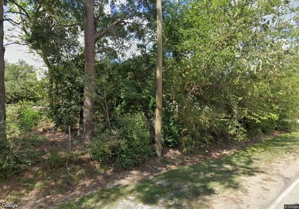
13600 Sundale Rd Houston, TX 77038
North Houston NeighborhoodEstimated Value: $270,000 - $1,065,978
14
Beds
10
Baths
6,598
Sq Ft
$107/Sq Ft
Est. Value
About This Home
This home is located at 13600 Sundale Rd, Houston, TX 77038 and is currently estimated at $703,993, approximately $106 per square foot. 13600 Sundale Rd is a home located in Harris County with nearby schools including Kujawa EC/Pre-K/K School, Wilson Intermediate School, and Shotwell Middle School.
Ownership History
Date
Name
Owned For
Owner Type
Purchase Details
Closed on
Sep 10, 2004
Sold by
Strother Lurline and Hendricks Harlan B
Bought by
Herrera Asuncion J
Current Estimated Value
Home Financials for this Owner
Home Financials are based on the most recent Mortgage that was taken out on this home.
Original Mortgage
$132,000
Outstanding Balance
$65,701
Interest Rate
5.95%
Mortgage Type
New Conventional
Estimated Equity
$638,292
Create a Home Valuation Report for This Property
The Home Valuation Report is an in-depth analysis detailing your home's value as well as a comparison with similar homes in the area
Home Values in the Area
Average Home Value in this Area
Purchase History
| Date | Buyer | Sale Price | Title Company |
|---|---|---|---|
| Herrera Asuncion J | -- | Texas American Title Company |
Source: Public Records
Mortgage History
| Date | Status | Borrower | Loan Amount |
|---|---|---|---|
| Open | Herrera Asuncion J | $132,000 | |
| Closed | Herrera Asuncion J | $33,000 |
Source: Public Records
Tax History Compared to Growth
Tax History
| Year | Tax Paid | Tax Assessment Tax Assessment Total Assessment is a certain percentage of the fair market value that is determined by local assessors to be the total taxable value of land and additions on the property. | Land | Improvement |
|---|---|---|---|---|
| 2025 | $14,509 | $1,215,045 | $406,959 | $808,086 |
| 2024 | $14,509 | $1,194,162 | $443,223 | $750,939 |
| 2023 | $14,509 | $900,179 | $290,110 | $610,069 |
| 2022 | $14,472 | $879,745 | $290,110 | $589,635 |
| 2021 | $13,791 | $885,417 | $221,612 | $663,805 |
| 2020 | $13,214 | $581,689 | $221,612 | $360,077 |
| 2019 | $12,852 | $547,522 | $229,670 | $317,852 |
| 2018 | $6,693 | $491,155 | $229,670 | $261,485 |
| 2017 | $11,091 | $491,155 | $229,670 | $261,485 |
| 2016 | $10,083 | $449,897 | $185,348 | $264,549 |
| 2015 | $8,018 | $404,438 | $161,172 | $243,266 |
| 2014 | $8,018 | $390,730 | $95,586 | $295,144 |
Source: Public Records
Map
Nearby Homes
- 2919 Sunwood Dr
- 13803 Bearwood Rd
- 13308 Ann Louise Rd
- 3240 Brownie Campbell Rd
- 14003 Valley Grove Dr
- 2719 Magnolia Hill Trail
- 2530 Woodtown Dr
- 12611 Landon Light Ln
- 2835 Oakland Brook St
- 2831 Oakland Brook St
- 2811 Oakland Brook St
- 2838 Packard Elm St
- 14118 Magnolia Springs Dr
- 13518 Kaltenbrun Rd
- 13610 Kaltenbrun Rd
- 3127 Frick Rd
- 10915 Meadow Walk Ln
- 2322 Hadden Hollow Dr
- 2614 Lemonwood Ln
- 2410 Irish Spring Dr
- 0 Sundale Rd
- 13617 Sundale Rd
- 13525 Sundale Rd
- 13609 Sundale Rd
- 13506 Sundale Rd
- 13621 Sundale Rd
- 13526 Sundale Rd
- 13610 Sundale Rd
- 3023 Brownie Campbell Rd
- 3011 Brownie Campbell Rd
- 3007 Brownie Campbell Rd
- 3114 Wheat St
- 2917 Brownie Campbell Rd
- 3118 Wheat St
- 2913 Brownie Campbell Rd
- 3018 Brownie Campbell Rd
- 3133 Brownie Campbell Rd
- 3114 Brownie Campbell Rd
- 13602 Ann Louise Rd
- 13602 Ann Louise Rd
