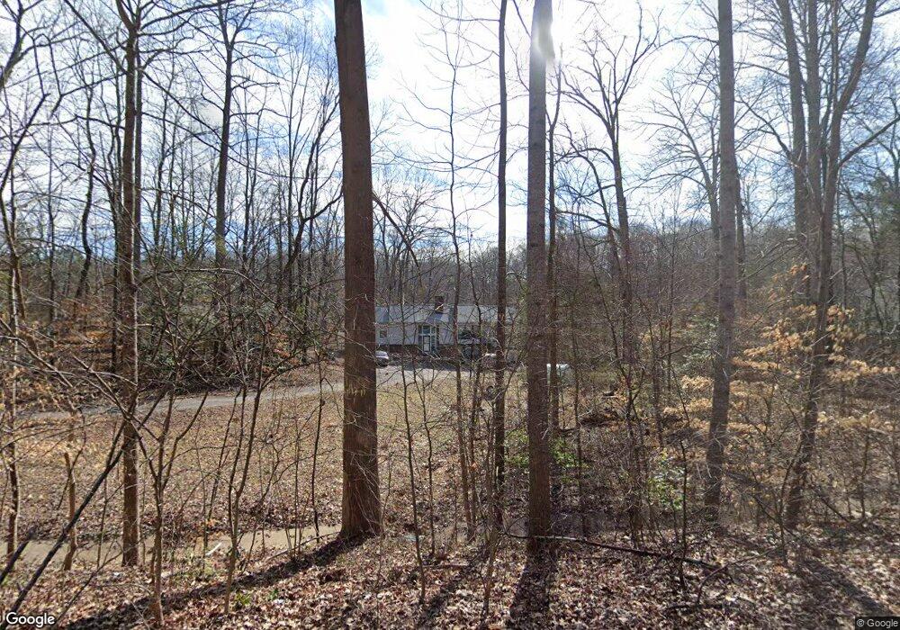
13601 Birdsong Ln Midlothian, VA 23112
Estimated Value: $420,000 - $505,000
4
Beds
3
Baths
3,000
Sq Ft
$154/Sq Ft
Est. Value
About This Home
This home is located at 13601 Birdsong Ln, Midlothian, VA 23112 and is currently estimated at $462,399, approximately $154 per square foot. 13601 Birdsong Ln is a home located in Chesterfield County with nearby schools including Clover Hill Elementary School, Swift Creek Middle, and Clover Hill High.
Ownership History
Date
Name
Owned For
Owner Type
Purchase Details
Closed on
Feb 22, 2006
Sold by
Sviontek Theodore
Bought by
Mcdonald Forrest
Current Estimated Value
Home Financials for this Owner
Home Financials are based on the most recent Mortgage that was taken out on this home.
Original Mortgage
$152,000
Outstanding Balance
$85,316
Interest Rate
6.15%
Mortgage Type
New Conventional
Estimated Equity
$377,083
Create a Home Valuation Report for This Property
The Home Valuation Report is an in-depth analysis detailing your home's value as well as a comparison with similar homes in the area
Home Values in the Area
Average Home Value in this Area
Purchase History
| Date | Buyer | Sale Price | Title Company |
|---|---|---|---|
| Mcdonald Forrest | $302,000 | -- |
Source: Public Records
Mortgage History
| Date | Status | Borrower | Loan Amount |
|---|---|---|---|
| Open | Mcdonald Forrest | $152,000 |
Source: Public Records
Tax History Compared to Growth
Tax History
| Year | Tax Paid | Tax Assessment Tax Assessment Total Assessment is a certain percentage of the fair market value that is determined by local assessors to be the total taxable value of land and additions on the property. | Land | Improvement |
|---|---|---|---|---|
| 2025 | $3,119 | $347,600 | $29,500 | $318,100 |
| 2024 | $3,119 | $346,400 | $42,000 | $304,400 |
| 2023 | $3,174 | $348,800 | $54,000 | $294,800 |
| 2022 | $3,052 | $331,700 | $52,000 | $279,700 |
| 2021 | $2,831 | $291,100 | $50,000 | $241,100 |
| 2020 | $2,765 | $291,100 | $50,000 | $241,100 |
| 2019 | $2,600 | $273,700 | $48,000 | $225,700 |
| 2018 | $2,516 | $264,800 | $47,000 | $217,800 |
| 2017 | $2,340 | $243,700 | $46,000 | $197,700 |
| 2016 | $2,225 | $231,800 | $45,000 | $186,800 |
| 2015 | $2,191 | $225,600 | $44,000 | $181,600 |
| 2014 | $2,165 | $222,900 | $44,000 | $178,900 |
Source: Public Records
Map
Nearby Homes
- 13305 Pointer Ridge Terrace
- 13501 Buck Rub Dr
- 7136 Velvet Antler Dr
- 7018 Spring Trace Terrace
- 13628 Baycraft Terrace
- 31 Spinnaker Cove Dr
- 13707 Swale Ln
- 4902 Court Ridge Terrace
- 6001 Harbourwood Ct
- 13300 Court Ridge Rd
- 7112 Deer Thicket Dr
- 4714 Five Springs Ct
- 13207 Gate Post Ct
- 5601 Promontory Pointe Rd
- 7706 Northern Dancer Ct
- 13905 N Point Rd
- 13812 Rockport Landing Rd
- 13813 Kentucky Derby Place
- 7806 Belmont Stakes Dr
- 13106 Beech Hill Dr
- 13615 Birdsong Ln
- 13610 Birdsong Ln
- 6324 Mockingbird Ln
- 6325 Mockingbird Ln
- 13621 Birdsong Ln
- 13620 Birdsong Ln
- 6317 Mockingbird Ln
- 6331 Mockingbird Ln
- 6316 Mockingbird Ln
- 7100 Harbourside Ct
- 6309 Mockingbird Ln
- 7106 Harbourside Ct
- 6308 Mockingbird Ln
- 7106 Port Side Dr
- 7107 Harbourside Ct
- 6301 Mockingbird Ln
- 7112 Harbourside Ct
- 7100 Port Side Dr
- 7113 Harbourside Ct
- 7112 Port Side Dr