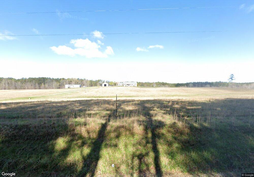
1361 Adams Rd Union Point, GA 30669
Estimated Value: $253,000 - $829,960
3
Beds
2
Baths
2,060
Sq Ft
$266/Sq Ft
Est. Value
About This Home
This home is located at 1361 Adams Rd, Union Point, GA 30669 and is currently estimated at $547,240, approximately $265 per square foot. 1361 Adams Rd is a home located in Greene County with nearby schools including Greene County High School.
Ownership History
Date
Name
Owned For
Owner Type
Purchase Details
Closed on
Feb 17, 2014
Sold by
Williams Christopher Kyle
Bought by
Williams Christopher Kyle and Williams Danielle Lyn
Current Estimated Value
Purchase Details
Closed on
Oct 12, 2001
Sold by
North American Timber Corp---
Bought by
Plum Creek Timberlands
Purchase Details
Closed on
Jul 16, 1999
Sold by
Georgia Pacific
Bought by
North American Timber Corp---
Purchase Details
Closed on
Jan 1, 1987
Sold by
Georgia Kraft
Bought by
Georgia Pacific
Purchase Details
Closed on
Jan 1, 1957
Bought by
Georgia Kraft
Create a Home Valuation Report for This Property
The Home Valuation Report is an in-depth analysis detailing your home's value as well as a comparison with similar homes in the area
Home Values in the Area
Average Home Value in this Area
Purchase History
| Date | Buyer | Sale Price | Title Company |
|---|---|---|---|
| Williams Christopher Kyle | -- | -- | |
| Plum Creek Timberlands | -- | -- | |
| North American Timber Corp--- | -- | -- | |
| Georgia Pacific | -- | -- | |
| Georgia Kraft | -- | -- |
Source: Public Records
Tax History Compared to Growth
Tax History
| Year | Tax Paid | Tax Assessment Tax Assessment Total Assessment is a certain percentage of the fair market value that is determined by local assessors to be the total taxable value of land and additions on the property. | Land | Improvement |
|---|---|---|---|---|
| 2024 | $1,605 | $246,400 | $129,040 | $117,360 |
| 2023 | $1,337 | $220,360 | $108,280 | $112,080 |
| 2022 | $1,686 | $181,600 | $83,280 | $98,320 |
| 2021 | $1,768 | $172,000 | $83,280 | $88,720 |
| 2020 | $1,925 | $119,200 | $51,160 | $68,040 |
| 2019 | $1,971 | $119,200 | $51,160 | $68,040 |
| 2018 | $1,903 | $120,480 | $52,440 | $68,040 |
| 2017 | $1,771 | $118,992 | $52,444 | $66,548 |
| 2016 | $1,765 | $119,905 | $52,444 | $67,461 |
| 2015 | $1,738 | $119,905 | $52,444 | $67,462 |
| 2014 | $1,768 | $112,737 | $52,444 | $60,293 |
Source: Public Records
Map
Nearby Homes
- 1251 Adams Rd
- 0 Old Union Point Rd Unit 1 10557753
- 0 Washington Hwy Unit 7276060
- 0 S Rhodes St Unit 10618488
- 215 Hunter St
- 1251 Brick House Rd
- 1251 Brickhouse Rd
- 324 N Rhodes St
- 0 Shady Side Ln
- 1241 Old Siloam Rd
- 202 Veazey St
- 0 Union Point Hwy Unit 10555176
- 0 Union Point Hwy Unit 7607786
- 1041 Hillcrest Dr
- 0 Woodland Ct Unit 10543600
- 1581 Highway 77 S Hwy
- 112 Hendry St
- 1581 Highway 77 S
- 1211 Peachtree Ave W
- 0 Woodville Rd Unit 7667944
- 1290 Adams Rd
- 1170 Adams Rd
- 1101 Adams Rd
- 2350 Cunningham Rd
- 1110 Adams Rd
- 2300 Cunningham Rd
- 1940 Hwy 77n
- 2030 Highway 77 N
- 1940 Highway 77 N
- 1920 Highway 77 N
- 1900 Highway 77 N
- 2100 Highway 77 N
- 2250 Cunningham Rd
- 3741 Hensley Rd
- 1800 N Highway 77 N
- 1590 Highway 77 N
- 1600 Highway 77 N
- 2081 Highway 77 N Unit 1030000450
- 2081 Highway 77 N
- 2081 Highway 77 N