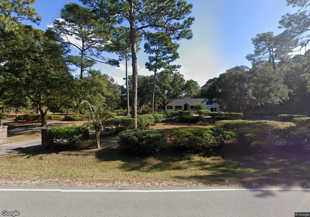
1361 Brownswood Rd Johns Island, SC 29455
Estimated Value: $520,000 - $699,403
3
Beds
2
Baths
2,006
Sq Ft
$289/Sq Ft
Est. Value
About This Home
This home is located at 1361 Brownswood Rd, Johns Island, SC 29455 and is currently estimated at $580,601, approximately $289 per square foot. 1361 Brownswood Rd is a home located in Charleston County with nearby schools including Angel Oak Elementary School, Haut Gap Middle School, and St. Johns High School.
Ownership History
Date
Name
Owned For
Owner Type
Purchase Details
Closed on
Jan 29, 2008
Sold by
Garner Adina G and Garner Adina L
Bought by
Garner Adina G and Garner Christopher G
Current Estimated Value
Home Financials for this Owner
Home Financials are based on the most recent Mortgage that was taken out on this home.
Original Mortgage
$262,500
Outstanding Balance
$158,256
Interest Rate
5.23%
Mortgage Type
Stand Alone Refi Refinance Of Original Loan
Estimated Equity
$422,345
Purchase Details
Closed on
Mar 15, 2000
Sold by
Suzette Gaines Linda
Bought by
Garner Adina Lynette
Create a Home Valuation Report for This Property
The Home Valuation Report is an in-depth analysis detailing your home's value as well as a comparison with similar homes in the area
Home Values in the Area
Average Home Value in this Area
Purchase History
| Date | Buyer | Sale Price | Title Company |
|---|---|---|---|
| Garner Adina G | -- | -- | |
| Garner Adina Lynette | -- | -- |
Source: Public Records
Mortgage History
| Date | Status | Borrower | Loan Amount |
|---|---|---|---|
| Open | Garner Adina G | $262,500 |
Source: Public Records
Tax History Compared to Growth
Tax History
| Year | Tax Paid | Tax Assessment Tax Assessment Total Assessment is a certain percentage of the fair market value that is determined by local assessors to be the total taxable value of land and additions on the property. | Land | Improvement |
|---|---|---|---|---|
| 2024 | $1,667 | $16,330 | $0 | $0 |
| 2023 | $1,667 | $16,330 | $0 | $0 |
| 2022 | $1,571 | $16,330 | $0 | $0 |
| 2021 | $1,661 | $16,330 | $0 | $0 |
| 2020 | $1,710 | $16,330 | $0 | $0 |
| 2019 | $1,531 | $14,200 | $0 | $0 |
| 2017 | $1,458 | $14,200 | $0 | $0 |
| 2016 | $1,380 | $14,200 | $0 | $0 |
| 2015 | $1,411 | $14,200 | $0 | $0 |
| 2014 | $1,252 | $0 | $0 | $0 |
| 2011 | -- | $0 | $0 | $0 |
Source: Public Records
Map
Nearby Homes
- 1506 Southwick Dr
- 1543 Keswick Dr
- 1506 Chastain Rd
- 1574 Burnswick Dr
- 1522 Southwick Dr
- 1617 Southwick Dr
- 2927&2926 Stephanie Dr
- 1546 Fishbone Dr
- 1440 Milldam Pass
- 1610 Fishbone Dr
- 1409 Tannery Row
- 00 Brownswood Rd
- 1531 Innkeeper Ln
- 1660 Boyd N Hayes Rd
- 3232 Arrow Arum Dr
- 3232 Dunwick Dr
- 3288 Comsee Ln
- 1195 Michelle Ln
- 3308 Comsee Ln
- 560 Hayes Park Blvd Unit Hr 12
- 3404 Dunwick Dr
- 0 Dunwick Dr Unit 2219697
- 0 Dunwick Dr Unit 18030872
- 0 Dunwick Dr Unit 18031574
- 3376 Dunwick Dr
- 3410 Dunwick Dr
- 3414 Dunwick Dr
- 3368 Dunwick Dr
- 1369 Brownswood Rd
- 3364 Dunwick Dr
- 3416 Dunwick Dr
- 1503 Southwick Dr
- 1522 Keswick Dr
- 3373 Dunwick Dr
- 3360 Dunwick Dr
- 1483 Walker White Rd
- 3356 Dunwick Dr
- 1355 Brownswood Rd
- 3367 Dunwick Dr
- 1353 Brownswood Rd