1361 Cooneymus Rd Block Island, RI 02807
Estimated Value: $1,392,341 - $2,861,000
3
Beds
3
Baths
2,213
Sq Ft
$901/Sq Ft
Est. Value
About This Home
This home is located at 1361 Cooneymus Rd, Block Island, RI 02807 and is currently estimated at $1,994,835, approximately $901 per square foot. 1361 Cooneymus Rd is a home with nearby schools including Block Island School.
Ownership History
Date
Name
Owned For
Owner Type
Purchase Details
Closed on
Mar 20, 2002
Sold by
Lewis Keith A
Bought by
Lang Keith M
Current Estimated Value
Home Financials for this Owner
Home Financials are based on the most recent Mortgage that was taken out on this home.
Original Mortgage
$75,000
Interest Rate
6.91%
Mortgage Type
Purchase Money Mortgage
Create a Home Valuation Report for This Property
The Home Valuation Report is an in-depth analysis detailing your home's value as well as a comparison with similar homes in the area
Home Values in the Area
Average Home Value in this Area
Purchase History
| Date | Buyer | Sale Price | Title Company |
|---|---|---|---|
| Lang Keith M | $140,000 | -- |
Source: Public Records
Mortgage History
| Date | Status | Borrower | Loan Amount |
|---|---|---|---|
| Open | Lang Keith M | $507,000 | |
| Closed | Lang Keith M | $799,000 | |
| Closed | Lang Keith M | $700,000 | |
| Closed | Lang Keith M | $75,000 |
Source: Public Records
Tax History Compared to Growth
Tax History
| Year | Tax Paid | Tax Assessment Tax Assessment Total Assessment is a certain percentage of the fair market value that is determined by local assessors to be the total taxable value of land and additions on the property. | Land | Improvement |
|---|---|---|---|---|
| 2024 | $5,190 | $940,200 | $95,800 | $844,400 |
| 2023 | $5,660 | $940,200 | $95,800 | $844,400 |
| 2022 | $2,736 | $386,400 | $85,120 | $301,280 |
| 2021 | $2,589 | $386,400 | $85,120 | $301,280 |
| 2020 | $2,458 | $386,400 | $85,120 | $301,280 |
| 2019 | $2,380 | $386,400 | $85,120 | $301,280 |
| 2018 | $2,487 | $417,920 | $80,080 | $337,840 |
| 2017 | $2,449 | $417,920 | $80,080 | $337,840 |
| 2016 | $2,391 | $417,920 | $80,080 | $337,840 |
| 2015 | $2,953 | $536,000 | $100,100 | $435,900 |
| 2014 | $2,862 | $536,000 | $100,100 | $435,900 |
| 2013 | $2,793 | $536,000 | $100,100 | $435,900 |
Source: Public Records
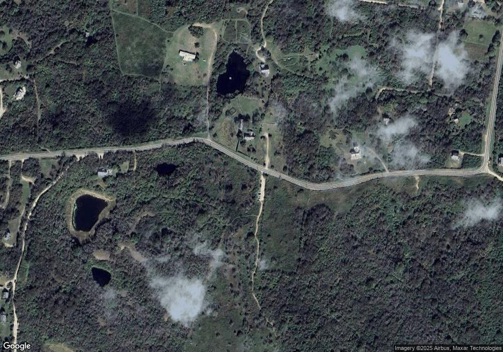
Map
Nearby Homes
- 1328 Cooneymus Rd
- 1501 Beacon Hill Rd
- 1087 Lakeside Dr
- 1596 W Side Rd
- 0 Snake Hole Rd
- 1557 W Side Rd
- 1661 Sand Pond Rd
- 1448 Mohegan Trail
- 1035 Mohegan Trail
- 0 Mohegan Trail
- 804 Mohegan Trail
- 481 Old Town Rd
- 194 Pilot Hill Rd
- 1210 Graces Cove Rd
- 0 Coast Guard Rd
- 0 Pilot Hill Rd
- 1289 High St
- 256 High St
- 0 Spring St
- 0 Southeast Rd Unit 1381406
- 1349 Cooneymus Rd
- 1343 Cooneymus Rd
- 883 Cooneymus Rd
- 1342 Old Mill Rd
- 1290 Cooneymus Rd
- 884 Cooneymus Rd
- 1310 Old Mill Rd
- 1222 Cooneymus Rd
- 1116 Cooneymus Rd
- 1154 Cooneymus Rd
- 985 Cooneymus Rd
- 590 Old Mill Rd
- 1093 Lees Ridge Rd
- 1419 Cooneymus Rd
- 1313 Peckham Farm Rd
- 1370 Lee's Ridge Rd
- 1054 Cooneymus Rd
- 1333 Peckham Farm Rd
- 1304 Old Mill Farms
- 1375 Peckham Farm Rd