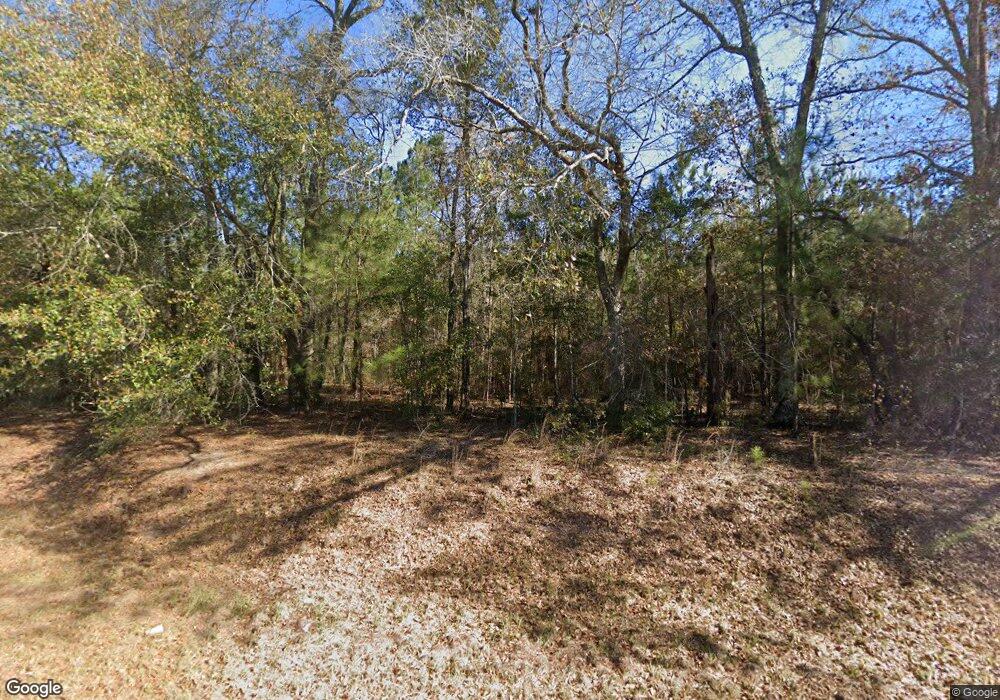
1361 Hutchinson Ferry Rd Bainbridge, GA 39819
Estimated Value: $145,000 - $239,368
--
Bed
1
Bath
654
Sq Ft
$301/Sq Ft
Est. Value
About This Home
This home is located at 1361 Hutchinson Ferry Rd, Bainbridge, GA 39819 and is currently estimated at $197,123, approximately $301 per square foot. 1361 Hutchinson Ferry Rd is a home located in Decatur County with nearby schools including Bainbridge High School.
Ownership History
Date
Name
Owned For
Owner Type
Purchase Details
Closed on
Jan 3, 2023
Sold by
Nationstar Mortgage Llc
Bought by
Federal National Mortgage Association
Current Estimated Value
Purchase Details
Closed on
May 19, 2006
Sold by
Neal Jack
Bought by
Drummer Daniel J and Drummer Carol A
Create a Home Valuation Report for This Property
The Home Valuation Report is an in-depth analysis detailing your home's value as well as a comparison with similar homes in the area
Home Values in the Area
Average Home Value in this Area
Purchase History
| Date | Buyer | Sale Price | Title Company |
|---|---|---|---|
| Federal National Mortgage Association | $90,928 | -- | |
| Nationstar Mortgage Llc | $90,928 | -- | |
| Drummer Daniel J | $58,407 | -- |
Source: Public Records
Mortgage History
| Date | Status | Borrower | Loan Amount |
|---|---|---|---|
| Closed | Drummer Daniel J | $0 |
Source: Public Records
Tax History Compared to Growth
Tax History
| Year | Tax Paid | Tax Assessment Tax Assessment Total Assessment is a certain percentage of the fair market value that is determined by local assessors to be the total taxable value of land and additions on the property. | Land | Improvement |
|---|---|---|---|---|
| 2024 | $2,048 | $67,993 | $16,286 | $51,707 |
| 2023 | $1,417 | $67,993 | $16,286 | $51,707 |
| 2022 | $1,638 | $63,302 | $12,002 | $51,300 |
| 2021 | $1,591 | $60,605 | $10,699 | $49,906 |
| 2020 | $1,472 | $54,065 | $10,699 | $43,366 |
| 2019 | $1,462 | $52,009 | $10,699 | $41,310 |
| 2018 | $1,411 | $51,006 | $10,699 | $40,307 |
| 2017 | $1,600 | $51,006 | $10,699 | $40,307 |
| 2016 | $1,500 | $49,791 | $9,484 | $40,307 |
| 2015 | $1,520 | $49,791 | $9,484 | $40,307 |
| 2014 | -- | $49,791 | $9,484 | $40,307 |
| 2013 | -- | $0 | $0 | $0 |
Source: Public Records
Map
Nearby Homes
- XXXX Hutchinson Ferry Rd
- 145 Old Post Office Loop
- 5975 Mount Pleasant Rd
- XXX Lewis Ln
- 0 Hutchinson Ferry Rd
- xx Glory Rd
- 660 Cool Springs Rd
- 405 Cox Rd
- Rbd Glory Rd
- Lot#3 Glory Rd
- Lot#2 Glory Rd
- Lot#4 Glory Rd
- 0000 Glory Rd
- Lot#6 Glory Rd
- Lot#5 Glory Rd
- 0 Bettstown Rd
- 0 J&j Ln Unit MFRO6321078
- 95 Dons Ln
- 0300 Shade Farm Rd
- 0200 Shade Farm Rd
- 1333 Hutchinson Ferry Rd
- 826 Hannatown Rd
- 00 Hutchinson Ferry Rd
- 781 Hannatown Rd
- 811 Hannatown Rd
- 811 Hannatown Rd
- 720 Hannatown Rd
- 250 Jep Martin Rd
- 163 Us Johnson Rd
- 145 Old Post Office Loop Unit X
- 5975 Mt Pleasant Rd
- 5829 Mount Pleasant Rd
- 182 Old Post Office Loop
- 267 Old Post Office Loop
- 181 Mcmillan Rd
- 207 Old Post Office Loop
- 1215 Hutchinson Ferry Rd
- 4417 Hutchinson Ferry Rd
- 4460 Hutchinson Ferry Rd
- 5617 Mount Pleasant Rd
