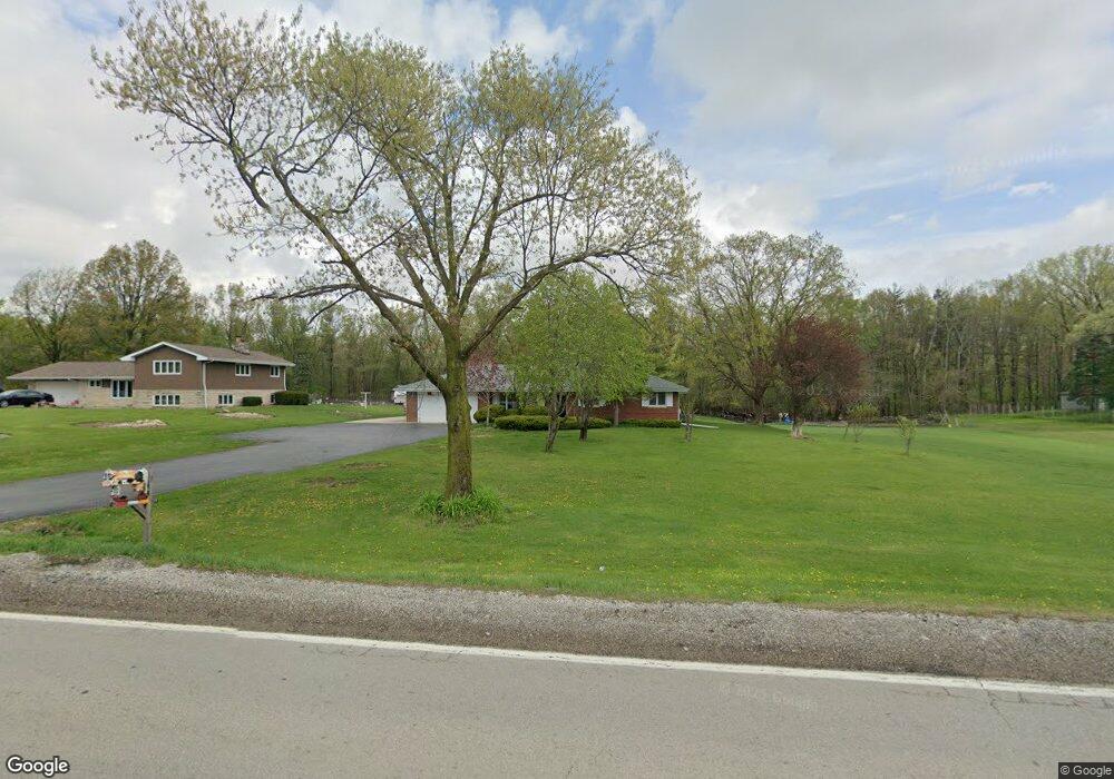
1361 W Maple Rd New Lenox, IL 60451
Estimated Value: $371,129 - $428,000
--
Bed
--
Bath
--
Sq Ft
1.5
Acres
About This Home
This home is located at 1361 W Maple Rd, New Lenox, IL 60451 and is currently estimated at $408,782. 1361 W Maple Rd is a home located in Will County with nearby schools including Oster-Oakview School, Haines Elementary School, and Lincoln Way West.
Ownership History
Date
Name
Owned For
Owner Type
Purchase Details
Closed on
Oct 13, 2000
Sold by
Ellena Barbara A
Bought by
Ochoa Alvaro
Current Estimated Value
Home Financials for this Owner
Home Financials are based on the most recent Mortgage that was taken out on this home.
Original Mortgage
$175,750
Outstanding Balance
$64,598
Interest Rate
8.03%
Estimated Equity
$344,184
Create a Home Valuation Report for This Property
The Home Valuation Report is an in-depth analysis detailing your home's value as well as a comparison with similar homes in the area
Home Values in the Area
Average Home Value in this Area
Purchase History
| Date | Buyer | Sale Price | Title Company |
|---|---|---|---|
| Ochoa Alvaro | $185,000 | Chicago Title Insurance Co |
Source: Public Records
Mortgage History
| Date | Status | Borrower | Loan Amount |
|---|---|---|---|
| Open | Ochoa Alvaro | $175,750 |
Source: Public Records
Tax History Compared to Growth
Tax History
| Year | Tax Paid | Tax Assessment Tax Assessment Total Assessment is a certain percentage of the fair market value that is determined by local assessors to be the total taxable value of land and additions on the property. | Land | Improvement |
|---|---|---|---|---|
| 2024 | $8,039 | $109,063 | $31,077 | $77,986 |
| 2023 | $8,039 | $99,419 | $28,329 | $71,090 |
| 2022 | $7,233 | $91,589 | $26,098 | $65,491 |
| 2021 | $6,848 | $86,136 | $24,544 | $61,592 |
| 2020 | $6,642 | $83,062 | $23,668 | $59,394 |
| 2019 | $6,348 | $80,486 | $22,934 | $57,552 |
| 2018 | $5,396 | $68,762 | $22,143 | $46,619 |
| 2017 | $5,117 | $66,785 | $21,506 | $45,279 |
| 2016 | $4,957 | $64,997 | $20,930 | $44,067 |
| 2015 | $4,764 | $62,951 | $20,271 | $42,680 |
| 2014 | $4,764 | $62,174 | $20,021 | $42,153 |
| 2013 | $4,764 | $63,012 | $20,291 | $42,721 |
Source: Public Records
Map
Nearby Homes
- 14119 W Maple Rd
- 3420 Avondale Ln
- 3301 Irondale Ct
- 1999 Silver Cross Blvd
- 0 Silver Cross Blvd
- 15711 Mueller Way
- 1001 Scottsdale Ln
- The Grace Plan at Prairie Ridge of New Lenox
- The Lauren Plan at Prairie Ridge of New Lenox
- The Katherine Front Porch Elevation Plan at Prairie Ridge of New Lenox
- 506 Navajo Dr
- 1106 Weston Way
- The Lauren Plan at Prairie Ridge North
- The Grace Plan at Prairie Ridge North
- The Katherine Front Porch Elevation Plan at Prairie Ridge North
- 1006 Mountain View Dr
- 15949 Prairie View Ct Unit T5
- 15959 Prairie View Ct Unit T6
- 1301 Silver Cross Blvd
- 16146 W Oak Ave
- 1361 W Maple Rd
- 1371 W Maple Rd
- 1331 W Maple Rd
- 1381 W Maple Rd
- 3701 Wimborne Ave
- 3627 Wimborne Ave
- 3703 Wimborne Ave
- 3623 Wimborne Ave
- 1391 W Maple Rd
- 3705 Wimborne Ave
- 3621 Wimborne Ave
- 1311 W Maple Rd
- 3702 Wimborne Ave
- 1401 W Maple Rd
- 3624 Wimborne Ave
- 3704 Wimborne Ave
- 3707 Wimborne Ave
- 3619 Wimborne Ave
- 3620 Wimborne Ave
- 3706 Wimborne Ave