13610 Darnestown Rd Gaithersburg, MD 20878
Estimated Value: $1,440,000 - $1,676,732
--
Bed
1
Bath
4,488
Sq Ft
$345/Sq Ft
Est. Value
About This Home
This home is located at 13610 Darnestown Rd, Gaithersburg, MD 20878 and is currently estimated at $1,547,433, approximately $344 per square foot. 13610 Darnestown Rd is a home located in Montgomery County with nearby schools including Darnestown Elementary School, Lakelands Park Middle School, and Northwest High School.
Ownership History
Date
Name
Owned For
Owner Type
Purchase Details
Closed on
Oct 11, 2022
Sold by
Cm Darnestown Llc
Bought by
Davis Michael Vanture and Davis Heloisa Creolezio
Current Estimated Value
Home Financials for this Owner
Home Financials are based on the most recent Mortgage that was taken out on this home.
Original Mortgage
$1,216,340
Outstanding Balance
$1,175,291
Interest Rate
6.66%
Estimated Equity
$372,142
Purchase Details
Closed on
May 17, 2021
Sold by
Vanic Llc
Bought by
Cm Darnestown Llc
Purchase Details
Closed on
Nov 2, 2011
Sold by
Petruccelli Nicholas D and Petruccelli Vanda A
Bought by
Vanic Llc
Create a Home Valuation Report for This Property
The Home Valuation Report is an in-depth analysis detailing your home's value as well as a comparison with similar homes in the area
Home Values in the Area
Average Home Value in this Area
Purchase History
| Date | Buyer | Sale Price | Title Company |
|---|---|---|---|
| Davis Michael Vanture | -- | -- | |
| Cm Darnestown Llc | $2,100,000 | Fenton Title Company | |
| Vanic Llc | -- | Clarke Title Llc |
Source: Public Records
Mortgage History
| Date | Status | Borrower | Loan Amount |
|---|---|---|---|
| Open | Davis Michael Vanture | $1,216,340 | |
| Closed | Davis Michael Vanture | $1,216,340 |
Source: Public Records
Tax History Compared to Growth
Tax History
| Year | Tax Paid | Tax Assessment Tax Assessment Total Assessment is a certain percentage of the fair market value that is determined by local assessors to be the total taxable value of land and additions on the property. | Land | Improvement |
|---|---|---|---|---|
| 2025 | $13,924 | $1,254,367 | -- | -- |
| 2024 | $13,924 | $1,182,500 | $293,000 | $889,500 |
| 2023 | $12,490 | $1,118,600 | $0 | $0 |
| 2022 | $3,132 | $283,800 | $0 | $0 |
| 2021 | $3,078 | $279,200 | $279,200 | $0 |
| 2020 | $6,160 | $279,200 | $279,200 | $0 |
| 2019 | $3,079 | $279,200 | $279,200 | $0 |
| 2018 | $3,084 | $279,200 | $279,200 | $0 |
| 2017 | $3,016 | $270,700 | $0 | $0 |
| 2016 | $2,973 | $262,200 | $0 | $0 |
| 2015 | $2,973 | $253,700 | $0 | $0 |
| 2014 | $2,973 | $253,700 | $0 | $0 |
Source: Public Records
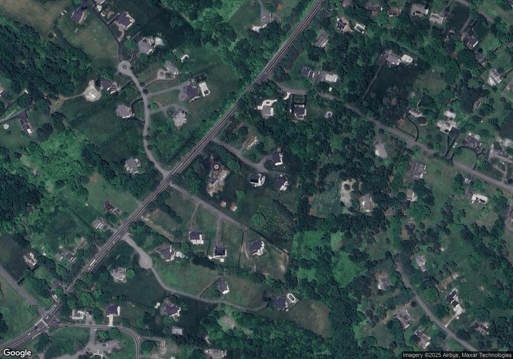
Map
Nearby Homes
- 13309 Chestnut Oak Dr
- 13300 Wye Oak Dr
- 0 Darnestown Rd
- 13330 Darnestown Rd
- 15602 Bondy Ln
- 14824 Turkey Foot Rd
- 13025 Chestnut Oak Dr
- 15205 Quail Run Dr
- 12907 Quail Run Ct
- 12902 Quail Run Ct
- Millie Plan at Quail Run Landing - Estates at Quail Run
- Chito Plan at Quail Run Landing - Estates at Quail Run
- Chandler Plan at Quail Run Landing - Estates at Quail Run
- 15613 Ancient Oak Dr
- 14209 Seneca Rd
- 14503 Falling Leaf Ct
- 12827 Tern Dr
- 15612 Norman Dr
- 12637 Lloydminster Dr
- 12709 War Admiral Way
- 13608 Darnestown Rd
- 13612 Darnestown Rd
- 13606 Darnestown Rd
- 13700 Darnestown Rd
- 13604 Darnestown Rd
- 13704 Darnestown Rd
- 13702 Darnestown Rd
- 13410 Chestnut Oak Dr
- 13406 Chestnut Oak Dr
- 15208 Country Glen Ct
- 13706 Darnestown Rd
- 15200 Country Glen Ct
- 15212 Country Glen Ct
- 15301 Masonwood Dr
- 15208 Water Oak Dr
- 15305 Masonwood Dr
- 15204 Water Oak Dr
- 15300 Masonwood Dr
- 13400 Chestnut Oak Dr
- 15204 Country Glen Ct