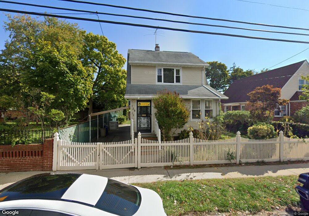
13611 219th St Springfield Gardens, NY 11413
Laurelton NeighborhoodEstimated Value: $689,000 - $776,000
--
Bed
--
Bath
1,600
Sq Ft
$457/Sq Ft
Est. Value
About This Home
This home is located at 13611 219th St, Springfield Gardens, NY 11413 and is currently estimated at $730,445, approximately $456 per square foot. 13611 219th St is a home located in Queens County with nearby schools including Cynthia Jenkins School, Collaborative Arts Middle School, and Merrick Academy Charter School.
Ownership History
Date
Name
Owned For
Owner Type
Purchase Details
Closed on
Jun 18, 2008
Sold by
Lewis Delroy R and Lewis Pearl E
Bought by
Roberson Sherese
Current Estimated Value
Home Financials for this Owner
Home Financials are based on the most recent Mortgage that was taken out on this home.
Original Mortgage
$386,943
Outstanding Balance
$247,792
Interest Rate
6.01%
Mortgage Type
Purchase Money Mortgage
Estimated Equity
$482,653
Create a Home Valuation Report for This Property
The Home Valuation Report is an in-depth analysis detailing your home's value as well as a comparison with similar homes in the area
Home Values in the Area
Average Home Value in this Area
Purchase History
| Date | Buyer | Sale Price | Title Company |
|---|---|---|---|
| Roberson Sherese | $390,000 | -- | |
| Roberson Sherese | $390,000 | -- |
Source: Public Records
Mortgage History
| Date | Status | Borrower | Loan Amount |
|---|---|---|---|
| Open | Roberson Sherese | $386,943 | |
| Closed | Roberson Sherese | $386,943 |
Source: Public Records
Tax History Compared to Growth
Tax History
| Year | Tax Paid | Tax Assessment Tax Assessment Total Assessment is a certain percentage of the fair market value that is determined by local assessors to be the total taxable value of land and additions on the property. | Land | Improvement |
|---|---|---|---|---|
| 2025 | $5,159 | $28,663 | $8,452 | $20,211 |
| 2024 | $5,171 | $27,086 | $9,478 | $17,608 |
| 2023 | $5,159 | $27,086 | $9,751 | $17,335 |
| 2022 | $5,070 | $36,780 | $13,500 | $23,280 |
| 2021 | $5,032 | $30,480 | $13,500 | $16,980 |
| 2020 | $4,760 | $33,480 | $13,500 | $19,980 |
| 2019 | $4,429 | $30,600 | $13,500 | $17,100 |
| 2018 | $4,304 | $22,572 | $9,939 | $12,633 |
| 2017 | $4,259 | $22,363 | $10,615 | $11,748 |
| 2016 | $3,908 | $22,363 | $10,615 | $11,748 |
| 2015 | $2,325 | $19,905 | $10,633 | $9,272 |
| 2014 | $2,325 | $18,810 | $9,963 | $8,847 |
Source: Public Records
Map
Nearby Homes
- 136-3 220th St
- 22023 137th Ave
- 136-18 221st St
- 137-28 220th St
- 218-04 137th Ave
- 21823 138th Ave
- 22019 135th Ave
- 22111 136th Ave
- 220-24 134th Rd
- 13538 223rd St
- 13512 223rd St
- 21611 135th Ave
- 137-26 224th St
- 21908 138th Rd
- 134-15 221st St
- 21608 Merrick Blvd
- 223-12 134th Rd
- 133-15 220th St
- 139-16 219th St
- 135-28 226th St
- 136-11 219th St
- 136-27 219th St
- 13617 219th St
- 13617 219th St Unit 1Fl
- 13617 219th St
- 136-30 136 Ave
- 13621 219th St
- 136-21 219th St
- 13612 220th St
- 13623 219th St
- 13616 220th St
- 13608 220th St
- 136-08 220th St
- 13604 220th St
- 136-20 136 Ave
- 21824 136th Ave
- 13602 220th St
- 13627 219th St
- 13640 219th St
- 13624 220th St