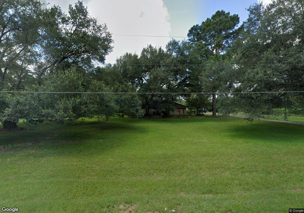
13611 Decker Dr Magnolia, TX 77355
Estimated Value: $311,000 - $591,897
--
Bed
2
Baths
2,423
Sq Ft
$198/Sq Ft
Est. Value
About This Home
This home is located at 13611 Decker Dr, Magnolia, TX 77355 and is currently estimated at $479,224, approximately $197 per square foot. 13611 Decker Dr is a home located in Montgomery County with nearby schools including Decker Prairie Elementary School, Tomball Intermediate School, and Tomball Junior High School.
Ownership History
Date
Name
Owned For
Owner Type
Purchase Details
Closed on
Nov 20, 2020
Sold by
Hayes Bruce F and Hayes Mary Lynne
Bought by
Hayes Robert G
Current Estimated Value
Home Financials for this Owner
Home Financials are based on the most recent Mortgage that was taken out on this home.
Original Mortgage
$180,000
Outstanding Balance
$160,174
Interest Rate
2.8%
Mortgage Type
New Conventional
Estimated Equity
$319,050
Purchase Details
Closed on
Jan 28, 2011
Sold by
Webb Isabel Griffin and Bevans Jim M
Bought by
Hayes Bruce F and Hayes Mary Lynne
Purchase Details
Closed on
Sep 1, 1982
Bought by
Hayes Bruce F and Mary Lynne
Create a Home Valuation Report for This Property
The Home Valuation Report is an in-depth analysis detailing your home's value as well as a comparison with similar homes in the area
Home Values in the Area
Average Home Value in this Area
Purchase History
| Date | Buyer | Sale Price | Title Company |
|---|---|---|---|
| Hayes Robert G | -- | None Available | |
| Hayes Bruce F | -- | Alamo Title Company | |
| Hayes Bruce F | -- | -- |
Source: Public Records
Mortgage History
| Date | Status | Borrower | Loan Amount |
|---|---|---|---|
| Open | Hayes Robert G | $180,000 |
Source: Public Records
Tax History Compared to Growth
Tax History
| Year | Tax Paid | Tax Assessment Tax Assessment Total Assessment is a certain percentage of the fair market value that is determined by local assessors to be the total taxable value of land and additions on the property. | Land | Improvement |
|---|---|---|---|---|
| 2025 | $5,883 | $479,874 | -- | -- |
| 2024 | $5,883 | $436,249 | -- | -- |
| 2023 | $5,231 | $396,590 | $302,820 | $110,180 |
| 2022 | $7,630 | $413,000 | $302,820 | $110,180 |
| 2021 | $6,298 | $327,760 | $176,650 | $151,110 |
| 2020 | $6,575 | $328,060 | $176,650 | $151,410 |
| 2019 | $6,109 | $309,430 | $176,650 | $132,780 |
| 2018 | $4,436 | $213,830 | $0 | $0 |
| 2017 | $4,456 | $214,130 | $80,750 | $133,380 |
| 2016 | $4,464 | $214,530 | $80,750 | $133,780 |
| 2015 | $4,053 | $191,200 | $50,470 | $140,730 |
| 2014 | $4,053 | $191,600 | $50,470 | $141,130 |
Source: Public Records
Map
Nearby Homes
- 13506 Stagecoach Rd
- 33819 Ansley Rd
- 2103 Diane St
- 2007 Diane St
- 1215 Tallow Park Ln
- 1014 Lakemont Bend Ln
- 1439 Northwood Bluff Ln
- 1004 Ivy Meadow Ln
- 35425 Woodtrace Cir
- 13200 N Decker Dr
- 1005 Ivy Meadow Ln
- 1426 Northwood Bluff Ln
- TBD Stagecoach Rd
- 2008 Green Terrace Ln
- 14810 Timberleaf Dr
- 2102 Candy St
- 902 Falcon Hollow Ln
- 915 Falcon Hollow Ln
- 514 Pearl View Ln
- 25717 Merino Ct
- 13607 Decker Dr
- 33047 Decker Prairie Rd
- 13511 Decker Dr
- 33055 Decker Prairie Rd
- 13435 Decker Dr
- 13435 Decker Dr
- 13620 Decker Dr
- 27210 Decker Dr
- 27641 Decker Dr
- 26127 Decker Dr
- 27002B Decker Dr
- 33051 Decker Prairie Rd
- 13730 Decker Dr
- 33049 Decker Prairie Rd
- 13419 Decker Dr
- 13606 Decker Dr
- 33053 Decker Prairie Rd
- 33203 Decker Prairie Rd
- 13715 Stagecoach Rd
- 13403 Decker Dr