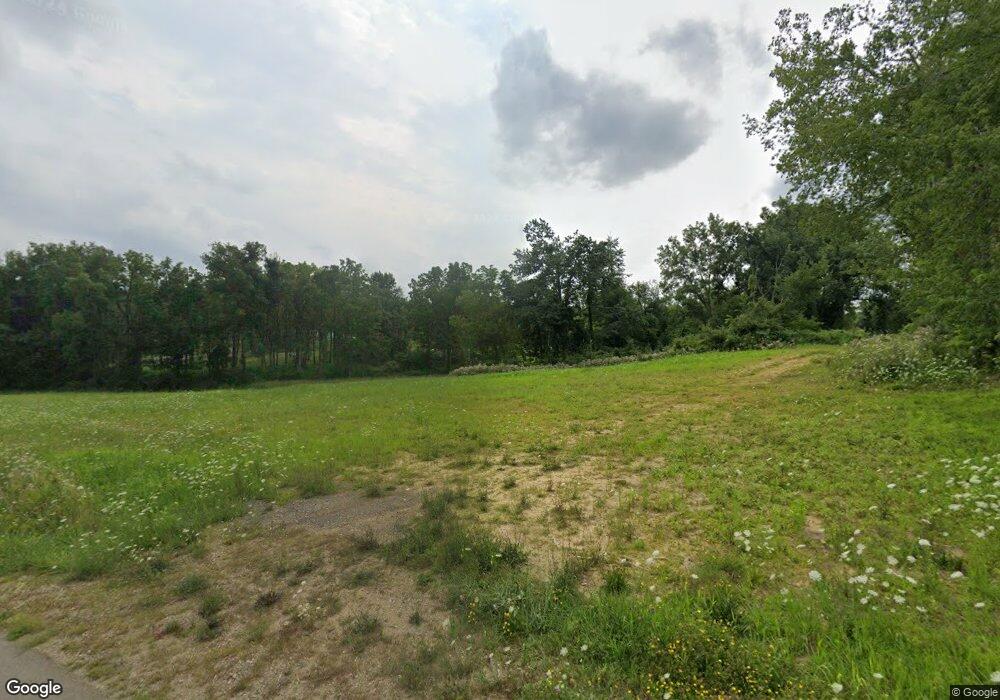
13612 Woodbridge Rd Camden, MI 49232
Estimated Value: $43,000 - $287,000
--
Bed
--
Bath
--
Sq Ft
0.5
Acres
About This Home
This home is located at 13612 Woodbridge Rd, Camden, MI 49232 and is currently estimated at $132,333. 13612 Woodbridge Rd is a home located in Hillsdale County with nearby schools including Camden-Frontier K-8 School and Camden-Frontier High School.
Ownership History
Date
Name
Owned For
Owner Type
Purchase Details
Closed on
Sep 27, 2018
Sold by
Rheinschmidt Sandra K
Bought by
Lake Diane Land Lc
Current Estimated Value
Purchase Details
Closed on
Nov 23, 2010
Sold by
Rutila Lori A and Rheinschmidt Sandra K
Bought by
Rutila Lori A and Rheinschmidt Sandra K
Purchase Details
Closed on
May 25, 2010
Sold by
Rupp Terry
Bought by
Rutila Lori A and Rheinschmidt Sandra K
Purchase Details
Closed on
Jul 22, 2009
Sold by
Rupp Terry
Bought by
Rutila Lori A and Rheinschmidt Sandra K
Purchase Details
Closed on
Jan 21, 2003
Sold by
Wright Ted and Todd Danny R
Bought by
Rupp Terry L
Purchase Details
Closed on
Jan 16, 1996
Bought by
Rupp Terry
Create a Home Valuation Report for This Property
The Home Valuation Report is an in-depth analysis detailing your home's value as well as a comparison with similar homes in the area
Home Values in the Area
Average Home Value in this Area
Purchase History
| Date | Buyer | Sale Price | Title Company |
|---|---|---|---|
| Lake Diane Land Lc | $500 | None Available | |
| Rutila Lori A | -- | None Available | |
| Rutila Lori A | $3,200 | None Available | |
| Rutila Lori A | -- | Midstate Title-Warranty Titl | |
| Rupp Terry L | -- | -- | |
| Rupp Terry | $600 | -- |
Source: Public Records
Tax History Compared to Growth
Tax History
| Year | Tax Paid | Tax Assessment Tax Assessment Total Assessment is a certain percentage of the fair market value that is determined by local assessors to be the total taxable value of land and additions on the property. | Land | Improvement |
|---|---|---|---|---|
| 2025 | $14 | $4,200 | $0 | $0 |
| 2024 | $4 | $4,200 | $0 | $0 |
| 2023 | $4 | $4,200 | $0 | $0 |
| 2022 | $13 | $1,900 | $0 | $0 |
| 2021 | $13 | $1,200 | $0 | $0 |
| 2020 | $13 | $300 | $0 | $0 |
| 2019 | $105 | $2,500 | $0 | $0 |
| 2018 | $84 | $2,500 | $0 | $0 |
| 2017 | $79 | $3,230 | $0 | $0 |
| 2016 | $81 | $6,860 | $0 | $0 |
| 2015 | $21 | $6,860 | $0 | $0 |
| 2013 | $20 | $2,950 | $0 | $0 |
| 2012 | $20 | $2,950 | $0 | $0 |
Source: Public Records
Map
Nearby Homes
- 13857 E Diane Dr
- 13791 E Diane Dr
- 14600 W Diane Dr
- 14401 Woodbridge Rd
- 13551 Hillsdale Rd
- 14934 Heather Ct
- 11794 Clark Rd
- 623-624 Yuma Trail
- 0 W Territorial Rd Unit 25043960
- 362 Wasco Trail
- 8800 W Territorial Rd
- 9791 S Hillsdale Rd
- 15791 Rice Rd
- 199 Shoshone Trail
- 988-989 Seneca Dr
- 14165 Crampton Rd
- 207 Modoc Trail
- 155 Navajo Trail
- 4002 & 4014 Meadowlawn Dr
- 14621 Laura Ln
- 13636 Woodbridge Rd
- 13660 Woodbridge Rd
- 1997 Horn Dr
- 1997 Genoa Dr
- 13647 Woodbridge Rd
- 2005 W Cellars Rd
- 13618 Monte Carlo Dr
- 13609 Monte Carlo Dr
- 13642 Monte Carlo Dr
- 1978 W Cellars Rd
- 13654 Monte Carlo Dr
- 13558 Monte Carlo Dr
- 13621 Monte Carlo Dr
- 0 Monte Carlo Dr
- 13634 Monte Carlo Dr
- 13620 Monte Carlo Dr
- 13666 Monte Carlo Dr
- 13747 Woodbridge Rd
- 13716 Rowen Dr
- 13620 Monte Carlo Dr