13614 Slab Branch Rd Nahunta, GA 31553
Estimated Value: $74,000 - $267,000
4
Beds
2
Baths
1,584
Sq Ft
$90/Sq Ft
Est. Value
About This Home
This home is located at 13614 Slab Branch Rd, Nahunta, GA 31553 and is currently estimated at $143,110, approximately $90 per square foot. 13614 Slab Branch Rd is a home with nearby schools including Nahunta Primary School, Nahunta Elementary School, and Brantley County Middle School.
Ownership History
Date
Name
Owned For
Owner Type
Purchase Details
Closed on
Feb 17, 2007
Sold by
Gibson Land Co Llc
Bought by
Howell James A and Howell Marianne E
Current Estimated Value
Home Financials for this Owner
Home Financials are based on the most recent Mortgage that was taken out on this home.
Original Mortgage
$24,000
Interest Rate
6.16%
Mortgage Type
New Conventional
Purchase Details
Closed on
Feb 6, 2007
Sold by
Farquhar Ronald
Bought by
Gibson Land Co Llc
Home Financials for this Owner
Home Financials are based on the most recent Mortgage that was taken out on this home.
Original Mortgage
$24,000
Interest Rate
6.16%
Mortgage Type
New Conventional
Create a Home Valuation Report for This Property
The Home Valuation Report is an in-depth analysis detailing your home's value as well as a comparison with similar homes in the area
Home Values in the Area
Average Home Value in this Area
Purchase History
| Date | Buyer | Sale Price | Title Company |
|---|---|---|---|
| Howell James A | $25,000 | -- | |
| Gibson Land Co Llc | $22,089 | -- |
Source: Public Records
Mortgage History
| Date | Status | Borrower | Loan Amount |
|---|---|---|---|
| Closed | Howell James A | $24,000 |
Source: Public Records
Tax History Compared to Growth
Tax History
| Year | Tax Paid | Tax Assessment Tax Assessment Total Assessment is a certain percentage of the fair market value that is determined by local assessors to be the total taxable value of land and additions on the property. | Land | Improvement |
|---|---|---|---|---|
| 2024 | $709 | $14,874 | $4,457 | $10,417 |
| 2023 | $322 | $14,469 | $4,052 | $10,417 |
| 2022 | $668 | $13,469 | $4,052 | $9,417 |
| 2021 | $401 | $6,290 | $4,052 | $2,238 |
| 2020 | $662 | $13,258 | $4,052 | $9,206 |
| 2019 | $661 | $13,258 | $4,052 | $9,206 |
| 2018 | $488 | $14,359 | $5,153 | $9,206 |
| 2017 | $685 | $20,141 | $5,153 | $14,988 |
| 2016 | $904 | $20,141 | $5,153 | $14,988 |
| 2015 | -- | $20,141 | $5,153 | $14,988 |
Source: Public Records
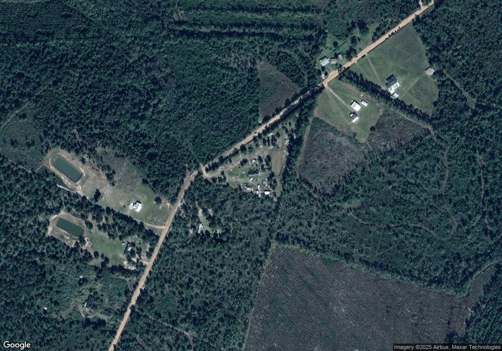
Map
Nearby Homes
- 0 Caney Bay Rd
- 0-0 Foxwood Rd
- 0 Foxwood Rd
- 0 Bachlott Church Rd Unit 25773424
- 0 Bachlott Church Rd Unit 10633876
- 0 Bachlott Church Rd Unit 1657673
- 0 Bachlott Church Rd Unit 163572
- 0 Riverside Rd Unit 25397127
- 7126 U S 301
- 29 Chisholm St
- 19067 U S 301
- 105 Crawford Rd
- 76 Ervin St
- 92 Ervin St
- 91 Cane Cir
- 25 Jefferson St
- 387 Burton St
- 46 Christopher Cir
- 20.55 ACRES U S Highway 82
- 537 Seward Trail
- 13449 Slab Branch Rd
- 13750 Slab Branch Rd
- 13753 Slab Branch Rd
- 13482 Slab Branch Rd
- 13314 Slab Branch Rd
- 13136 Slab Branch Rd
- 13136 Slab Branch Rd
- 14238 Slab Branch Rd
- 12840 Slab Branch Rd
- 10.78 Slab Branch Rd Unit 10 AC
- 4142 Caney Bay Rd
- 0 Slab Branch Rd Unit 16665
- 0 Slab Branch Rd Unit 10 AC 8371056
- 14432 Slab Branch Rd
- 14452 Slab Branch Rd
- 4637 Caney Bay Rd
- 4573 Caney Bay Rd