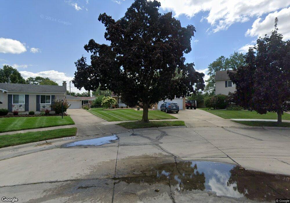
13615 Karl St Southgate, MI 48195
Estimated Value: $220,503 - $268,000
3
Beds
2
Baths
1,317
Sq Ft
$182/Sq Ft
Est. Value
About This Home
This home is located at 13615 Karl St, Southgate, MI 48195 and is currently estimated at $239,126, approximately $181 per square foot. 13615 Karl St is a home located in Wayne County with nearby schools including Fordline Elementary School, Davidson Middle School, and Southgate Anderson High School.
Ownership History
Date
Name
Owned For
Owner Type
Purchase Details
Closed on
Mar 29, 2018
Sold by
Boshell Mary A and Wrase Pamela Wallace
Bought by
Wrase Pamela Wallace
Current Estimated Value
Home Financials for this Owner
Home Financials are based on the most recent Mortgage that was taken out on this home.
Original Mortgage
$100,000
Interest Rate
4.45%
Mortgage Type
Credit Line Revolving
Purchase Details
Closed on
Jan 22, 2010
Sold by
Boshell Mary A
Bought by
Boshell Mary A
Home Financials for this Owner
Home Financials are based on the most recent Mortgage that was taken out on this home.
Original Mortgage
$75,000
Interest Rate
5%
Mortgage Type
New Conventional
Purchase Details
Closed on
Dec 28, 2009
Sold by
Boshell Mary A and Ward Zona
Bought by
Boshell Mary A
Home Financials for this Owner
Home Financials are based on the most recent Mortgage that was taken out on this home.
Original Mortgage
$75,000
Interest Rate
5%
Mortgage Type
New Conventional
Create a Home Valuation Report for This Property
The Home Valuation Report is an in-depth analysis detailing your home's value as well as a comparison with similar homes in the area
Home Values in the Area
Average Home Value in this Area
Purchase History
| Date | Buyer | Sale Price | Title Company |
|---|---|---|---|
| Wrase Pamela Wallace | -- | Minnesota Title Agency | |
| Boshell Mary A | -- | Michigan Title Insurance Age | |
| Boshell Mary A | -- | Michigan Title Insurance Age |
Source: Public Records
Mortgage History
| Date | Status | Borrower | Loan Amount |
|---|---|---|---|
| Closed | Wrase Pamela Wallace | $100,000 | |
| Closed | Boshell Mary A | $75,000 |
Source: Public Records
Tax History
| Year | Tax Paid | Tax Assessment Tax Assessment Total Assessment is a certain percentage of the fair market value that is determined by local assessors to be the total taxable value of land and additions on the property. | Land | Improvement |
|---|---|---|---|---|
| 2025 | $3,069 | $111,900 | $0 | $0 |
| 2024 | $2,941 | $105,400 | $0 | $0 |
| 2023 | $2,799 | $97,600 | $0 | $0 |
| 2022 | $3,231 | $89,000 | $0 | $0 |
| 2021 | $3,146 | $79,300 | $0 | $0 |
| 2020 | $3,095 | $73,000 | $0 | $0 |
| 2019 | $3,057 | $70,500 | $0 | $0 |
| 2018 | $2,345 | $67,200 | $0 | $0 |
| 2017 | $1,350 | $63,900 | $0 | $0 |
| 2016 | $2,832 | $59,600 | $0 | $0 |
| 2015 | $4,790 | $51,100 | $0 | $0 |
| 2013 | $4,640 | $47,500 | $0 | $0 |
| 2012 | $2,086 | $45,700 | $8,800 | $36,900 |
Source: Public Records
Map
Nearby Homes
- 13621 Mulberry St
- 13620 Poplar St
- 0 Poplar St
- 13367 Fordline St
- 0 Fordline Unit 20261010397
- 13419 Shire Ln Unit 26
- 13407 Shire Ln Unit 27
- 14231 Fordline St
- 14509 Poplar St
- 13680 Agnes St
- 13470 Agnes St
- 14618 Fordline St
- 14370 Pearl St
- 14070 Longtin St
- 14212 Northline Rd
- 13366 Trenton Rd
- 12661 Fordline St
- 14706 Eureka Rd
- 14716 Eureka Rd
- 14940 Irene St
- 13625 Karl St
- 13605 Karl St
- 13658 Mulberry St
- 13640 Mulberry St
- 13694 Mulberry St
- 13599 Karl St
- 13637 Karl St
- 13622 Mulberry St
- 13587 Karl St
- 13649 Karl St
- 13612 Karl St
- 13560 Mulberry St
- 13575 Karl St
- 13661 Karl St
- 13656 Karl St
- 13677 Mulberry St
- 13665 Mulberry St
- 13586 Karl St
- 13653 Mulberry St
- 13701 Mulberry St
Your Personal Tour Guide
Ask me questions while you tour the home.