13617 Highway 66 Ashland, OR 97520
Estimated Value: $622,159 - $753,000
3
Beds
2
Baths
2,767
Sq Ft
$247/Sq Ft
Est. Value
About This Home
This home is located at 13617 Highway 66, Ashland, OR 97520 and is currently estimated at $684,290, approximately $247 per square foot. 13617 Highway 66 is a home located in Jackson County with nearby schools including Pinehurst Elementary School.
Ownership History
Date
Name
Owned For
Owner Type
Purchase Details
Closed on
Sep 16, 2014
Sold by
Worthington Mathew and Worthington Linda Maxwel
Bought by
Worthington Revocable Living Trust
Current Estimated Value
Purchase Details
Closed on
Jul 6, 2001
Sold by
Worthington Matthew
Bought by
Worthington Matthew and Worthington Linda Maxwell
Purchase Details
Closed on
Oct 9, 1997
Sold by
Mckinley George
Bought by
Worthington Matthew
Create a Home Valuation Report for This Property
The Home Valuation Report is an in-depth analysis detailing your home's value as well as a comparison with similar homes in the area
Home Values in the Area
Average Home Value in this Area
Purchase History
| Date | Buyer | Sale Price | Title Company |
|---|---|---|---|
| Worthington Revocable Living Trust | -- | None Available | |
| Worthington Matthew | -- | Jackson County Title | |
| Worthington Matthew | -- | Jackson County Title |
Source: Public Records
Tax History Compared to Growth
Tax History
| Year | Tax Paid | Tax Assessment Tax Assessment Total Assessment is a certain percentage of the fair market value that is determined by local assessors to be the total taxable value of land and additions on the property. | Land | Improvement |
|---|---|---|---|---|
| 2025 | $2,503 | $282,345 | $14,815 | $267,530 |
| 2024 | $2,503 | $274,240 | $14,500 | $259,740 |
| 2023 | $2,423 | $266,371 | $14,191 | $252,180 |
| 2022 | $2,342 | $266,371 | $14,191 | $252,180 |
| 2021 | $2,080 | $235,909 | $13,899 | $222,010 |
| 2020 | $2,022 | $229,163 | $13,613 | $215,550 |
| 2019 | $1,968 | $216,249 | $13,059 | $203,190 |
| 2018 | $1,910 | $210,070 | $12,790 | $197,280 |
| 2017 | $1,868 | $210,070 | $12,790 | $197,280 |
| 2016 | $1,776 | $198,259 | $12,289 | $185,970 |
| 2015 | $1,758 | $198,259 | $12,289 | $185,970 |
| 2014 | $1,651 | $187,119 | $11,809 | $175,310 |
Source: Public Records
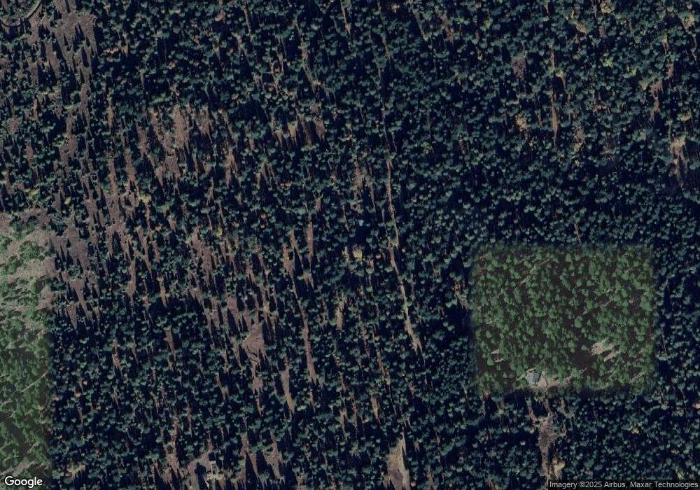
Map
Nearby Homes
- 0 Soda Mountain Rd Unit 133485562
- 0 Soda Mountain Rd Unit 220205177
- 16799 Highway 66
- 1940 Soda Mountain Rd
- 827 Tyler Creek Rd
- 1525 Baldy Creek Rd
- 17637 Oregon 66
- 8612 Highway 66
- 8612 Oregon 66
- 7979 Hyatt Prairie Rd Unit 32
- 7979 Hyatt Prairie Rd Unit 46
- 7979 Hyatt Prairie Rd Unit 43
- 7979 Hyatt Prairie Rd Unit 42
- 7979 Hyatt Prairie Rd Unit 45
- 7900 Hyatt Prairie Rd Unit 20
- 7900 Hyatt Prairie Rd Unit 2
- 7890 Hyatt Prairie Rd
- 7874 Hyatt Prairie Rd
- 108 Baldy Creek Rd
- 7668 Hyatt Prairie Rd
- 13401 Highway 66
- 13895 Highway 66
- 13451 Highway 66
- 13405 Highway 66
- 13395 Oregon 66
- 13395 Highway 66
- 13641 Highway 66
- 12915 Highway 66
- 12821 Hwy 66
- 12821 Highway 66
- 13403 Highway 66
- 14201 Highway 66
- 13875 Highway 66
- 13350 Highway 66
- 13409 Highway 66
- 14059 Hwy 66
- 14059 Highway 66
- 13885 Highway 66
- 14233 Highway 66
- 13400 Highway 66