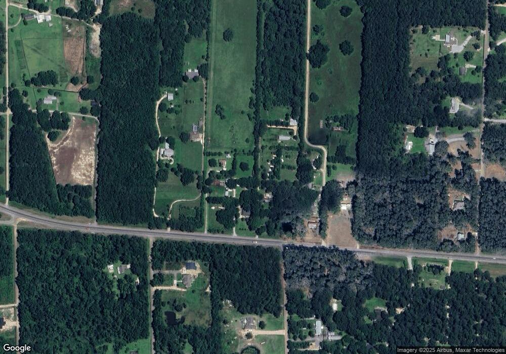
13619 Highway 190 Covington, LA 70433
Estimated Value: $140,579 - $187,000
--
Bed
--
Bath
938
Sq Ft
$172/Sq Ft
Est. Value
About This Home
This home is located at 13619 Highway 190, Covington, LA 70433 and is currently estimated at $160,895, approximately $171 per square foot. 13619 Highway 190 is a home with nearby schools including Madisonville Elementary School, Joseph B. Lancaster Elementary School, and Madisonville Junior High School.
Ownership History
Date
Name
Owned For
Owner Type
Purchase Details
Closed on
Mar 7, 2025
Sold by
Rmh 2023-3 Trust and Greenspring Capital Management Llc
Bought by
Phine Properties Llc
Current Estimated Value
Home Financials for this Owner
Home Financials are based on the most recent Mortgage that was taken out on this home.
Original Mortgage
$148,500
Outstanding Balance
$147,753
Interest Rate
6.96%
Mortgage Type
Credit Line Revolving
Estimated Equity
$13,142
Purchase Details
Closed on
Aug 11, 2015
Sold by
Taylor Raleigh C J
Bought by
Fm Raleigh C Taylor and Taylor Raleigh C
Create a Home Valuation Report for This Property
The Home Valuation Report is an in-depth analysis detailing your home's value as well as a comparison with similar homes in the area
Home Values in the Area
Average Home Value in this Area
Purchase History
| Date | Buyer | Sale Price | Title Company |
|---|---|---|---|
| Phine Properties Llc | $148,500 | None Listed On Document | |
| Fm Raleigh C Taylor | -- | -- |
Source: Public Records
Mortgage History
| Date | Status | Borrower | Loan Amount |
|---|---|---|---|
| Open | Phine Properties Llc | $148,500 |
Source: Public Records
Tax History Compared to Growth
Tax History
| Year | Tax Paid | Tax Assessment Tax Assessment Total Assessment is a certain percentage of the fair market value that is determined by local assessors to be the total taxable value of land and additions on the property. | Land | Improvement |
|---|---|---|---|---|
| 2024 | $433 | $10,880 | $3,100 | $7,780 |
| 2023 | $433 | $9,644 | $2,500 | $7,144 |
| 2022 | $29,527 | $9,644 | $2,500 | $7,144 |
| 2021 | $295 | $9,644 | $2,500 | $7,144 |
| 2020 | $295 | $9,644 | $2,500 | $7,144 |
| 2019 | $1,059 | $7,447 | $1,420 | $6,027 |
| 2018 | $1,060 | $7,447 | $1,420 | $6,027 |
| 2017 | $1,068 | $7,447 | $1,420 | $6,027 |
| 2016 | $1,075 | $7,114 | $1,087 | $6,027 |
| 2015 | $1,062 | $6,873 | $1,050 | $5,823 |
| 2014 | $1,051 | $6,873 | $1,050 | $5,823 |
| 2013 | $1,052 | $6,873 | $1,050 | $5,823 |
Source: Public Records
Map
Nearby Homes
- 743 Solomon Dr
- 747 Solomon Dr
- 739 Solomon Dr
- 751 Solomon (Lot 276) Dr
- 752 Solomon Dr
- 735 Solomon Dr
- 756 Solomon Dr
- 336 Mark Dr
- 755 Solomon Dr
- 731 Solomon Dr
- 332 Mark Dr
- 760 Solomon Dr
- 759 Solomon (Lot 278) Dr
- 759 Solomon Dr
- 316 Mark Dr
- 345 Mark Dr
- 727 Solomon Dr
- 328 Mark Dr
- 764 Solomon Dr
- 337 Mark Dr