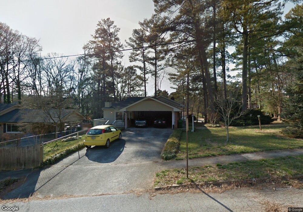
1362 Faraday Place Unit 4 Decatur, GA 30033
North Druid Woods NeighborhoodEstimated Value: $517,000 - $574,000
3
Beds
2
Baths
2,428
Sq Ft
$223/Sq Ft
Est. Value
About This Home
This home is located at 1362 Faraday Place Unit 4, Decatur, GA 30033 and is currently estimated at $542,443, approximately $223 per square foot. 1362 Faraday Place Unit 4 is a home located in DeKalb County with nearby schools including Laurel Ridge Elementary School, Druid Hills Middle School, and Druid Hills High School.
Ownership History
Date
Name
Owned For
Owner Type
Purchase Details
Closed on
Jun 18, 2004
Sold by
Stewart Herbert J
Bought by
Barrett Lynn
Current Estimated Value
Home Financials for this Owner
Home Financials are based on the most recent Mortgage that was taken out on this home.
Original Mortgage
$189,600
Outstanding Balance
$89,562
Interest Rate
5.5%
Mortgage Type
New Conventional
Estimated Equity
$452,881
Purchase Details
Closed on
Jun 14, 1999
Sold by
Johnson Frances M
Bought by
Stewart Frances M and Stewart Herbert J
Create a Home Valuation Report for This Property
The Home Valuation Report is an in-depth analysis detailing your home's value as well as a comparison with similar homes in the area
Home Values in the Area
Average Home Value in this Area
Purchase History
| Date | Buyer | Sale Price | Title Company |
|---|---|---|---|
| Barrett Lynn | $237,000 | -- | |
| Barrett Lynn | -- | -- | |
| Stewart Frances M | -- | -- |
Source: Public Records
Mortgage History
| Date | Status | Borrower | Loan Amount |
|---|---|---|---|
| Open | Barrett Lynn | $189,600 |
Source: Public Records
Tax History Compared to Growth
Tax History
| Year | Tax Paid | Tax Assessment Tax Assessment Total Assessment is a certain percentage of the fair market value that is determined by local assessors to be the total taxable value of land and additions on the property. | Land | Improvement |
|---|---|---|---|---|
| 2025 | $5,823 | $213,200 | $41,120 | $172,080 |
| 2024 | $5,694 | $201,120 | $41,120 | $160,000 |
| 2023 | $5,694 | $185,600 | $41,120 | $144,480 |
| 2022 | $4,191 | $137,200 | $41,120 | $96,080 |
| 2021 | $4,000 | $128,920 | $40,000 | $88,920 |
| 2020 | $4,279 | $140,760 | $40,000 | $100,760 |
| 2019 | $4,240 | $140,640 | $40,000 | $100,640 |
| 2018 | $3,626 | $119,440 | $40,000 | $79,440 |
| 2017 | $3,952 | $122,800 | $16,000 | $106,800 |
| 2016 | $3,720 | $116,280 | $13,440 | $102,840 |
| 2014 | $3,364 | $102,000 | $13,440 | $88,560 |
Source: Public Records
Map
Nearby Homes
- 2951 Haralson Rd
- 2396 Lawrenceville Hwy Unit F
- 2396 Lawrenceville Hwy Unit V
- 2396 Lawrenceville Hwy
- 2386 Lawrenceville Hwy Unit G
- 3023 Mount Olive Dr
- 2388 Lawrenceville Hwy Unit D
- 3080 Turman Cir
- 2427 Lawrenceville Hwy Unit 4
- 3084 Turman Cir
- 1300 Hopkins Dr
- 1263 Blueberry Trail
- 1463 Crescent Walk
- 3107 Turman Cir
- 2700 Hawaii Ct
- 3038 Flamingo Dr
- 2731 Hilo Ct
- 1354 Faraday Place
- 2871 Delcourt Dr
- 2882 Delcourt Dr
- 1348 Faraday Place Unit 2
- 2872 Delcourt Dr
- 2895 Delcourt Dr Unit 4
- 3123 Mount Olive Dr
- 1357 Faraday Place Unit 4
- 3111 Mount Olive Dr
- 1351 Faraday Place
- 1342 Faraday Place
- 2894 Delcourt Dr
- 2862 Delcourt Dr
- 3208 Mount Olive Dr
- 1345 Faraday Place
- 3105 Mount Olive Dr Unit 1
- 0 Delcourt Dr Unit 7435409
- 0 Delcourt Dr Unit 7355404
- 0 Delcourt Dr Unit 7324451
- 0 Delcourt Dr Unit 7246403