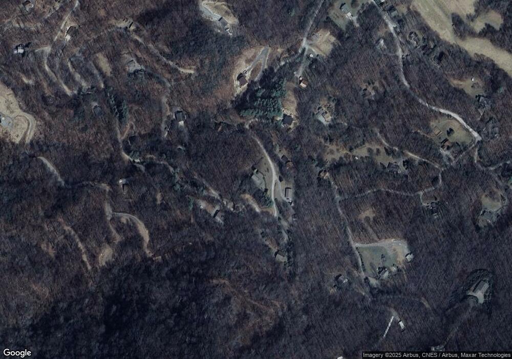
1362 Lentini Dr Waynesville, NC 28785
Estimated Value: $421,683 - $527,000
3
Beds
3
Baths
1,159
Sq Ft
$396/Sq Ft
Est. Value
About This Home
This home is located at 1362 Lentini Dr, Waynesville, NC 28785 and is currently estimated at $459,171, approximately $396 per square foot. 1362 Lentini Dr is a home located in Haywood County with nearby schools including Jonathan Valley Elementary School, Waynesville Middle, and Tuscola High.
Ownership History
Date
Name
Owned For
Owner Type
Purchase Details
Closed on
Jul 8, 2016
Sold by
Khandjian Jessica
Bought by
Khandjian Jessica and The Elaine Malone Greene Irrevocable Tru
Current Estimated Value
Purchase Details
Closed on
Jun 24, 2014
Sold by
Malone Nc Properties Llc
Bought by
Wiles Steve and Elaine Malone Greene Irrevocable Trust
Purchase Details
Closed on
Jan 4, 2007
Sold by
Lenwood Inc
Bought by
Malone Nc Properties Llc
Purchase Details
Closed on
Feb 9, 2006
Sold by
Malone Cleyon L
Bought by
Lenwood Inc and John Young Company
Create a Home Valuation Report for This Property
The Home Valuation Report is an in-depth analysis detailing your home's value as well as a comparison with similar homes in the area
Home Values in the Area
Average Home Value in this Area
Purchase History
| Date | Buyer | Sale Price | Title Company |
|---|---|---|---|
| Khandjian Jessica | -- | Attorney | |
| Wiles Steve | -- | None Available | |
| Malone Nc Properties Llc | -- | None Available | |
| Lenwood Inc | -- | None Available |
Source: Public Records
Tax History Compared to Growth
Tax History
| Year | Tax Paid | Tax Assessment Tax Assessment Total Assessment is a certain percentage of the fair market value that is determined by local assessors to be the total taxable value of land and additions on the property. | Land | Improvement |
|---|---|---|---|---|
| 2025 | -- | $214,000 | $41,600 | $172,400 |
| 2024 | $1,486 | $214,000 | $41,600 | $172,400 |
| 2023 | $1,486 | $214,000 | $41,600 | $172,400 |
| 2022 | $1,454 | $214,000 | $41,600 | $172,400 |
| 2021 | $1,454 | $214,000 | $41,600 | $172,400 |
| 2020 | $1,307 | $175,300 | $41,600 | $133,700 |
| 2019 | $1,312 | $175,300 | $41,600 | $133,700 |
| 2018 | $1,312 | $175,300 | $41,600 | $133,700 |
| 2017 | $1,312 | $175,300 | $0 | $0 |
| 2016 | $1,258 | $172,000 | $0 | $0 |
| 2015 | $1,258 | $172,000 | $0 | $0 |
| 2014 | $1,143 | $172,000 | $0 | $0 |
Source: Public Records
Map
Nearby Homes
- 3 Michael Dr Unit 3
- 575 Twin Brook Dr
- 000 Songbird Trail
- 367 Biodome Dr
- 806 Twin Brook Dr Unit 6A,6B,7A,7B
- 61 Calm Creek Rd
- 8 Lots Frontier Way
- 31 Windsong Dr
- 0 Kitty Ln Unit CAR4270624
- 505 Middle Top Loop
- 574 Leatherwood Dr
- 28 Cadillac Point Rd
- 80 Kitty Ln
- 30 Cadillac Pointe Unit 30
- 30 Cadillac Pointe
- Lot 12 Roselyn Park
- Lot #55 Turn-A-bout Ct Unit Lot 55
- Lot 58 Turn About Ct
- 00 Buckeye Dr Unit 35
- 269 Oakstone Dr
- 1333 Lentini Dr
- 1277 Lentini Dr
- 1465 Lentini Dr
- 1268 Lentini Dr
- 1385 Lentini Dr
- 1221 Lentini Dr
- 470 Twin Brook Dr
- B2 Twin Brook Dr
- 101 Newkirk Rd
- 94 Michael Dr
- 1591 Lentini Dr
- 1190 Lentini Dr
- 1073 Lentini Dr
- 9999 Michael Dr
- 1595 Lentini Dr
- 590 Twin Brook Dr
- 1069 Lentini Dr
- 29 Newkirk Rd
- 162 Twin Brook Dr
- 0 Tiny Dr
