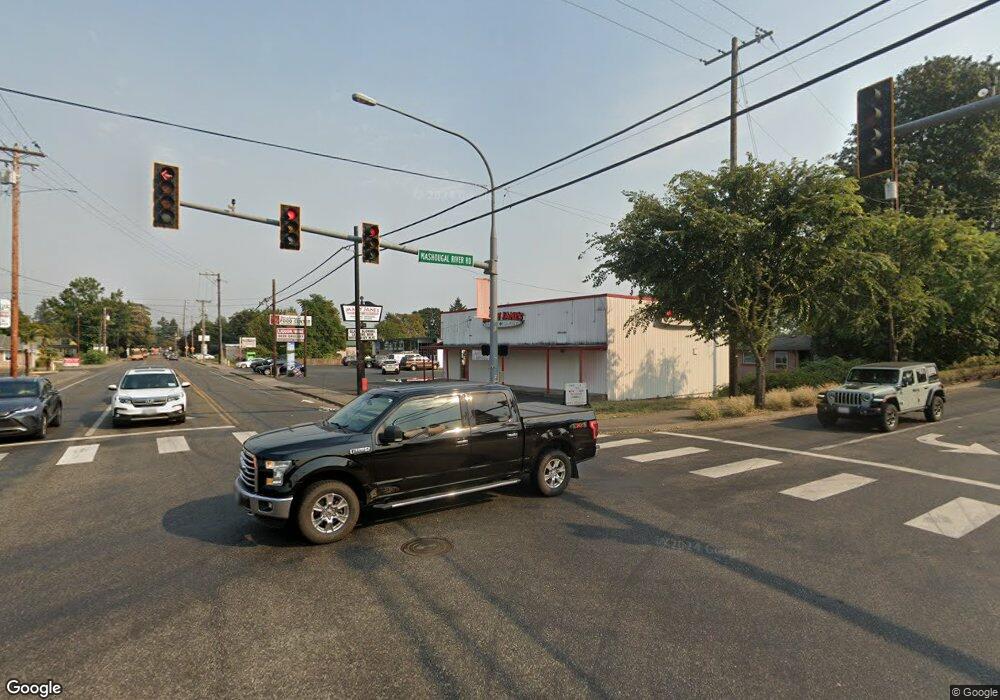
1362 NE Slade Rd Washougal, WA 98671
Estimated Value: $631,000 - $753,435
4
Beds
3
Baths
2,552
Sq Ft
$274/Sq Ft
Est. Value
About This Home
This home is located at 1362 NE Slade Rd, Washougal, WA 98671 and is currently estimated at $698,859, approximately $273 per square foot. 1362 NE Slade Rd is a home located in Clark County with nearby schools including Woodburn Elementary School, Liberty Middle School, and Camas High School.
Ownership History
Date
Name
Owned For
Owner Type
Purchase Details
Closed on
Jul 25, 2001
Sold by
Durham Barry T and Durham Deborah Joann
Bought by
Weidhuner Jason and Weidhuner Lori Ann Y
Current Estimated Value
Purchase Details
Closed on
Nov 19, 1999
Sold by
Durham Deborah Joann and Brown Deborah Joann
Bought by
Durham Barry T and Durham Deborah Joann
Home Financials for this Owner
Home Financials are based on the most recent Mortgage that was taken out on this home.
Original Mortgage
$85,000
Interest Rate
7.84%
Create a Home Valuation Report for This Property
The Home Valuation Report is an in-depth analysis detailing your home's value as well as a comparison with similar homes in the area
Home Values in the Area
Average Home Value in this Area
Purchase History
| Date | Buyer | Sale Price | Title Company |
|---|---|---|---|
| Weidhuner Jason | -- | Clark County Title | |
| Durham Barry T | -- | Clark County Title Company |
Source: Public Records
Mortgage History
| Date | Status | Borrower | Loan Amount |
|---|---|---|---|
| Previous Owner | Durham Barry T | $85,000 |
Source: Public Records
Tax History Compared to Growth
Tax History
| Year | Tax Paid | Tax Assessment Tax Assessment Total Assessment is a certain percentage of the fair market value that is determined by local assessors to be the total taxable value of land and additions on the property. | Land | Improvement |
|---|---|---|---|---|
| 2025 | $6,446 | $515,149 | $179,882 | $335,267 |
| 2024 | $5,683 | $635,688 | $283,050 | $352,638 |
| 2023 | $5,580 | $605,398 | $268,311 | $337,087 |
| 2022 | $5,336 | $570,330 | $233,873 | $336,457 |
| 2021 | $5,292 | $455,770 | $196,581 | $259,189 |
| 2020 | $5,485 | $420,155 | $189,124 | $231,031 |
| 2019 | $4,985 | $410,001 | $189,124 | $220,877 |
| 2018 | $5,290 | $407,815 | $0 | $0 |
| 2017 | $4,670 | $358,377 | $0 | $0 |
| 2016 | $4,269 | $344,871 | $0 | $0 |
| 2015 | $4,034 | $311,010 | $0 | $0 |
| 2014 | -- | $277,094 | $0 | $0 |
| 2013 | -- | $256,068 | $0 | $0 |
Source: Public Records
Map
Nearby Homes
- 0 SE Blair Rd
- 31801 SE 13th Cir
- 0 SE Blair-Residence Rd
- 29902 SE 30th St
- Newport Plan at Northside
- MacDonald Plan at Northside
- Linden Plan at Northside
- Cypress 3075 Plan at Northside
- Cypress 2802 Plan at Northside
- Cypress Prairie Plan at Northside
- Oakmont Plan at Northside
- Nehalem Plan at Northside
- Columbia Plan at Northside
- Cedar Plan at Northside
- Astoria Plan at Northside
- Tandem Plan at Northside
- Ash Plan at Northside
- Telluride Plan at Northside
- Camellia Prairie Plan at Northside
- Manzanita Plan at Northside
- 1044 SE Blair Rd
- 1036 SE Blair Rd
- 1032 SE Blair Rd
- 924 SE Blair Rd
- 909 SE Blair Rd
- 716 SE Blair Rd
- 1101 SE Blair Rd
- 1105 SE Blair Rd
- 1212 SE Blair Rd
- 1117 SE Blair Rd
- 31003 SE Krohn Rd
- 1320 SE Blair Rd
- 30706 SE Krohn Rd
- 30816 SE Krohn Rd
- 1217 SE Blair Rd
- 0 SE Krohn Rd
- 30810 SE Krohn Rd
- 1513 SE 296th Ave
- 0 SE 23rd St Unit 22670786
- 1408 SE Blair Rd
