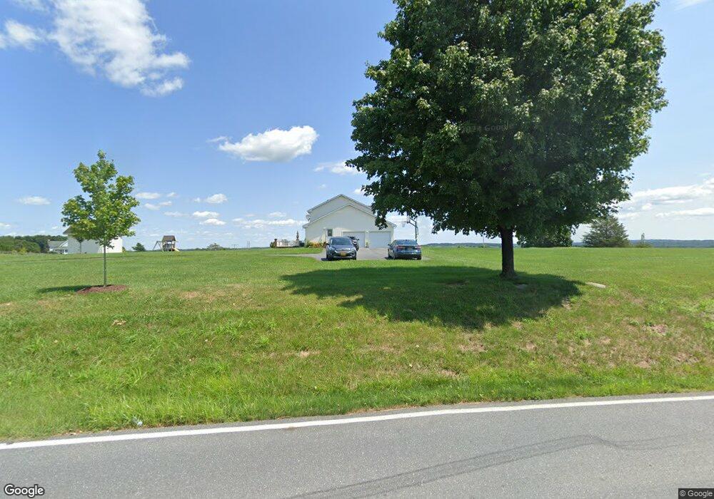
13620 Coppermine Rd Union Bridge, MD 21791
Estimated Value: $668,000 - $902,000
--
Bed
3
Baths
2,656
Sq Ft
$293/Sq Ft
Est. Value
About This Home
This home is located at 13620 Coppermine Rd, Union Bridge, MD 21791 and is currently estimated at $779,105, approximately $293 per square foot. 13620 Coppermine Rd is a home located in Frederick County with nearby schools including Liberty Elementary School, New Market Middle School, and Linganore High School.
Ownership History
Date
Name
Owned For
Owner Type
Purchase Details
Closed on
Jun 4, 1998
Sold by
Fling James H and Fling Jean
Bought by
Simmons Ii Mahlon J and Simmons Kimberly S
Current Estimated Value
Purchase Details
Closed on
Apr 27, 1990
Sold by
Fleming Lester H
Bought by
Fling James H and Fling Jean
Create a Home Valuation Report for This Property
The Home Valuation Report is an in-depth analysis detailing your home's value as well as a comparison with similar homes in the area
Home Values in the Area
Average Home Value in this Area
Purchase History
| Date | Buyer | Sale Price | Title Company |
|---|---|---|---|
| Simmons Ii Mahlon J | $100,000 | -- | |
| Fling James H | $119,500 | -- |
Source: Public Records
Mortgage History
| Date | Status | Borrower | Loan Amount |
|---|---|---|---|
| Closed | Simmons Ii Mahlon J | -- |
Source: Public Records
Tax History Compared to Growth
Tax History
| Year | Tax Paid | Tax Assessment Tax Assessment Total Assessment is a certain percentage of the fair market value that is determined by local assessors to be the total taxable value of land and additions on the property. | Land | Improvement |
|---|---|---|---|---|
| 2025 | $6,221 | $539,700 | $185,000 | $354,700 |
| 2024 | $6,221 | $501,533 | $0 | $0 |
| 2023 | $5,530 | $463,367 | $0 | $0 |
| 2022 | $5,086 | $425,200 | $140,000 | $285,200 |
| 2021 | $4,962 | $419,867 | $0 | $0 |
| 2020 | $4,962 | $414,533 | $0 | $0 |
| 2019 | $4,900 | $409,200 | $130,000 | $279,200 |
| 2018 | $4,944 | $409,200 | $130,000 | $279,200 |
| 2017 | $4,900 | $409,200 | $0 | $0 |
| 2016 | $4,712 | $414,100 | $0 | $0 |
| 2015 | $4,712 | $407,467 | $0 | $0 |
| 2014 | $4,712 | $400,833 | $0 | $0 |
Source: Public Records
Map
Nearby Homes
- 0 Keys Chapel Rd Unit MDFR2040360
- 13715 New Windsor Rd
- 9522 Bessie Clemson Rd
- 0 New Windsor Rd Unit MDFR2073236
- 9630 B Clemsonville Rd
- 14901 New Windsor Rd
- 9130 Liberty Village Way
- 15030 New Windsor Rd
- 10015 Parsonage Ln
- 12109 Liberty Rd
- 12061 & 12059 Main St
- 4205 Sams Creek Rd
- 11940 Main St
- 11911 Main St
- 1450 Marble Quarry Rd
- 15419 Barnes Rd
- 12613 Good Intent Rd
- 3816 A Jim Smith Ln
- 7407 Woodville Rd
- 0 Muth Rd
- 13610 New Windsor Rd
- 13536 New Windsor Rd
- 13618 Coppermine Rd
- 13612 Coppermine Rd
- 13614 New Windsor Rd
- 9511 Keys Chapel Rd
- 9505 Keys Chapel Rd
- 9527 Keys Chapel Rd
- 13560 Coppermine Rd
- 9528 Keys Chapel Rd
- 9536 Keys Chapel Rd
- 9532 Keys Chapel Rd
- 13620A New Windsor Rd
- 0 Keys Chapel Rd Unit MDFR190688
- 9545 Keys Chapel Rd
- 9549 Keys Chapel Rd
- 13721 New Windsor Rd
- 13726 New Windsor Rd
- 9567 Keys Chapel Rd
- 13418 New Windsor Rd