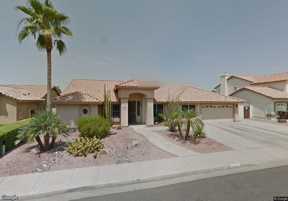
13620 N 72nd Ln Peoria, AZ 85381
Estimated Value: $587,656 - $706,000
--
Bed
3
Baths
2,878
Sq Ft
$234/Sq Ft
Est. Value
About This Home
This home is located at 13620 N 72nd Ln, Peoria, AZ 85381 and is currently estimated at $672,664, approximately $233 per square foot. 13620 N 72nd Ln is a home located in Maricopa County with nearby schools including Oakwood Elementary School, Cactus High School, and Legacy Traditional School - Glendale.
Ownership History
Date
Name
Owned For
Owner Type
Purchase Details
Closed on
Dec 21, 2001
Sold by
Fisher Woodrick D and Fisher Hyacinth D
Bought by
Beeny Mark T and Beeny Francene L
Current Estimated Value
Home Financials for this Owner
Home Financials are based on the most recent Mortgage that was taken out on this home.
Original Mortgage
$143,000
Interest Rate
7.11%
Mortgage Type
New Conventional
Purchase Details
Closed on
Apr 20, 2000
Sold by
Jenkins David A and Jenkins Beverly A
Bought by
Fisher Woodrick D and Fisher Hyacinth D
Home Financials for this Owner
Home Financials are based on the most recent Mortgage that was taken out on this home.
Original Mortgage
$168,000
Interest Rate
8.24%
Mortgage Type
New Conventional
Create a Home Valuation Report for This Property
The Home Valuation Report is an in-depth analysis detailing your home's value as well as a comparison with similar homes in the area
Home Values in the Area
Average Home Value in this Area
Purchase History
| Date | Buyer | Sale Price | Title Company |
|---|---|---|---|
| Beeny Mark T | $243,000 | Equity Title Agency Inc | |
| Fisher Woodrick D | $210,000 | Fidelity National Title |
Source: Public Records
Mortgage History
| Date | Status | Borrower | Loan Amount |
|---|---|---|---|
| Closed | Beeny Mark T | $143,000 | |
| Previous Owner | Fisher Woodrick D | $168,000 |
Source: Public Records
Tax History Compared to Growth
Tax History
| Year | Tax Paid | Tax Assessment Tax Assessment Total Assessment is a certain percentage of the fair market value that is determined by local assessors to be the total taxable value of land and additions on the property. | Land | Improvement |
|---|---|---|---|---|
| 2025 | $2,137 | $28,221 | -- | -- |
| 2024 | $2,164 | $26,877 | -- | -- |
| 2023 | $2,164 | $45,450 | $9,090 | $36,360 |
| 2022 | $2,119 | $32,850 | $6,570 | $26,280 |
| 2021 | $2,268 | $30,460 | $6,090 | $24,370 |
| 2020 | $2,290 | $29,580 | $5,910 | $23,670 |
| 2019 | $2,215 | $27,170 | $5,430 | $21,740 |
| 2018 | $2,142 | $26,110 | $5,220 | $20,890 |
| 2017 | $2,143 | $25,470 | $5,090 | $20,380 |
| 2016 | $2,122 | $25,230 | $5,040 | $20,190 |
| 2015 | $1,980 | $22,780 | $4,550 | $18,230 |
Source: Public Records
Map
Nearby Homes
- 13676 N 73rd Dr Unit 3
- 7236 W Voltaire Ave
- 7326 W Pershing Ave
- 7138 W Rue de Lamour
- 13629 N 71st Dr
- 7191 W Surrey Ave
- 13851 N 74th Ave
- 7465 W Calavar Rd Unit 1
- 13051 N 75th Dr
- 7301 W Sweetwater Ave
- 7436 W Calavar Rd
- 7114 W Ludlow Dr
- 7025 W Redfield Rd
- 7544 W Dreyfus Dr
- 7537 W Dreyfus Dr
- 7122 W Redfield Rd
- 12709 N 72nd Ave
- 7233 W Corrine Dr
- 7220 W Larkspur Dr
- 7418 W Corrine Dr
- 13570 N 72nd Ln
- 13630 N 72nd Ln
- 13425 N 73rd Ave
- 13421 N 73rd Ave
- 13640 N 72nd Ln
- 13560 N 72nd Ln
- 13577 N 73rd Ave
- 7244 W Eugie Ave
- 13409 N 73rd Ave
- 7245 W Eugie Ave
- 7303 W Eugie Ave
- 13613 N 73rd Ave
- 7302 W Emile Zola Ave
- 13393 N 73rd Ave
- 7245 W Rue de Lamour
- 13650 N 72nd Ln
- 13550 N 72nd Ln
- 7307 W Eugie Ave
- 7236 W Eugie Ave
- 7237 W Eugie Ave