13622 Garden Grove Ct Unit 355 Houston, TX 77082
Briar Village NeighborhoodEstimated Value: $170,000 - $204,000
3
Beds
2
Baths
1,452
Sq Ft
$131/Sq Ft
Est. Value
About This Home
This home is located at 13622 Garden Grove Ct Unit 355, Houston, TX 77082 and is currently estimated at $190,423, approximately $131 per square foot. 13622 Garden Grove Ct Unit 355 is a home located in Harris County with nearby schools including Heflin Elementary School, Budewig Intermediate School, and O'Donnell Middle School.
Ownership History
Date
Name
Owned For
Owner Type
Purchase Details
Closed on
Sep 30, 2003
Sold by
Woode Donald E and Woode Linda
Bought by
Johnston Karen A
Current Estimated Value
Home Financials for this Owner
Home Financials are based on the most recent Mortgage that was taken out on this home.
Original Mortgage
$91,200
Outstanding Balance
$42,647
Interest Rate
6.24%
Mortgage Type
Purchase Money Mortgage
Estimated Equity
$147,776
Purchase Details
Closed on
Jan 23, 1998
Sold by
Kinman Mary Beth
Bought by
Woode Donald E
Home Financials for this Owner
Home Financials are based on the most recent Mortgage that was taken out on this home.
Original Mortgage
$47,000
Interest Rate
7.07%
Create a Home Valuation Report for This Property
The Home Valuation Report is an in-depth analysis detailing your home's value as well as a comparison with similar homes in the area
Home Values in the Area
Average Home Value in this Area
Purchase History
| Date | Buyer | Sale Price | Title Company |
|---|---|---|---|
| Johnston Karen A | -- | Fidelity National Title | |
| Woode Donald E | -- | Commonwealth Land Title Co |
Source: Public Records
Mortgage History
| Date | Status | Borrower | Loan Amount |
|---|---|---|---|
| Open | Johnston Karen A | $91,200 | |
| Previous Owner | Woode Donald E | $47,000 |
Source: Public Records
Tax History Compared to Growth
Tax History
| Year | Tax Paid | Tax Assessment Tax Assessment Total Assessment is a certain percentage of the fair market value that is determined by local assessors to be the total taxable value of land and additions on the property. | Land | Improvement |
|---|---|---|---|---|
| 2025 | $111 | $168,336 | $33,603 | $134,733 |
| 2024 | $111 | $175,730 | $33,603 | $142,127 |
| 2023 | $111 | $183,151 | $33,603 | $149,548 |
| 2022 | $2,715 | $159,583 | $22,962 | $136,621 |
| 2021 | $2,602 | $117,911 | $22,962 | $94,949 |
| 2020 | $2,635 | $114,000 | $22,962 | $91,038 |
| 2019 | $2,790 | $117,055 | $18,482 | $98,573 |
| 2018 | $419 | $108,950 | $17,250 | $91,700 |
| 2017 | $2,367 | $108,950 | $17,250 | $91,700 |
| 2016 | $2,152 | $110,600 | $17,250 | $93,350 |
| 2015 | $1,573 | $93,401 | $17,250 | $76,151 |
| 2014 | $1,573 | $80,918 | $17,250 | $63,668 |
Source: Public Records
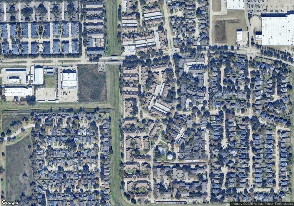
Map
Nearby Homes
- 3065 Windchase Blvd Unit 719
- 13483 Garden Grove Unit 723
- 3148 Windchase Blvd Unit 442
- 13806 Sheri Hollow Ln
- 13461 Garden Grove Unit 761
- 3143 Windchase Blvd Unit 785
- 3162 Windchase Blvd Unit 451
- 2948 Meadowgrass Ln Unit 175
- 3206 Windchase Blvd Unit 471
- 3224 Windchase Blvd Unit 495
- 2895 Panagard Dr Unit 4209
- 2889 Panagard Dr Unit 42
- 2865 Westhollow Dr Unit 83
- 2865 Westhollow Dr Unit 61
- 2831 Panagard Dr Unit 39
- 13807 Beech Hollow Ln
- 13351 Arlon Trail
- 13833 Hollowgreen Dr
- 13835 Hollowgreen Dr
- 3143 W Hampton Dr
- 13624 Garden Grove Ct Unit 354
- 13620 Garden Grove Ct Unit 356
- 13626 Garden Grove Ct Unit 353
- 13618 Garden Grove Ct Unit 357
- 13628 Garden Grove Ct Unit 352
- 13630 Garden Grove Ct Unit 351
- 13616 Garden Grove Ct Unit 371
- 13614 Garden Grove Ct Unit 332
- 3058 Windchase Blvd Unit 368
- 13632 Garden Grove Ct
- 13677 Garden Grove Ct Unit 277
- 3060 Windchase Blvd Unit 367
- 13612 Garden Grove Ct Unit 373
- 13606 Garden Grove Ct Unit 376
- 13675 Garden Grove Ct Unit 276
- 3062 Windchase Blvd Unit 366
- 13610 Garden Grove Ct Unit 374
- 13673 Garden Grove Ct Unit 275
- 3064 Windchase Blvd Unit 365
- 13636 Garden Grove Ct Unit 333