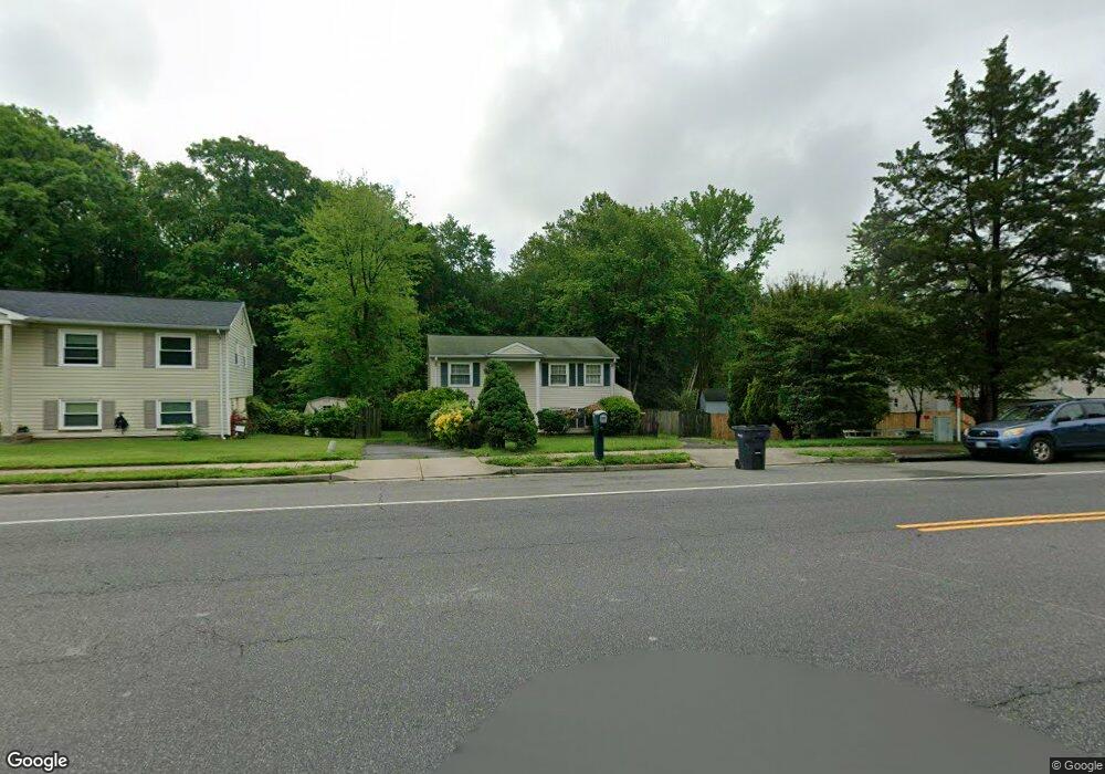
13623 Lindendale Rd Woodbridge, VA 22193
Lindendale NeighborhoodEstimated Value: $434,432 - $481,000
3
Beds
2
Baths
768
Sq Ft
$596/Sq Ft
Est. Value
About This Home
This home is located at 13623 Lindendale Rd, Woodbridge, VA 22193 and is currently estimated at $457,858, approximately $596 per square foot. 13623 Lindendale Rd is a home located in Prince William County with nearby schools including Enterprise Elementary School, C.D. Hylton High School, and Stuart M. Beville Middle School.
Ownership History
Date
Name
Owned For
Owner Type
Purchase Details
Closed on
Apr 27, 2000
Sold by
Brown Davi Dmw
Bought by
Curry James E
Current Estimated Value
Home Financials for this Owner
Home Financials are based on the most recent Mortgage that was taken out on this home.
Original Mortgage
$115,500
Outstanding Balance
$40,161
Interest Rate
8.23%
Estimated Equity
$417,697
Create a Home Valuation Report for This Property
The Home Valuation Report is an in-depth analysis detailing your home's value as well as a comparison with similar homes in the area
Home Values in the Area
Average Home Value in this Area
Purchase History
| Date | Buyer | Sale Price | Title Company |
|---|---|---|---|
| Curry James E | $110,000 | -- |
Source: Public Records
Mortgage History
| Date | Status | Borrower | Loan Amount |
|---|---|---|---|
| Open | Curry James E | $115,500 |
Source: Public Records
Tax History Compared to Growth
Tax History
| Year | Tax Paid | Tax Assessment Tax Assessment Total Assessment is a certain percentage of the fair market value that is determined by local assessors to be the total taxable value of land and additions on the property. | Land | Improvement |
|---|---|---|---|---|
| 2025 | -- | $376,100 | $145,300 | $230,800 |
| 2024 | -- | $346,900 | $135,300 | $211,600 |
| 2023 | $3,501 | $336,500 | $132,600 | $203,900 |
| 2022 | $3,594 | $320,500 | $122,700 | $197,800 |
| 2021 | $3,543 | $292,600 | $110,600 | $182,000 |
| 2020 | $3,937 | $254,000 | $104,300 | $149,700 |
| 2019 | $3,847 | $248,200 | $100,300 | $147,900 |
| 2018 | $2,830 | $234,400 | $97,300 | $137,100 |
| 2017 | $2,758 | $219,500 | $91,900 | $127,600 |
| 2016 | $2,650 | $212,600 | $89,200 | $123,400 |
| 2015 | $2,450 | $203,100 | $86,300 | $116,800 |
| 2014 | $2,450 | $191,800 | $83,800 | $108,000 |
Source: Public Records
Map
Nearby Homes
- 13737 Moccasin Ct
- 13871 Langstone Dr
- 4903 Kenyon Ct
- 13441 Kerr Ct
- 13918 Lynhurst Dr
- 13652 Kingsman Rd
- 13546 Kaslo Dr
- 5308 Macwood Dr
- 4700 Korvett Dr
- 5020 Quinlan Dr
- 13626 Kingsman Rd
- 5208 Quiet Place
- 13707 Mapledale Ave
- 4690 Pearson Dr
- 13424 Keating Dr
- 14072 Oxbridge Inn Ct
- 4736 Kirkdale Dr
- 13612 Kerrydale Rd
- 13201 Quate Ln
- 14160 Landon Ln
- 13621 Lindendale Rd
- 4924 Lombard Ln
- 4922 Lombard Ln
- 13619 Lindendale Rd
- 4920 Lombard Ln
- 13617 Lindendale Rd
- 13616 Lindendale Rd
- 13620 Lindendale Rd
- 13627 Lindendale Rd
- 5003 Linfield Dr
- 13615 Lindendale Rd
- 4918 Lombard Ln
- 13622 Lindendale Rd
- 5002 Linfield Dr
- 4921 Lombard Ln
- 13614 Lindendale Rd
- 13624 Lindendale Rd
- 13613 Lindendale Rd
- 4916 Lombard Ln
- 13629 Lindendale Rd