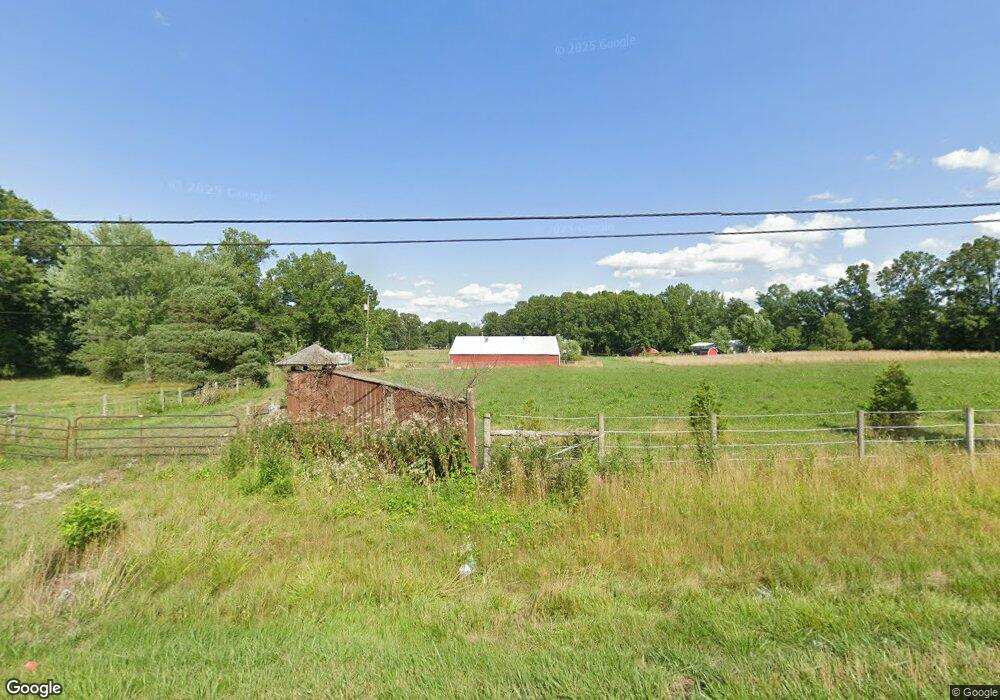
13624 Union Ave NE Alliance, OH 44601
Estimated Value: $97,886 - $142,000
--
Bed
2
Baths
1,040
Sq Ft
$115/Sq Ft
Est. Value
About This Home
This home is located at 13624 Union Ave NE, Alliance, OH 44601 and is currently estimated at $119,943, approximately $115 per square foot. 13624 Union Ave NE is a home located in Stark County with nearby schools including Marlington High School and Regina Coeli/St Joseph School.
Ownership History
Date
Name
Owned For
Owner Type
Purchase Details
Closed on
Aug 21, 2018
Sold by
Yoder William
Bought by
Yoder William and Yoder Lisa M
Current Estimated Value
Purchase Details
Closed on
Jul 3, 2018
Sold by
Thin Ice Farm Llc
Bought by
Yoder William
Purchase Details
Closed on
Nov 14, 2011
Sold by
The Estate Of Larry E Brewer
Bought by
Thin Ice Farms Llc
Purchase Details
Closed on
Jul 17, 2002
Sold by
Passel Investments Llc
Bought by
Brewer Larry L
Home Financials for this Owner
Home Financials are based on the most recent Mortgage that was taken out on this home.
Original Mortgage
$92,000
Interest Rate
6.79%
Create a Home Valuation Report for This Property
The Home Valuation Report is an in-depth analysis detailing your home's value as well as a comparison with similar homes in the area
Home Values in the Area
Average Home Value in this Area
Purchase History
| Date | Buyer | Sale Price | Title Company |
|---|---|---|---|
| Yoder William | -- | None Available | |
| Yoder William | $55,000 | None Available | |
| Thin Ice Farms Llc | $40,300 | None Available | |
| Brewer Larry L | $120,000 | -- |
Source: Public Records
Mortgage History
| Date | Status | Borrower | Loan Amount |
|---|---|---|---|
| Previous Owner | Brewer Larry L | $92,000 |
Source: Public Records
Tax History Compared to Growth
Tax History
| Year | Tax Paid | Tax Assessment Tax Assessment Total Assessment is a certain percentage of the fair market value that is determined by local assessors to be the total taxable value of land and additions on the property. | Land | Improvement |
|---|---|---|---|---|
| 2025 | -- | $26,885 | $23,555 | $3,330 |
| 2024 | -- | $26,885 | $23,555 | $3,330 |
| 2023 | $259 | $23,665 | $17,115 | $6,550 |
| 2022 | $260 | $7,180 | $630 | $6,550 |
| 2021 | $261 | $7,180 | $630 | $6,550 |
| 2020 | $161 | $3,960 | $630 | $3,330 |
| 2019 | $160 | $4,000 | $630 | $3,370 |
| 2018 | $162 | $4,000 | $630 | $3,370 |
| 2017 | $3,208 | $16,250 | $12,600 | $3,650 |
| 2016 | $2,320 | $16,250 | $12,600 | $3,650 |
| 2015 | $706 | $16,250 | $12,600 | $3,650 |
| 2014 | $692 | $15,270 | $11,870 | $3,400 |
| 2013 | $344 | $15,270 | $11,870 | $3,400 |
Source: Public Records
Map
Nearby Homes
- 0 Knoll St NE
- 15520 Coalbank St NE
- 15789 Coalbank St NE
- 13975 Greenbower St NE
- 14723 Bolton St NE
- 15995 Elbrook St NE
- 14422 Sturbridge Rd NE
- 11344 Walnut Ave NE
- 15832 Waverly St NE
- 11310 Webb Ave NE
- 0 Johnson Ave NE Unit 5142926
- 0 Homestead Ave NE
- 0 Klinger Ave NE
- 0 Meadowbrook Ave
- 13109 Edison St NE
- 652 N Webb Ave
- 124 E Wayne St
- 7374 Virginia Rd
- 11480 Aebi Ave NE
- 710 N Freedom Ave
- 13554 Union Ave NE
- 13685 Union Ave NE
- 13725 Union Ave NE
- 13770 Union Ave NE
- 13425 Union Ave NE
- 13801 Union Ave NE
- 13381 Union Ave NE
- 15647 Greenbower St NE
- 13820 Union Ave NE
- 15625 Greenbower St NE
- 13871 Union Ave NE
- 15687 Greenbower St NE
- 13253 Lexington Ave NE
- 15553 Greenbower St NE
- 15579 Greenbower St NE
- 15581 Greenbower St NE
- 13220 Lexington Ave NE
- 13220 Lexington Ave NE
- 13222 Lexington Ave NE
- 13221 Lexington Ave NE