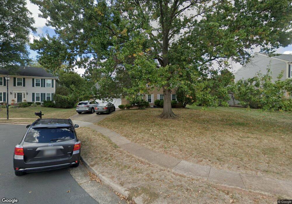
13629 Dornock Ct Herndon, VA 20171
Oak Hill NeighborhoodEstimated Value: $923,779 - $1,020,000
4
Beds
4
Baths
2,388
Sq Ft
$405/Sq Ft
Est. Value
About This Home
This home is located at 13629 Dornock Ct, Herndon, VA 20171 and is currently estimated at $966,195, approximately $404 per square foot. 13629 Dornock Ct is a home located in Fairfax County with nearby schools including Oak Hill Elementary School, Franklin Middle, and Chantilly High School.
Ownership History
Date
Name
Owned For
Owner Type
Purchase Details
Closed on
Sep 23, 2003
Sold by
Yap Wallie K
Bought by
Francisco King
Current Estimated Value
Home Financials for this Owner
Home Financials are based on the most recent Mortgage that was taken out on this home.
Original Mortgage
$372,000
Outstanding Balance
$173,401
Interest Rate
6.31%
Mortgage Type
New Conventional
Estimated Equity
$792,794
Create a Home Valuation Report for This Property
The Home Valuation Report is an in-depth analysis detailing your home's value as well as a comparison with similar homes in the area
Home Values in the Area
Average Home Value in this Area
Purchase History
| Date | Buyer | Sale Price | Title Company |
|---|---|---|---|
| Francisco King | $465,000 | -- |
Source: Public Records
Mortgage History
| Date | Status | Borrower | Loan Amount |
|---|---|---|---|
| Open | Francisco King | $372,000 |
Source: Public Records
Tax History Compared to Growth
Tax History
| Year | Tax Paid | Tax Assessment Tax Assessment Total Assessment is a certain percentage of the fair market value that is determined by local assessors to be the total taxable value of land and additions on the property. | Land | Improvement |
|---|---|---|---|---|
| 2025 | $9,163 | $862,310 | $326,000 | $536,310 |
| 2024 | $9,163 | $790,920 | $301,000 | $489,920 |
| 2023 | $9,195 | $814,790 | $301,000 | $513,790 |
| 2022 | $8,452 | $739,170 | $271,000 | $468,170 |
| 2021 | $7,838 | $667,910 | $251,000 | $416,910 |
| 2020 | $8,451 | $635,420 | $241,000 | $394,420 |
| 2019 | $7,297 | $616,570 | $236,000 | $380,570 |
| 2018 | $6,868 | $597,190 | $231,000 | $366,190 |
| 2017 | $6,933 | $597,190 | $231,000 | $366,190 |
| 2016 | $6,918 | $597,190 | $231,000 | $366,190 |
| 2015 | $6,373 | $571,040 | $221,000 | $350,040 |
| 2014 | $6,146 | $551,940 | $211,000 | $340,940 |
Source: Public Records
Map
Nearby Homes
- 13723 Neil Armstrong Ave Unit 503
- 13486 Foxlease Ct
- 3220 Kinross Cir
- 13607 Soft Breeze Ct
- 3092 Alan Shepard St
- 3252 Tayloe Ct
- 3256 Tayloe Ct
- 3055 Alan Shepard St
- 3001 Mcmaster Ct
- 3025 Hughsmith Ct
- 3350 Stone Heather Ct
- 13430 Hidden Meadow Ct
- 13408 Hidden Meadow Ct
- 3559 Plum Dale Dr
- 2969 Mother Well Ct
- 2913 Mother Well Ct
- 13621 Old Chatwood Place
- 13405 Virginia Willow Dr
- 13019 Bankfoot Ct
- 13132 Bradley Farm Dr
- 13631 Dornock Ct
- 13627 Dornock Ct
- 3209 Kilbrennan Ct
- 13635 Dornock Ct
- 3207 Kilbrennan Ct
- 13625 Dornock Ct
- 3210 Kilbrennan Ct
- 13630 Dornock Ct
- 13628 Dornock Ct
- 13632 Dornock Ct
- 13626 Dornock Ct
- 13639 Dornock Ct
- 3215 Centreville Rd
- 13645 Dornock Ct
- 13649 Dornock Ct
- 13634 Dornock Ct
- 3208 Kilbrennan Ct
- 13651 Dornock Ct
- 3212 Allness Ln
- 3210 Allness Ln