1363 Booth St Howell, MI 48843
Estimated Value: $319,000 - $437,000
3
Beds
2
Baths
1,352
Sq Ft
$279/Sq Ft
Est. Value
About This Home
This home is located at 1363 Booth St, Howell, MI 48843 and is currently estimated at $376,758, approximately $278 per square foot. 1363 Booth St is a home located in Livingston County with nearby schools including Northwest Elementary School, Highlander Way Middle School, and Howell High School.
Ownership History
Date
Name
Owned For
Owner Type
Purchase Details
Closed on
Feb 5, 2025
Sold by
Lightfoot Robert D and Lightfoot Bonnie J
Bought by
Lightfoot Robert D and Lightfoot Bonnie J
Current Estimated Value
Purchase Details
Closed on
May 5, 2021
Sold by
Burge Deborah A
Bought by
Special Needs Trust and Balding
Purchase Details
Closed on
Apr 29, 2014
Sold by
Lightfoot Robert D and Lightfoot Bonnie J
Bought by
Lightfoor Robert D and Lightfoot Bonnie J
Purchase Details
Closed on
Apr 19, 2002
Sold by
Wolf Alexandria
Bought by
Duneske Bradley James
Create a Home Valuation Report for This Property
The Home Valuation Report is an in-depth analysis detailing your home's value as well as a comparison with similar homes in the area
Home Values in the Area
Average Home Value in this Area
Purchase History
| Date | Buyer | Sale Price | Title Company |
|---|---|---|---|
| Lightfoot Robert D | -- | None Listed On Document | |
| Special Needs Trust | -- | None Listed On Document | |
| Lightfoor Robert D | -- | -- | |
| Duneske Bradley James | $140,000 | Select Title |
Source: Public Records
Tax History
| Year | Tax Paid | Tax Assessment Tax Assessment Total Assessment is a certain percentage of the fair market value that is determined by local assessors to be the total taxable value of land and additions on the property. | Land | Improvement |
|---|---|---|---|---|
| 2025 | $3,229 | $201,400 | $0 | $0 |
| 2024 | $2,992 | $182,000 | $0 | $0 |
| 2023 | $1,848 | $159,400 | $0 | $0 |
| 2022 | $1,006 | $139,000 | $0 | $0 |
| 2021 | $2,656 | $150,500 | $0 | $0 |
| 2020 | $2,682 | $139,000 | $0 | $0 |
| 2019 | $2,648 | $128,800 | $0 | $0 |
| 2018 | $1,833 | $91,400 | $0 | $0 |
| 2017 | $1,815 | $88,600 | $0 | $0 |
| 2016 | $1,802 | $81,800 | $0 | $0 |
| 2014 | $1,896 | $68,000 | $0 | $0 |
| 2012 | $1,896 | $64,800 | $0 | $0 |
Source: Public Records
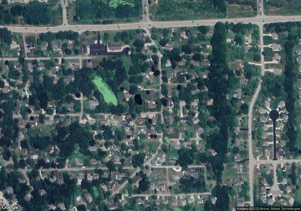
Map
Nearby Homes
- 1570 Princewood Blvd
- 1420 Butler Blvd
- 2511 Kerria Dr Unit 42
- 2643 Kerria Dr Unit 65
- VACANT LOT Thompson Shore Dr
- 2830 Bonny Brook Dr Unit 3
- 1315 Central Ave
- Lot 1 of Lockes St
- Lot 3 of Lockes St
- 475 Cannonade Loop
- 571 Cannonade Loop
- 523 Cannonade Loop
- 583 Cannonade Loop
- 3227 Waverly Woods Ln
- 487 Cannonade Loop
- 559 Cannonade Loop
- 499 Cannonade Loop
- The Austin Plan at Broadmoor
- The Charlotte Plan at Broadmoor
- The Harrison Plan at Broadmoor
Your Personal Tour Guide
Ask me questions while you tour the home.