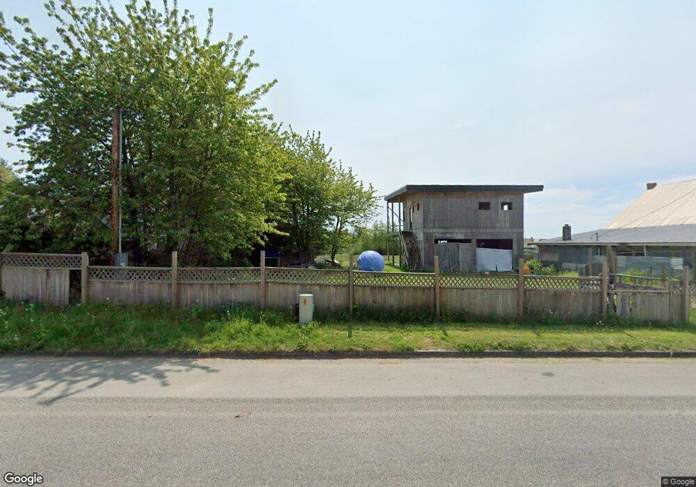
1363 Gulf Rd Point Roberts, WA 98281
Estimated Value: $531,301 - $771,000
3
Beds
3
Baths
2,161
Sq Ft
$281/Sq Ft
Est. Value
About This Home
This home is located at 1363 Gulf Rd, Point Roberts, WA 98281 and is currently estimated at $606,575, approximately $280 per square foot. 1363 Gulf Rd is a home located in Whatcom County with nearby schools including Point Roberts Primary School, Blaine Middle School, and Blaine High School.
Ownership History
Date
Name
Owned For
Owner Type
Purchase Details
Closed on
Jul 22, 2020
Sold by
Pugh David and Pugh Gloria
Bought by
Carmody Casey Leo and Carmody Miho
Current Estimated Value
Home Financials for this Owner
Home Financials are based on the most recent Mortgage that was taken out on this home.
Original Mortgage
$312,000
Outstanding Balance
$276,661
Interest Rate
3.1%
Mortgage Type
New Conventional
Estimated Equity
$329,914
Purchase Details
Closed on
Apr 7, 2016
Sold by
Peltier Jeffrey H and Peltier Fern
Bought by
Pugh David and Pugh Gloria
Purchase Details
Closed on
Mar 25, 2005
Sold by
Watson Robin
Bought by
Peltier Jeffery H and Peltier Fern
Create a Home Valuation Report for This Property
The Home Valuation Report is an in-depth analysis detailing your home's value as well as a comparison with similar homes in the area
Home Values in the Area
Average Home Value in this Area
Purchase History
| Date | Buyer | Sale Price | Title Company |
|---|---|---|---|
| Carmody Casey Leo | $390,000 | Whatcom Land Title Co Inc | |
| Pugh David | $300,000 | Whatcom Land Title | |
| Peltier Jeffery H | $20,000 | Whatcom Land Title |
Source: Public Records
Mortgage History
| Date | Status | Borrower | Loan Amount |
|---|---|---|---|
| Open | Carmody Casey Leo | $312,000 |
Source: Public Records
Tax History Compared to Growth
Tax History
| Year | Tax Paid | Tax Assessment Tax Assessment Total Assessment is a certain percentage of the fair market value that is determined by local assessors to be the total taxable value of land and additions on the property. | Land | Improvement |
|---|---|---|---|---|
| 2024 | $3,667 | $460,798 | $100,397 | $360,401 |
| 2023 | $3,667 | $451,671 | $91,270 | $360,401 |
| 2022 | $2,688 | $412,485 | $83,352 | $329,133 |
| 2021 | $2,677 | $268,948 | $53,948 | $215,000 |
| 2020 | $2,785 | $249,023 | $49,951 | $199,072 |
| 2019 | $2,582 | $250,671 | $47,914 | $202,757 |
| 2018 | $2,478 | $225,352 | $43,075 | $182,277 |
| 2017 | $2,148 | $215,223 | $41,139 | $174,084 |
| 2016 | $2,234 | $211,003 | $40,332 | $170,671 |
| 2015 | $2,376 | $213,390 | $41,562 | $171,828 |
| 2014 | -- | $223,081 | $43,450 | $179,631 |
| 2013 | -- | $213,147 | $41,729 | $171,418 |
Source: Public Records
Map
Nearby Homes
- 1365 Gulf Rd
- 1379 Gulf Rd
- 469 Julius Dr
- 581 Marine Dr
- Lot #8 Marine Dr
- 1438 Gulf Rd
- 585 Marine Dr
- 0 Peltier Dr Unit NWM2406572
- 631 Freemans Ln
- 421 W Bluff Rd
- 381 W Bluff Rd
- 1542 Columbia Vista Dr
- 11 Lot Rex St
- 329 Gulf View Crescent
- 279 Marine Dr
- 158 Tyee Dr
- 168 Tyee Dr
- 1477 Edwards Dr
- 0 Edwards Dr Unit Lot 2 11256474
- 1453 Edwards Dr