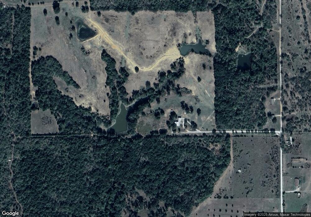
1363 Hoover Rd Durant, OK 74701
Estimated Value: $220,000 - $572,656
3
Beds
1
Bath
1,184
Sq Ft
$340/Sq Ft
Est. Value
About This Home
This home is located at 1363 Hoover Rd, Durant, OK 74701 and is currently estimated at $402,552, approximately $339 per square foot. 1363 Hoover Rd is a home located in Bryan County with nearby schools including Rock Creek Elementary School and Rock Creek High School.
Ownership History
Date
Name
Owned For
Owner Type
Purchase Details
Closed on
Jan 10, 2025
Sold by
Russell Doris Gene
Bought by
Mccann Amos Tanner and Mccann Bethany Ann
Current Estimated Value
Home Financials for this Owner
Home Financials are based on the most recent Mortgage that was taken out on this home.
Original Mortgage
$270,000
Outstanding Balance
$151,274
Interest Rate
5%
Mortgage Type
New Conventional
Estimated Equity
$251,278
Purchase Details
Closed on
Mar 3, 2014
Sold by
Hull James R and Hull Tara
Bought by
Russell Ii Doris Gene
Purchase Details
Closed on
Apr 16, 2012
Sold by
Hull Hugh M and Hull Hugh
Bought by
Hull James Rodney
Create a Home Valuation Report for This Property
The Home Valuation Report is an in-depth analysis detailing your home's value as well as a comparison with similar homes in the area
Home Values in the Area
Average Home Value in this Area
Purchase History
| Date | Buyer | Sale Price | Title Company |
|---|---|---|---|
| Mccann Amos Tanner | $600,000 | Stewart Title | |
| Russell Ii Doris Gene | $123,000 | -- | |
| Hull James Rodney | -- | None Available | |
| Hull James Rodney | -- | None Available |
Source: Public Records
Mortgage History
| Date | Status | Borrower | Loan Amount |
|---|---|---|---|
| Open | Mccann Amos Tanner | $270,000 | |
| Closed | Mccann Amos Tanner | $300,000 |
Source: Public Records
Tax History Compared to Growth
Tax History
| Year | Tax Paid | Tax Assessment Tax Assessment Total Assessment is a certain percentage of the fair market value that is determined by local assessors to be the total taxable value of land and additions on the property. | Land | Improvement |
|---|---|---|---|---|
| 2025 | $524 | $7,229 | $2,007 | $5,222 |
| 2024 | $524 | $7,019 | $1,949 | $5,070 |
| 2023 | $524 | $6,815 | $1,894 | $4,921 |
| 2022 | $488 | $6,616 | $1,824 | $4,792 |
| 2021 | $473 | $6,423 | $1,824 | $4,599 |
| 2020 | $460 | $6,236 | $1,824 | $4,412 |
| 2019 | $471 | $6,055 | $1,824 | $4,231 |
| 2018 | $459 | $5,878 | $1,824 | $4,054 |
| 2017 | $400 | $5,101 | $1,824 | $3,277 |
| 2016 | $436 | $5,531 | $2,242 | $3,289 |
| 2015 | $524 | $7,106 | $2,242 | $4,864 |
| 2014 | $524 | $7,106 | $2,242 | $4,864 |
Source: Public Records
Map
Nearby Homes
- 0 S Hoover St
- 23007 U S 70
- 7916 Old Highway 70
- 1570 Rock Creek Rd
- 1163 N3780 Rd
- 1227 S Risner Rd
- 0 N Philadelphia Rd
- 001 N Philadelphia Rd
- 400 N Lone Oak Rd
- 005 State Highway 70
- 012 State Highway 70
- 3703 Jim Mac Rd
- 26495 U S 70
- 0 Roberta Rd Unit 2529005
- 2001 Jim Mac Rd
- 798 S Lone Oak Rd
- 418 E2085 Rd
- 177 Founders Ln
- 0 1 Well Rd
- 17096 US Highway 70