1363 Malcom Bridge Rd Bogart, GA 30622
Estimated Value: $348,000 - $384,296
--
Bed
--
Bath
1,500
Sq Ft
$244/Sq Ft
Est. Value
About This Home
This home is located at 1363 Malcom Bridge Rd, Bogart, GA 30622 and is currently estimated at $366,148, approximately $244 per square foot. 1363 Malcom Bridge Rd is a home located in Oconee County with nearby schools including Rocky Branch Elementary School, Malcom Bridge Middle School, and North Oconee High School.
Ownership History
Date
Name
Owned For
Owner Type
Purchase Details
Closed on
Nov 29, 1999
Sold by
James James R and James Hunter
Bought by
Bailey Melvin R
Current Estimated Value
Purchase Details
Closed on
Aug 15, 1997
Sold by
Properties N and Properties In P
Bought by
James James R and James Hunter
Create a Home Valuation Report for This Property
The Home Valuation Report is an in-depth analysis detailing your home's value as well as a comparison with similar homes in the area
Home Values in the Area
Average Home Value in this Area
Purchase History
| Date | Buyer | Sale Price | Title Company |
|---|---|---|---|
| Bailey Melvin R | $100,000 | -- | |
| James James R | $35,000 | -- |
Source: Public Records
Tax History Compared to Growth
Tax History
| Year | Tax Paid | Tax Assessment Tax Assessment Total Assessment is a certain percentage of the fair market value that is determined by local assessors to be the total taxable value of land and additions on the property. | Land | Improvement |
|---|---|---|---|---|
| 2024 | $81 | $118,922 | $30,000 | $88,922 |
| 2023 | $36 | $104,962 | $18,000 | $86,962 |
| 2022 | $2,115 | $91,236 | $18,000 | $73,236 |
| 2021 | $1,774 | $84,404 | $18,000 | $66,404 |
| 2020 | $1,774 | $76,532 | $18,000 | $58,532 |
| 2019 | $1,680 | $70,907 | $18,000 | $52,907 |
| 2018 | $1,506 | $63,584 | $18,000 | $45,584 |
| 2017 | $1,352 | $57,084 | $18,000 | $39,084 |
| 2016 | $1,343 | $56,712 | $18,000 | $38,712 |
| 2015 | -- | $56,769 | $18,000 | $38,769 |
| 2014 | -- | $56,931 | $20,000 | $36,931 |
| 2013 | -- | $55,274 | $20,000 | $35,274 |
Source: Public Records
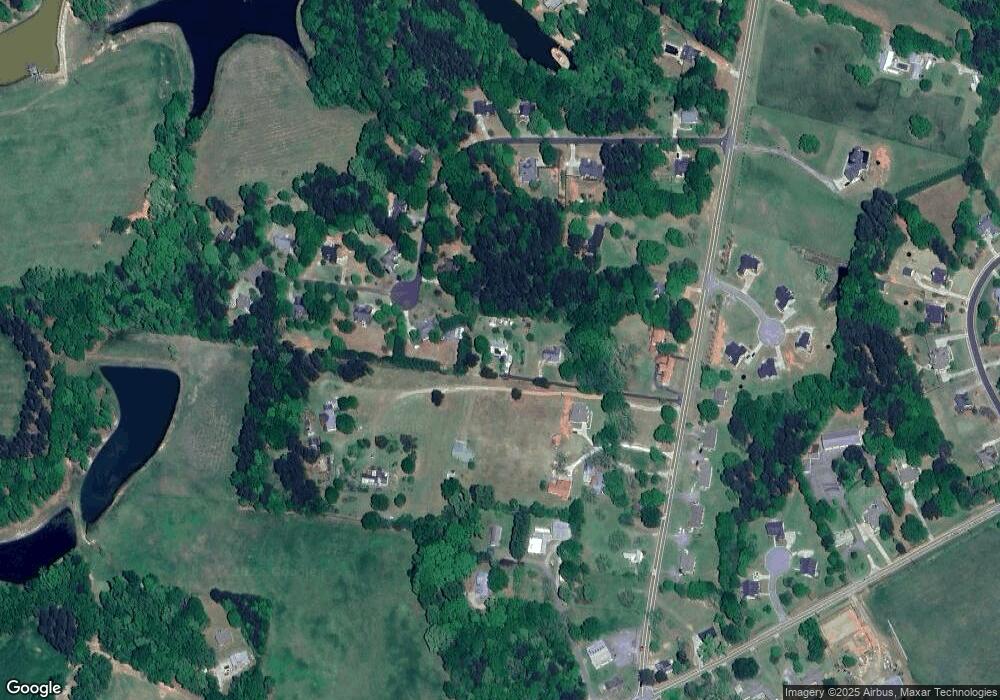
Map
Nearby Homes
- 1496 Malcom Estates Dr
- 1224 Malcom Estates Point Unit Lot 67
- 0 Us 53 Hwy Unit 10376334
- 1381 Mayfair Way
- 3065 Brookhaven Dr
- 1491 Virgil Langford Rd
- 1895 Vintage Place
- 1224 Malcom Estates Point Lot: 67
- 0 Clotfelter Rd Unit 1025303
- 2165 Harperfield Dr
- 1190 Wareview Ct
- 2082 Wade Dr
- 1105 Harperfield Dr
- 2163 Heather Ln
- 1010 Long Creek Dr
- 1479 Mcfall Ct
- 1071 Oaklake Cir
- 1336 Prince Place
- 1361 Malcom Bridge Rd
- 1121 Richwood Trail
- 1111 Richwood Trail
- 1131 Richwood Trail
- 1359 Malcom Bridge Rd
- 1120 Richwood Trail
- 1091 Richwood Trail
- 0 Richwood Trail Unit 8152763
- 0 Richwood Trail Unit 7607985
- 0 Richwood Trail Unit 8253190
- 1100 Richwood Trail
- 1061 Richwood Trail
- 1391 Malcom Bridge Rd
- 1371 Malcom Bridge Rd
- 1341 Malcom Bridge Rd
- 1130 Richwood Trail
- 1331 Malcom Bridge Rd
- 1031 Richwood Trail
- 1305 Hodges Mill Rd
- 1141 Richwood Trail