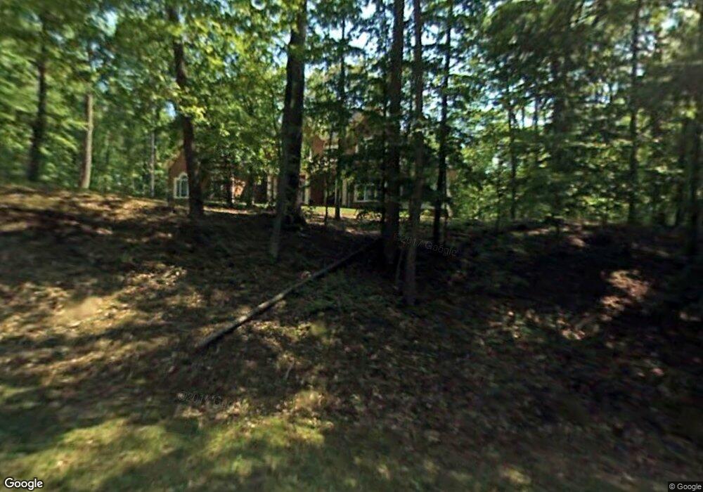
1363 Morgans Ridge Ln Crownsville, MD 21032
Estimated Value: $1,448,267 - $1,824,000
--
Bed
5
Baths
6,484
Sq Ft
$260/Sq Ft
Est. Value
About This Home
This home is located at 1363 Morgans Ridge Ln, Crownsville, MD 21032 and is currently estimated at $1,684,817, approximately $259 per square foot. 1363 Morgans Ridge Ln is a home located in Anne Arundel County with nearby schools including South Shore Elementary School, Old Mill High School, and Indian Creek School.
Ownership History
Date
Name
Owned For
Owner Type
Purchase Details
Closed on
Mar 7, 2005
Sold by
Mona Mark A
Bought by
Vernon Michael A and Vernon Maureen A
Current Estimated Value
Home Financials for this Owner
Home Financials are based on the most recent Mortgage that was taken out on this home.
Original Mortgage
$1,385,700
Interest Rate
5.64%
Mortgage Type
New Conventional
Purchase Details
Closed on
May 27, 1999
Sold by
Wild Cranberry Ltd Ptnshp
Bought by
Mona Mark A and Mona Joni M
Create a Home Valuation Report for This Property
The Home Valuation Report is an in-depth analysis detailing your home's value as well as a comparison with similar homes in the area
Home Values in the Area
Average Home Value in this Area
Purchase History
| Date | Buyer | Sale Price | Title Company |
|---|---|---|---|
| Vernon Michael A | $548,900 | -- | |
| Mona Mark A | $173,750 | -- |
Source: Public Records
Mortgage History
| Date | Status | Borrower | Loan Amount |
|---|---|---|---|
| Closed | Vernon Michael A | $1,385,700 |
Source: Public Records
Tax History Compared to Growth
Tax History
| Year | Tax Paid | Tax Assessment Tax Assessment Total Assessment is a certain percentage of the fair market value that is determined by local assessors to be the total taxable value of land and additions on the property. | Land | Improvement |
|---|---|---|---|---|
| 2025 | $13,193 | $1,371,500 | $198,200 | $1,173,300 |
| 2024 | $13,193 | $1,297,000 | $0 | $0 |
| 2023 | $12,199 | $1,222,500 | $0 | $0 |
| 2022 | $11,973 | $1,148,000 | $223,200 | $924,800 |
| 2021 | $23,455 | $1,105,633 | $0 | $0 |
| 2020 | $11,453 | $1,063,267 | $0 | $0 |
| 2019 | $11,225 | $1,020,900 | $253,200 | $767,700 |
| 2018 | $10,187 | $1,004,667 | $0 | $0 |
| 2017 | $10,600 | $988,433 | $0 | $0 |
| 2016 | -- | $972,200 | $0 | $0 |
| 2015 | -- | $972,200 | $0 | $0 |
| 2014 | -- | $972,200 | $0 | $0 |
Source: Public Records
Map
Nearby Homes
- 0 Generals Hwy
- 1603 Upton Scott Way
- 0 Yew Trail Unit MDAA2121932
- 975 Diggs Rd
- 938 Diggs Rd
- 1101 Opaca Ct
- 902 Hine Trail
- 0 Old Herald Harbor Rd Unit MDAA2109542
- 0 Old Herald Harbor Rd Unit MDAA2115958
- 1496 River Rd
- 1634 Old Generals Hwy
- 478 Mountain Rd
- 0 Herald Harbor Rd Unit MDAA2123892
- 1404 Cotton Ct
- 872 Redwood Trail
- 359 Hall Rd
- Lots 25 and 26 Redwood Trail
- Lots 27 and 28 Redwood Trail
- Lots 23 and 24 Redwood Trail
- 852 Birch Trail
- 1365 Morgans Ridge Ln
- 1367 Morgans Ridge Ln
- 1361 Morgans Ridge Ln
- 1357 Briarhill Ln
- 1359 Briarhill Ln
- 1358 Sweet Pea Path
- 1355 Briarhill Ln
- 1353 Sweet Pea Path
- 1351 Sweet Pea Path
- 1356 Sweet Pea Path
- 1345 Furlongs Ln
- 1349 Sweet Pea Path
- 1354 Sweet Pea Path
- 1343 Furlongs Ln
- 1347 Furlongs Ln
- 1350 Sweet Pea Path
- 1352 Sweet Pea Path
- 1339 Sweet Pea Path
- 1501 Wild Cranberry Dr
- 1425 Landmark Terrace