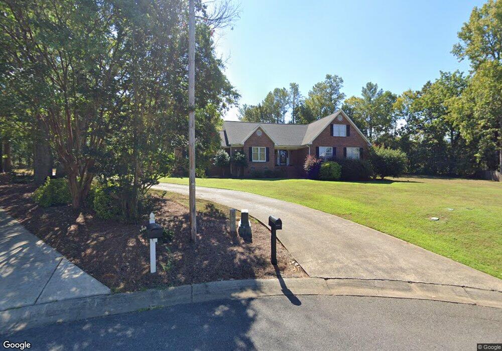
1363 Woodhurst Dr Rock Hill, SC 29732
Estimated Value: $481,000 - $597,000
--
Bed
--
Bath
2,633
Sq Ft
$204/Sq Ft
Est. Value
About This Home
This home is located at 1363 Woodhurst Dr, Rock Hill, SC 29732 and is currently estimated at $537,493, approximately $204 per square foot. 1363 Woodhurst Dr is a home located in York County with nearby schools including Richmond Drive Elementary School, W.C. Sullivan Middle School, and Rock Hill High School.
Ownership History
Date
Name
Owned For
Owner Type
Purchase Details
Closed on
Dec 14, 2010
Sold by
Agee Alfred Garner and Agee Jane M
Bought by
Mccallister Virginia L and Mccallister James S
Current Estimated Value
Purchase Details
Closed on
Aug 31, 2009
Sold by
Brown Phillip M and Brown Karen N
Bought by
Mccallister Virginia L and Mccallister James S
Home Financials for this Owner
Home Financials are based on the most recent Mortgage that was taken out on this home.
Original Mortgage
$215,200
Interest Rate
6%
Mortgage Type
New Conventional
Create a Home Valuation Report for This Property
The Home Valuation Report is an in-depth analysis detailing your home's value as well as a comparison with similar homes in the area
Home Values in the Area
Average Home Value in this Area
Purchase History
| Date | Buyer | Sale Price | Title Company |
|---|---|---|---|
| Mccallister Virginia L | -- | -- | |
| Mccallister Virginia L | $269,000 | -- |
Source: Public Records
Mortgage History
| Date | Status | Borrower | Loan Amount |
|---|---|---|---|
| Closed | Mccallister Virginia L | $215,200 |
Source: Public Records
Tax History Compared to Growth
Tax History
| Year | Tax Paid | Tax Assessment Tax Assessment Total Assessment is a certain percentage of the fair market value that is determined by local assessors to be the total taxable value of land and additions on the property. | Land | Improvement |
|---|---|---|---|---|
| 2024 | $2,256 | $10,280 | $1,571 | $8,709 |
| 2023 | $2,262 | $10,280 | $1,571 | $8,709 |
| 2022 | $2,277 | $10,280 | $1,571 | $8,709 |
| 2021 | -- | $10,280 | $1,571 | $8,709 |
| 2020 | $2,282 | $10,280 | $0 | $0 |
| 2019 | $2,047 | $8,940 | $0 | $0 |
| 2018 | $2,045 | $8,940 | $0 | $0 |
| 2017 | $1,969 | $8,940 | $0 | $0 |
| 2016 | $1,952 | $8,940 | $0 | $0 |
| 2014 | $2,147 | $8,940 | $1,680 | $7,260 |
| 2013 | $2,147 | $10,320 | $1,680 | $8,640 |
Source: Public Records
Map
Nearby Homes
- 128 Front Porch Dr
- 1670 Midbrook Dr
- 1948 Marett Blvd
- 2009 Pinevalley Rd
- 1642 Amber Ln
- 1233 Sapaugh Ave
- 1738 Northgate Ln
- 1811 Charter Dr
- 1155 Cedar Grove Ln
- 2606 Camelot Dr
- 1845 Matthews Dr
- 2016 Celanese Rd
- 1319 Mount Gallant Rd
- 1631 Wendover Ct
- 3708 Celanese Rd
- 1585 Kallaramo Rd
- 1140 Mckinnon Dr Unit 15
- 1151 Mckinnon Dr
- 1149 Mckinnon Dr
- 1134 Mckinnon Dr
- 1356 Woodhurst Dr
- 379 Village Loop Dr
- 373 Village Loop Dr Unit 13
- 373 Village Loop Dr
- 1371 Woodhurst Dr
- 369 Village Loop Dr Unit 12
- 369 Village Loop Dr
- 201 Front Porch Dr
- 207 Front Porch Dr Unit 17
- 211 Front Porch Dr Unit 18
- 389 Village Loop Dr
- 363 Village Loop Dr Unit 11
- 219 Front Porch Dr Unit 19
- 219 Front Porch Dr
- 1364 Woodhurst Dr
- 1379 Woodhurst Dr
- 223 Front Porch Dr
- 1380 Woodhurst Dr
- 359 Village Loop Dr
- 388 Village Loop Dr