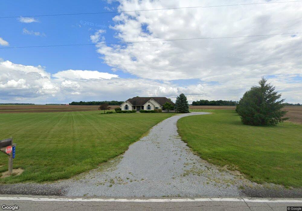
1363 Wyandot Rd Bucyrus, OH 44820
Estimated Value: $376,000 - $466,000
3
Beds
3
Baths
2,470
Sq Ft
$173/Sq Ft
Est. Value
About This Home
This home is located at 1363 Wyandot Rd, Bucyrus, OH 44820 and is currently estimated at $426,363, approximately $172 per square foot. 1363 Wyandot Rd is a home located in Crawford County with nearby schools including Wynford Elementary School, Wynford High School, and Wayside Christian School.
Ownership History
Date
Name
Owned For
Owner Type
Purchase Details
Closed on
Jul 18, 2024
Sold by
Sipe Beverly J
Bought by
Sipe Gary L and Sipe Beverly J
Current Estimated Value
Purchase Details
Closed on
Sep 24, 2012
Sold by
Sipe Gary L and Sipe Beverly J
Bought by
Township Of Bucyrus
Home Financials for this Owner
Home Financials are based on the most recent Mortgage that was taken out on this home.
Original Mortgage
$95,000
Interest Rate
3.58%
Mortgage Type
Purchase Money Mortgage
Purchase Details
Closed on
Feb 3, 2004
Bought by
Sipe Beverly J
Create a Home Valuation Report for This Property
The Home Valuation Report is an in-depth analysis detailing your home's value as well as a comparison with similar homes in the area
Home Values in the Area
Average Home Value in this Area
Purchase History
| Date | Buyer | Sale Price | Title Company |
|---|---|---|---|
| Sipe Gary L | -- | None Listed On Document | |
| Township Of Bucyrus | -- | None Available | |
| Sipe Beverly J | $8,200 | -- |
Source: Public Records
Mortgage History
| Date | Status | Borrower | Loan Amount |
|---|---|---|---|
| Previous Owner | Township Of Bucyrus | $95,000 |
Source: Public Records
Tax History Compared to Growth
Tax History
| Year | Tax Paid | Tax Assessment Tax Assessment Total Assessment is a certain percentage of the fair market value that is determined by local assessors to be the total taxable value of land and additions on the property. | Land | Improvement |
|---|---|---|---|---|
| 2024 | $4,527 | $122,130 | $8,600 | $113,530 |
| 2023 | $4,527 | $90,640 | $6,560 | $84,080 |
| 2022 | $4,041 | $90,640 | $6,560 | $84,080 |
| 2021 | $4,336 | $90,640 | $6,560 | $84,080 |
| 2020 | $3,048 | $68,740 | $6,560 | $62,180 |
| 2019 | $3,132 | $68,740 | $6,560 | $62,180 |
| 2018 | $3,201 | $68,740 | $6,560 | $62,180 |
| 2017 | $2,720 | $59,280 | $6,560 | $52,720 |
| 2016 | $2,266 | $59,280 | $6,560 | $52,720 |
| 2015 | $2,299 | $59,280 | $6,560 | $52,720 |
| 2014 | $2,671 | $63,250 | $6,560 | $56,690 |
| 2013 | $2,671 | $63,250 | $6,560 | $56,690 |
Source: Public Records
Map
Nearby Homes
- 1773 Marion-Melmore Rd
- 2440 Wyandot Rd
- 2273 Kerstetter Rd
- 1123 Hillcrest Dr
- 275 Brentwood St
- 130 Brentwood St
- 1112 Hillcrest Dr
- 1149 Farmview Dr
- 1315 Lynne Ave
- 3056 Mccracken Rd
- 0 Lynne Ave
- 1145 Lynne Ave
- 452 Pleasant Ln
- 1665 Lincoln Hwy
- 1211 S Sandusky Ave
- 182 Williams St
- 900 S Spring St
- 1021 S Sandusky Ave
- 325 W Liberty St
- 318 Charlotte St
- 1384 Wyandot Rd
- 1285 Wyandot Rd
- 1285 Wyandot Rd
- 1290 Wyandot Rd
- 1437 Wyandot Rd
- 1288 Wyandot Rd
- 1222 Wyandot Rd
- 1466 Wyandot Rd
- 1225 Wyandot Rd
- 1476 Wyandot Rd
- 1480 Wyandot Rd
- 1215 Wyandot Rd
- 1489 Wyandot Rd
- 1190 Wyandot Rd
- 1523 Wyandot Rd
- 1730 Shupp Rd
- 1567 Wyandot Rd
- 1129 Wyandot Rd
- 1580 Wyandot Rd
- 1601 Wyandot Rd