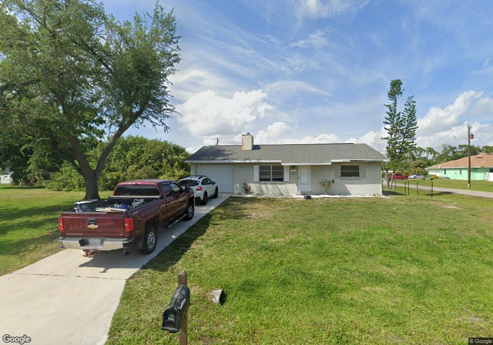
13632 Drysdale Ave Port Charlotte, FL 33981
Gulf Cove NeighborhoodEstimated Value: $187,000 - $305,000
2
Beds
2
Baths
1,101
Sq Ft
$211/Sq Ft
Est. Value
About This Home
This home is located at 13632 Drysdale Ave, Port Charlotte, FL 33981 and is currently estimated at $232,700, approximately $211 per square foot. 13632 Drysdale Ave is a home located in Charlotte County with nearby schools including Myakka River Elementary School, L.A. Ainger Middle School, and Lemon Bay High School.
Ownership History
Date
Name
Owned For
Owner Type
Purchase Details
Closed on
Oct 2, 2023
Sold by
Troesch Pamela
Bought by
Burge Joshua and Paradiso Dana E
Current Estimated Value
Purchase Details
Closed on
Nov 19, 2002
Sold by
Borland Christopher and Borland Janet L
Bought by
Troesch Pamela L
Home Financials for this Owner
Home Financials are based on the most recent Mortgage that was taken out on this home.
Original Mortgage
$63,100
Interest Rate
5.95%
Mortgage Type
Purchase Money Mortgage
Create a Home Valuation Report for This Property
The Home Valuation Report is an in-depth analysis detailing your home's value as well as a comparison with similar homes in the area
Home Values in the Area
Average Home Value in this Area
Purchase History
| Date | Buyer | Sale Price | Title Company |
|---|---|---|---|
| Burge Joshua | $125,000 | Near North Title Group | |
| Troesch Pamela L | $78,900 | -- |
Source: Public Records
Mortgage History
| Date | Status | Borrower | Loan Amount |
|---|---|---|---|
| Previous Owner | Troesch Pamela L | $63,100 |
Source: Public Records
Tax History Compared to Growth
Tax History
| Year | Tax Paid | Tax Assessment Tax Assessment Total Assessment is a certain percentage of the fair market value that is determined by local assessors to be the total taxable value of land and additions on the property. | Land | Improvement |
|---|---|---|---|---|
| 2023 | $1,106 | $52,343 | $0 | $0 |
| 2022 | $1,088 | $57,762 | $0 | $0 |
| 2021 | $1,084 | $56,080 | $0 | $0 |
| 2020 | $1,081 | $55,306 | $0 | $0 |
| 2019 | $1,015 | $54,063 | $0 | $0 |
| 2018 | $936 | $53,055 | $0 | $0 |
| 2017 | $930 | $51,964 | $0 | $0 |
| 2016 | $925 | $50,895 | $0 | $0 |
| 2015 | $907 | $50,541 | $0 | $0 |
| 2014 | $886 | $50,140 | $0 | $0 |
Source: Public Records
Map
Nearby Homes
- 13679 Drysdale Ave
- 14103 Fillmore Ave
- 13592 Foresman Blvd
- 14143 Fillmore Ave
- 13703 Drysdale Ave
- 13568 Drysdale Ave
- 13632 Clara Ln
- 6022 Gillot Blvd
- 6007 Gillot Blvd
- 13544 Drysdale Ave
- 13592 Clara Ln
- 5991 Gillot Blvd
- 13575 Clara Ln
- 5380 Bearup St
- 5400 Kasper St
- 14208 Fillmore Ave
- 13523 Drysdale Ave
- 13579 Romford Ave
- 5952 Gillot Blvd
- 13496 Drysdale Ave
- 13628 Drysdale Ave
- 6095 Gillot Blvd
- 13662 Drysdale Ave
- 13641 Drysdale Ave
- 13631 Drysdale Ave
- 6079 Gillot Blvd
- 13616 Drysdale Ave
- 5510 Bluestone St
- 6111 Gillot Blvd
- 6071 Gillot Blvd
- 6119 Gillot Blvd
- 13642 Foresman Blvd
- 13615 Drysdale Ave
- 13671 Drysdale Ave
- 13632 Foresman Blvd
- 13608 Drysdale Ave
- 13662 Foresman Blvd
- 13624 Foresman Blvd
- 13680 Drysdale Ave
- 6094 Gillot Blvd